There always needs to be a deep respect for the mountains that surround you. Mountains will always let you know when they will allow you to climb them. This was the case when both Amar Andalkar and I decided it was time to head for the crown of the Cascades, Mt. Rainier. Winds can be a good friend on a hot summer day but they can also be your worst enemy when you are climbing a massive glaciated volcano that hovers over 7,000 feet above the surrounding mountains. Whether being tossed around by the winds or the cool breeze not allowing the snow to soften, it was obvious we would have to wait for the mountain to allow us to ski/ride it.
Amar is the type of person who puts every ounce of energy into whatever he does, so I was all ears when he told me that the forecasts for Mt. Shasta seemed much more favorable then Mt. Rainier’s. We made a group decision to go to the crown of the southern Cascades and ride the east-facing Hotlum Wintum route on Shasta while keeping a close eye on Rainier’s forecast and waiting for the winds to die down. That night we made the nine-hour journey to the base of Shasta. Amar slept in his comfy car while I was maliciously attacked by swarms of mosquitoes in my sleeping bag.

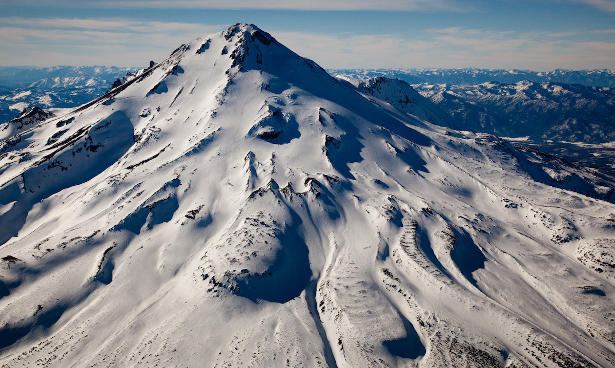
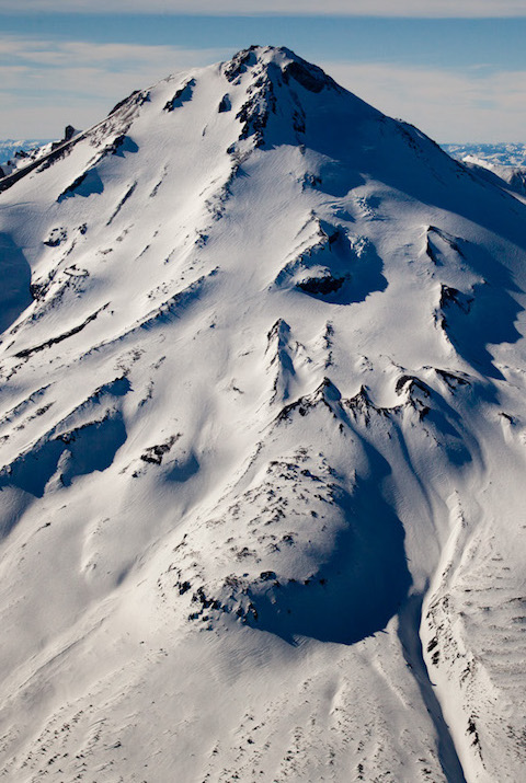
We woke up at 4 a.m. with the skies still pitch black. At a starting elevation of 7,200 feet, the only snow that could be found was in a small creek bed where we started skinning at 5:15. We reached treeline just as the morning sun crested over the mountains to the east. A light spectacle took place on Mt. Shasta in front of us, displaying colors of bright pink and orange as the sun slowly swept over the face. Each step took us higher into the alpine, where the snowpack quickly went from long patches to wide-open glacier. The progress was quick with minimal breaks and, maximizing our skinning, we made it to almost 13,000 feet before switching to crampons.


With a boot pack already placed, we found ourselves up on the summit before noon, joining the groups of people who had climbed the southern “standard” route. We mingled with others and took quick summit photos before putting our skis/boards on and started descending down the headwall.

What at first was a tad bit icy quickly became perfect corn, delivering a perfect 3,000-foot fall line of the smoothest corn I had skied all season, before traversing back to our ascent route and skiing the final 3,000 feet to within a mile of the car. In total, our descent was somewhere around 6,000 feet—which isn’t bad for the end of July.


Back just before 2:00 p.m., we tossed our gear in the car and decided it was time to head north—but not without taking a few stops along the way. Our route back to Washington followed the Oregon Cascades, which is filled to the brim with volcanoes and scenery. That night we watched the sunset over Crater Lake before catching some sleeping down at Diamond Lake, an area bordered on two sides by massive volcanoes, Mt. Bailey and Mt. Thielsen.

The next morning we traveled north with our destination being Mt. Adams, stopping along Newberry Crater, a mile-long lava tube, and McKenzie Pass before heading to Hood River right at sunset. We ate pizza and looked at the forecast and Amar spotted a brief break in the weather coming in two days. Knowing that my goal and final peak for my project was Mt. Rainier, we decided to ditch our plans for Mt. Adams and head up to Rainier. That night we slept on the side of the road and prepared for the final leg of our trip.