The Frying Pan Creek Loop was an idea I came up with linking some of my favorite lines on the East side of Mount Rainier. I had spent numerous years touring each spot and I wanted to link them all up in one single tour. We would leave our sled at Fryingpan Creek and after 11 miles and 7300 feet we would be back at our original point. In total it would be 3 Couloirs, 1 avalanche path and 1 tree run.
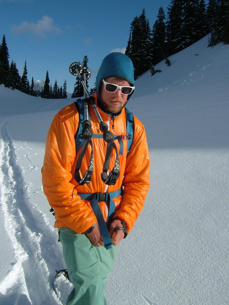
The sled ride up the White River road went fast as we blazed through a few inches of new snow. Soon enough we arrived at Fryingpan Creek and Boot checked his watch. It had taken us 30 minutes from the Crystal Springs snowpark to where we were. This was a new record for us.
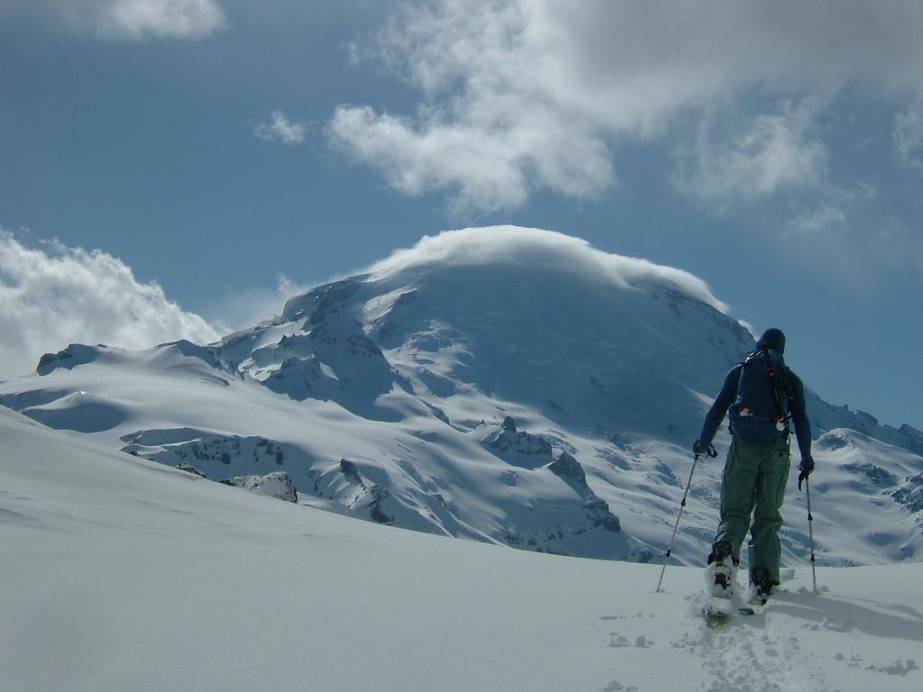
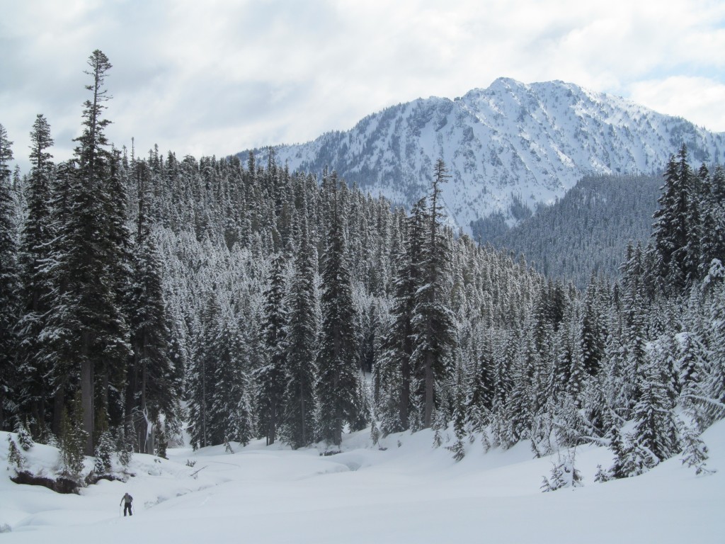
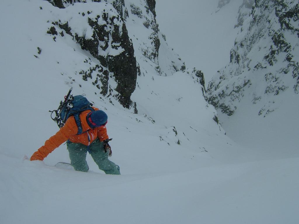
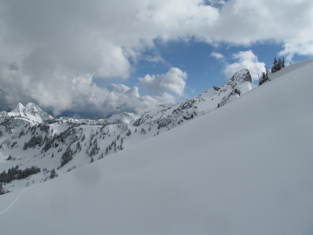
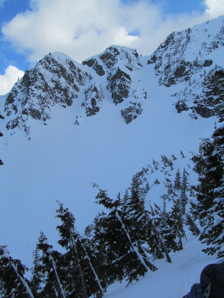
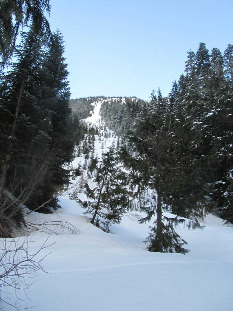
Ski Touring up Fryingpan Creek
Within minutes we were skinning up the Fryingpan Creek trail. This valley is one of my favorite in the Cascades. There is not much old growth left in Washington state after over a century of logging but this place remains preserved.
We skinned up the Summerland trail for a few miles before breaking off of the trail. The snowpack was deep enough that we could skin directly up Fryingpan Creek. Looking back the views were opening up of Tamanos Mountain. Our final descent of the day on the far left of the ridge in the photo below.
Leaving Fryingpan Creek for a more direct Route
Before long we split off of Fryingpan Creek and starting our own more direct route up to Fryingpan Gap. The drainage was much more direct but quickly became a canyon with numerous waterfalls along the way. Soon we made it up to a small waterfall crux. Those 20 feet separated us from the easy and open slopes above.

The crux was a 20 foot tall waterfall with a steep snow ramp on the side. Being stubborn I attempted to skin it via veggie belay and some careful footwork.
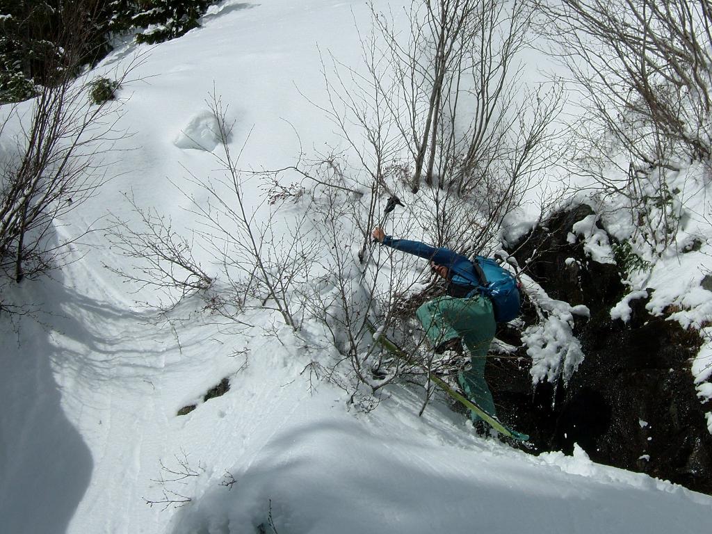
Making it to the top of the waterfall there was a sigh of relief. Having to turn back and go around would have cost us an extra hour. Boot wasn’t interested in the steep skin track and instead just climbed up instead.
Soon we were skinning up the open slopes of Summerland below Fryingpan Gap. The weather seemed to be clearing up as Mount Rainier came into view. From what we could see it seemed like all the crevasses were covered on the upper Emmons Glacier. While we thought it would be a great day on the Interglacier we were happy to be attempting this tour.

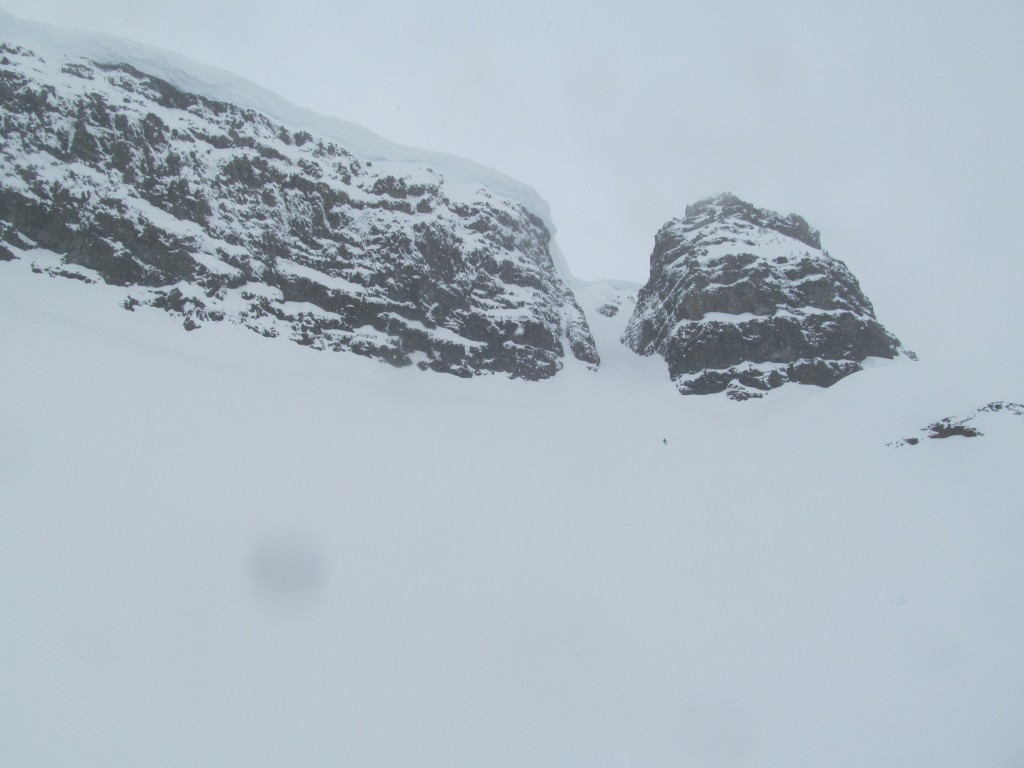
Arriving at Fryingpan Gap
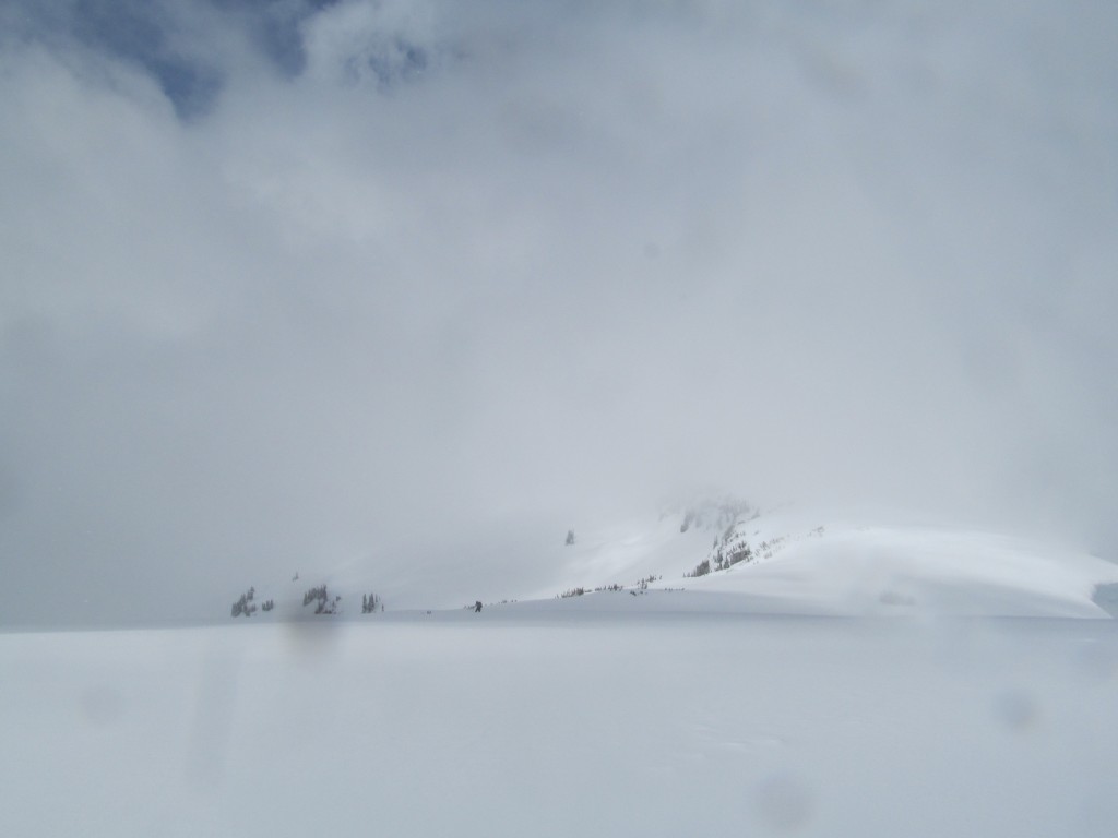
What was at first bluebird slowly turned into white out conditions arriving at Fryingpan Gap. With our familiarity of the terrain we made our way towards Banshee Peak. The previous year Jason Hummel and I were doing this section of the Route from Paradise to Crystal Mountain.
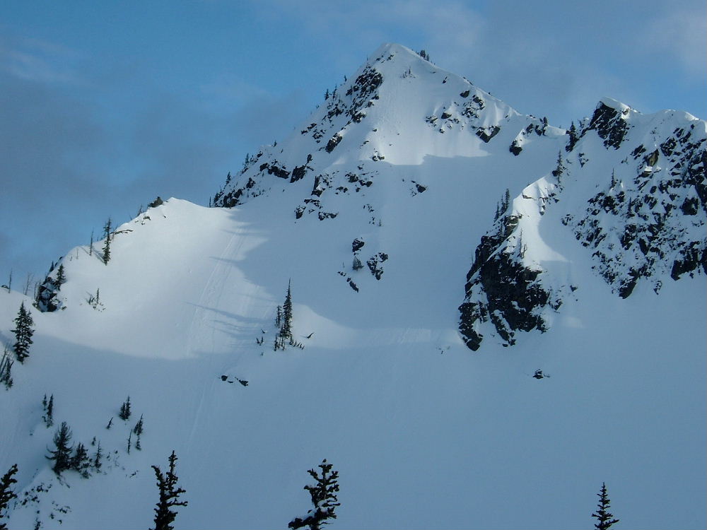
Snowboarding the Banshee Couloir
I was able to navigate our way up onto Banshee peak and before long we were standing on top of the Banshee Couloir. Visibility would come and go so we waited for a weather window.
It seemed that it wasn’t going to get sunny so we dropped in one at a time. The snow was amazing as each turn was a face shot and soon the line opened up. Once on the lower apron it was wide open powder turns all the way to the Sarvant Glacier.
By the time we had transitioned to skinning the clouds had moved in thick. We were navigating in a white out but I felt confident in the terrain. I made a slowly rising traverse up towards a rock ban I could barely see. We made our way to the mellow col and navigated around the southern slopes to the Cowlitz Chimneys col.

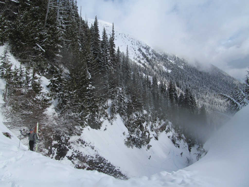
White Out Conditions on Top of the Cowlitz Chimneys
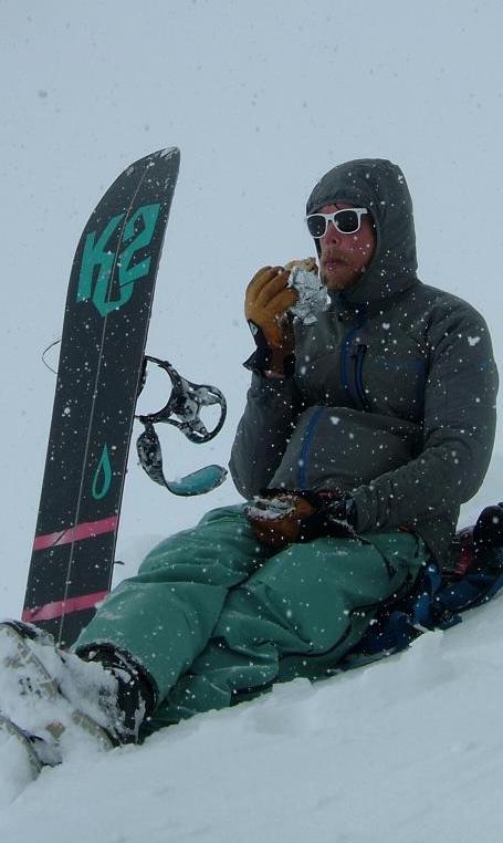
We sat on top in a totally white out and patiently waited for visibility to improve. We ate our lunches and chatted about our history with this run. Two years prior we had sat at this same col and had been skunked on weather. We kept joking that “third time is the charm”. A few minutes later the clouds lifted and we quickly got our gear together for the descent.

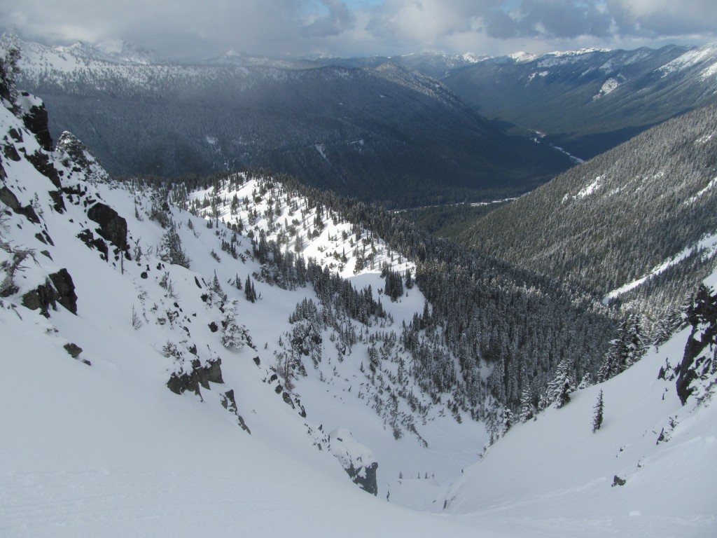
We were on a race against the visibility as we dropped in one at a time. There was no safe spot to stop in the middle of the run so we would ride to the bottom. The line was loaded with snow as we rode the line top to bottom over 2,000 feet. This was the crux of the trip and now we would have to go over Tamanos Mountain to get back to Fryingpan Creek.
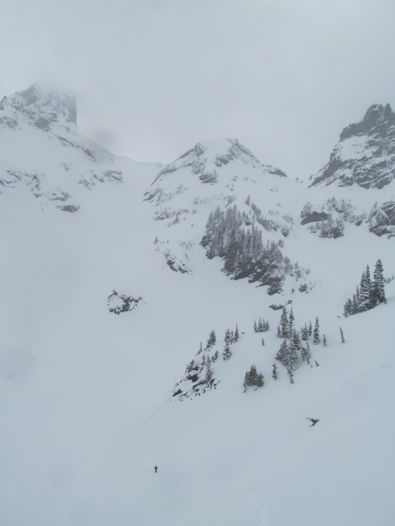
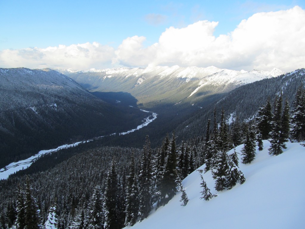
Heading Towards Owyhigh Lakes
We skinned up a steep section of ridge occasionally looking back at our line. As always the visibility started improving and we heckled the mountain wishing we had been more patient. Once on the low ridge we made a quick descent down to Owyhigh Lakes. With the sun out it was the best snow and visibility so far in the trip.
From there it was time to head up Tamanos Mountain. By now I on the search for an open hole to access water. We had covered a lot of ground already but we still had a ways to go before Fryingpan Creek. Heading towards Owyhigh Lake I was able to find a hole and refill my water bottle.

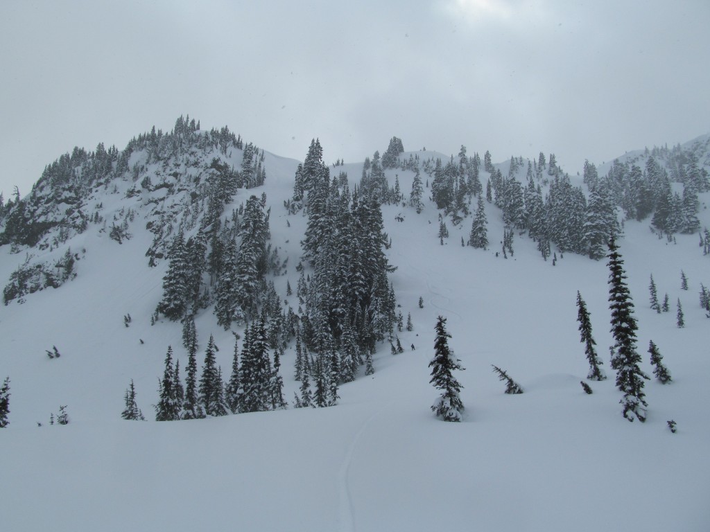
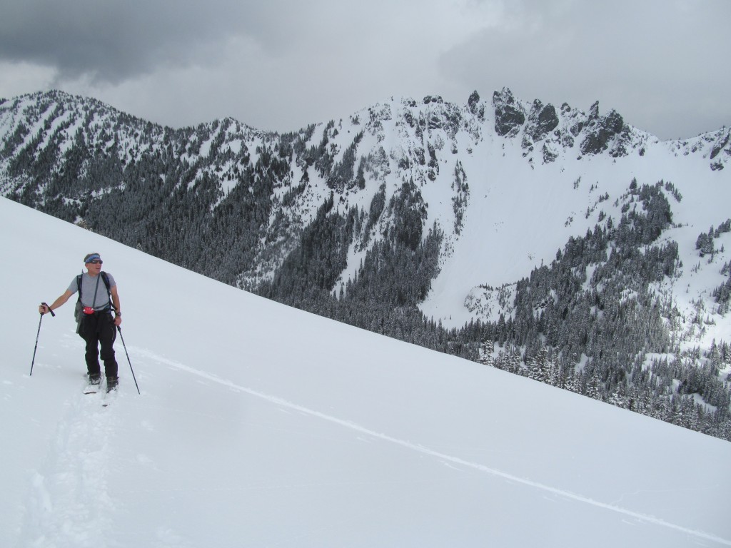
Climbing up Tamanos Mountain
With a mellow and well placed skin track we made our way towards the ridge of Tamanos Mountain. It seemed that the weather was clearing up as we looked back at Cowlitzs Chimneys. The peak was cloudless and a small part of me wished we were still there. It was a race against time so I was happy to be where we were.
Behind us was our previous run in the foreground of the photo below. By now Double Peak was basking in the late afternoon sun. We wondered what our last run would be like as it was on the same aspect all the way down to Fryingpan Creek.

A switchback at a time we made our way towards the ridge hoping to get a good view. Behind us was Governors Ridge which I was able to ride a few years back.
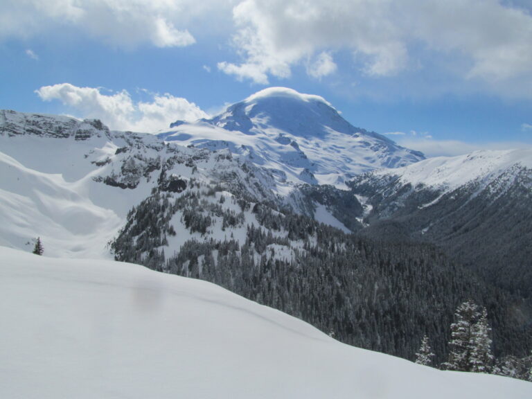
Once on the ridge the views of Mount Rainier and Whitman Crest opened up. There was a cloud on the summit and we could see strong winds coming from the west. We felt fortunate as there was no winds were we were.

Heading further up the ridge we got a clean view of the Banshee Couloir on the right side of the photo below. It was a sweeping view as we looked out upon Fryingpan Creek and the Emmons Glacier in the distance.
Snowboarding the Northeast Couloir of Tamanos Mountain
From the summit ridge it was time to ride our forth run of the trip down the Northeast couloir of Tamanos Mountain. This was a line we had rode numerous times before and we were in the home stretch of the trip. We dropped into the couloir one at a time with Boot once again being the guinea pig. When riding we are always aware for potential slides and slabs so when Boot rode in he made his way over to a safe zone.
Once riding down the chute and most of the apron we traversed towards the North side of the mountain. We had one final skin and descent before arriving at Fryingpan Creek. As we transitioned to skinning we kept looking back at our line. It’s a very aesthetic and sheltered run.
As we skinned towards the Northwest ridge we were back in the sun. The route had gone smooth and we had one final descent after a quick 30 minute skin.
Passing under the North face of Tamanos mountain we were reminded of how fun a line it was. The previous year we had a long day riding four lines on Tamanos Mountain and it was one of the highlights of the season.
Snowboarding the East Ridge of Tamanos to Fryingpan Creek
From the ridge we were standing on a 2500 foot slide path that runs directly to Fryingpan creek. This would be the last run and it would leave us within a mile of the sleds. Taking in the view we could see Crystal Mountain glowing in the sun.
We said our goodbyes to Rainier as we made our descents down the avalanche path. We were a bit surprised finding stable pow for the first 2000 feet before smooth slush corn the rest of the way to Fryingpan creek. Normally the line was firm and filled with avalanche debris. This was the best conditions I have ever had that line in.
Exiting via Fryingpan Creek
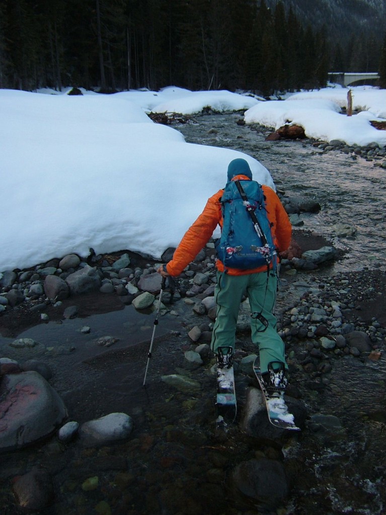
The exit via Fryingpan creek is always a pain. There is never a snow bridge and it is almost guaranteed to get you soaking wet but this time it wasn’t the case. We immediately found a log jam and made our way across on foot before putting our skis on.
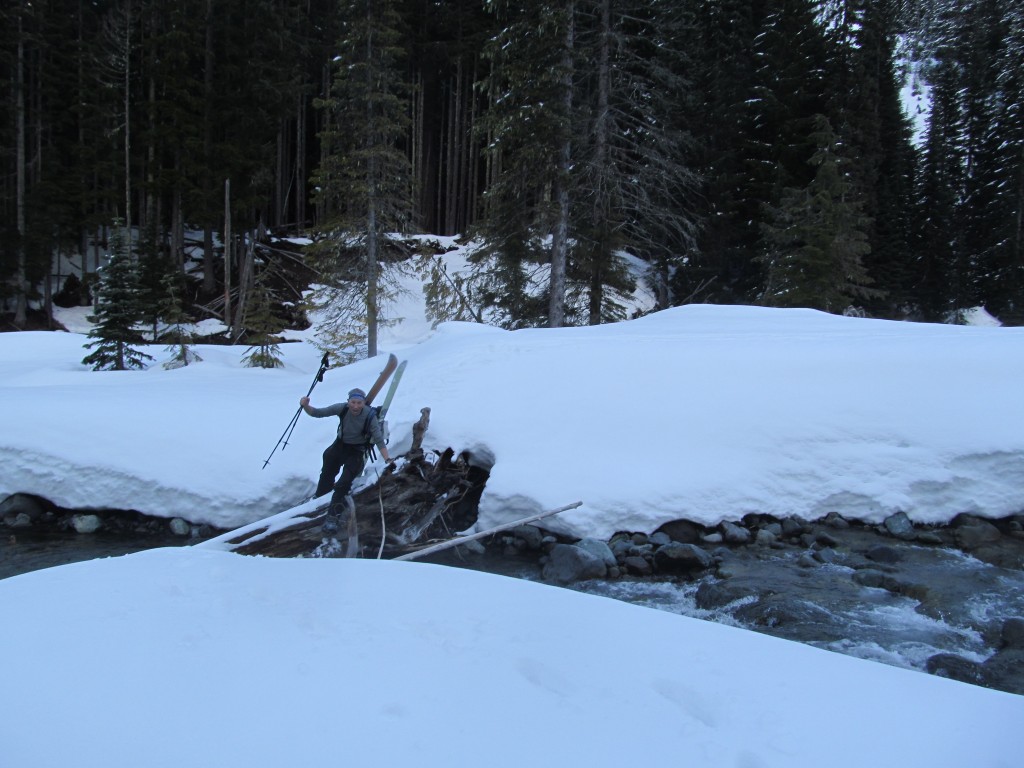
From here on out I was able to skin the whole way back to the sleds, stubbornly skinning on rocks across a few creeks but still skinning.
The ride back was easy until we got to the Mathers Y. It turns out while we were up on the White River road the plow driver for WSDOT cleared both lanes of the road. For the last 6 miles we had to ride down on bare pavement. Soon we were back at the car and celebrating another great trip up the White River road.
In Conclusion
The Fryingpan Creek Loop was a great ski tour and a fun way to link such great lines. While we did it in the Winter it could be done once the White River road opens up. If that was the case I would finish the trip after the Northeast chute of Tamanos Mountain down the Owyhigh Lakes trail. It could easily become a classic ski tour and I can’t recommend it enough.
Thank you for reading and trip and want to see more ski tours within Mount Rainier Backcountry check out this link