- Time 6 Hours
- Distance 11 kms
- Vertical 1,300 meters
- Weather conditions: A sunny day with minimal winds and good north facing snow
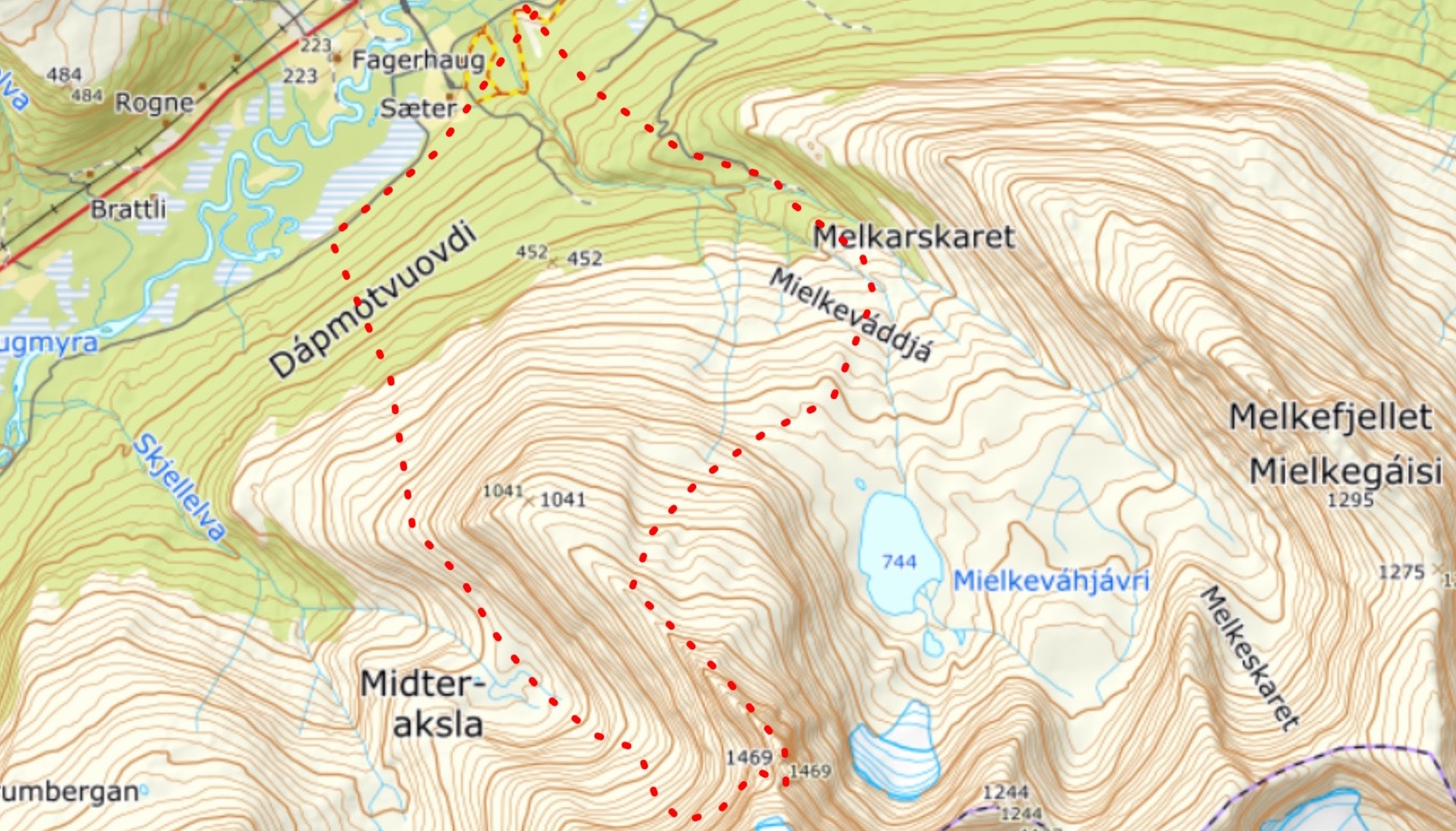
- Route Description After a mellow climb to Istinden Ridge we switched to crampons and climbed up and over the Summit to a low col. From there we rode into the basin finding a path through the cliffs on the skiers left than rode into the flat basin than skinned around the shoulder before descending to the XX trail.
Trip Report
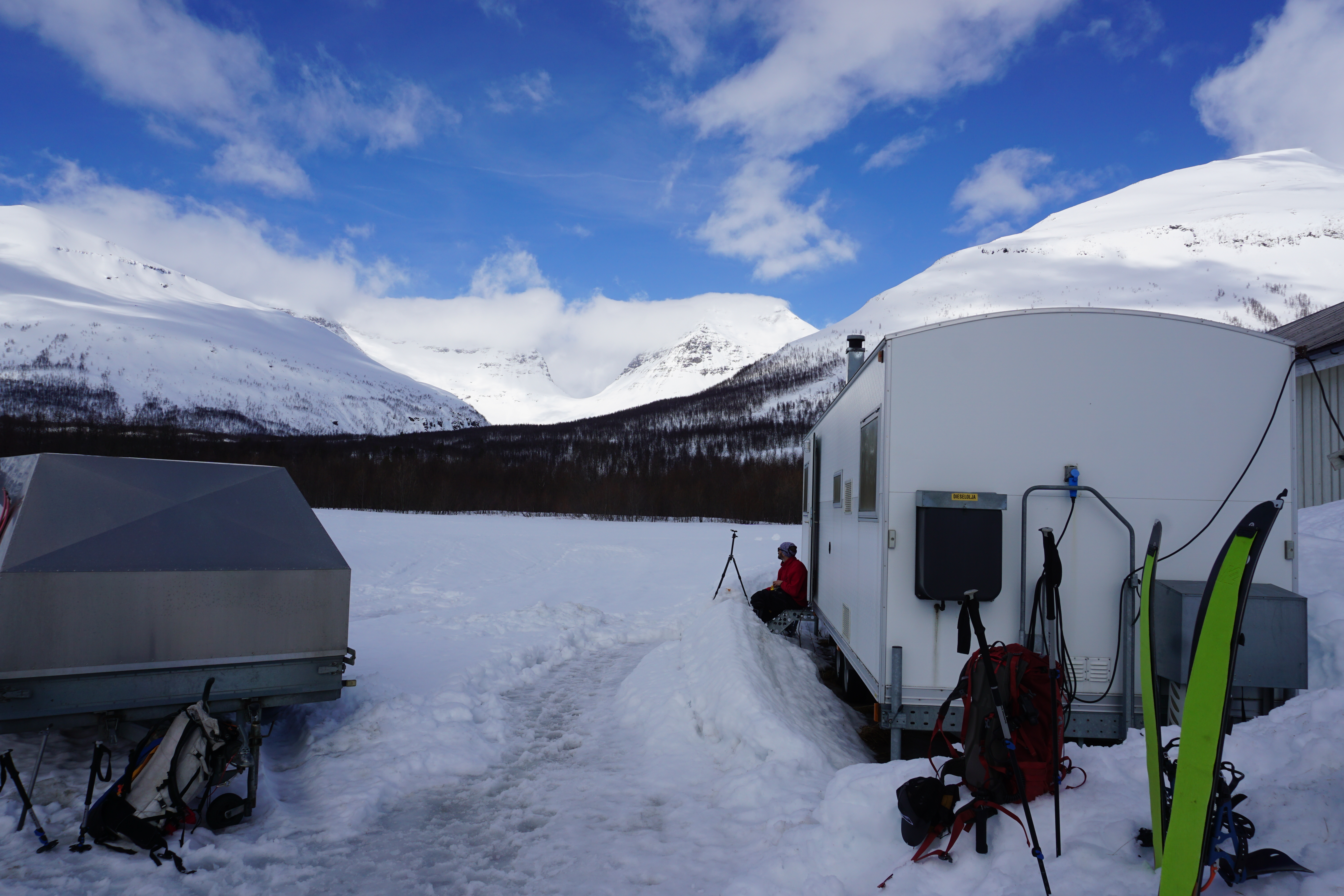
While being the hut keeper at Tamokdalen I was staying in a trailer outside the house and my friend Samppa arrived. He had been the hut keeper the previous 5 years and it was good to have him back at the place. On our first day out we decided to head for the summit of Istinden, the main peak behind the hut and explore the area
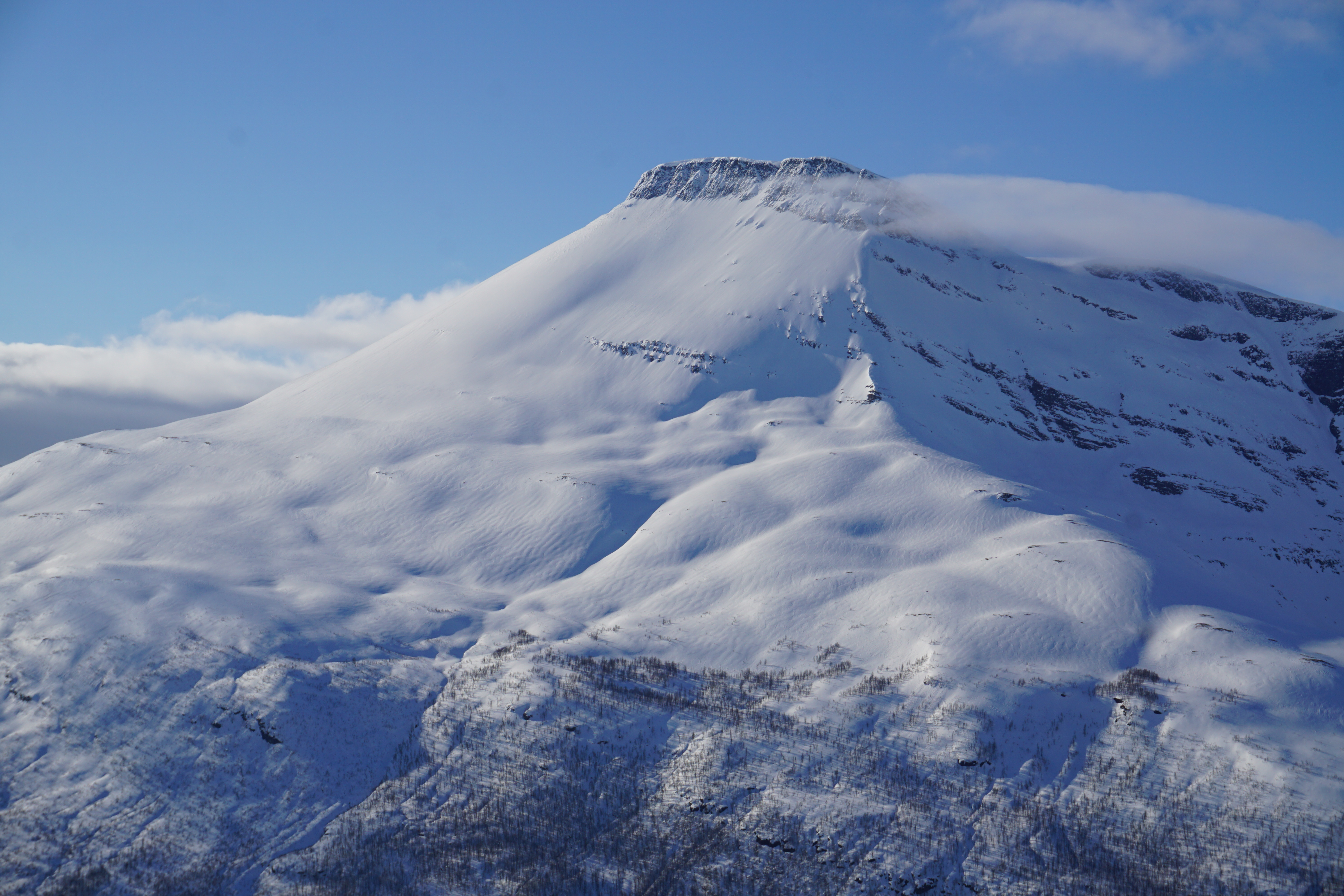
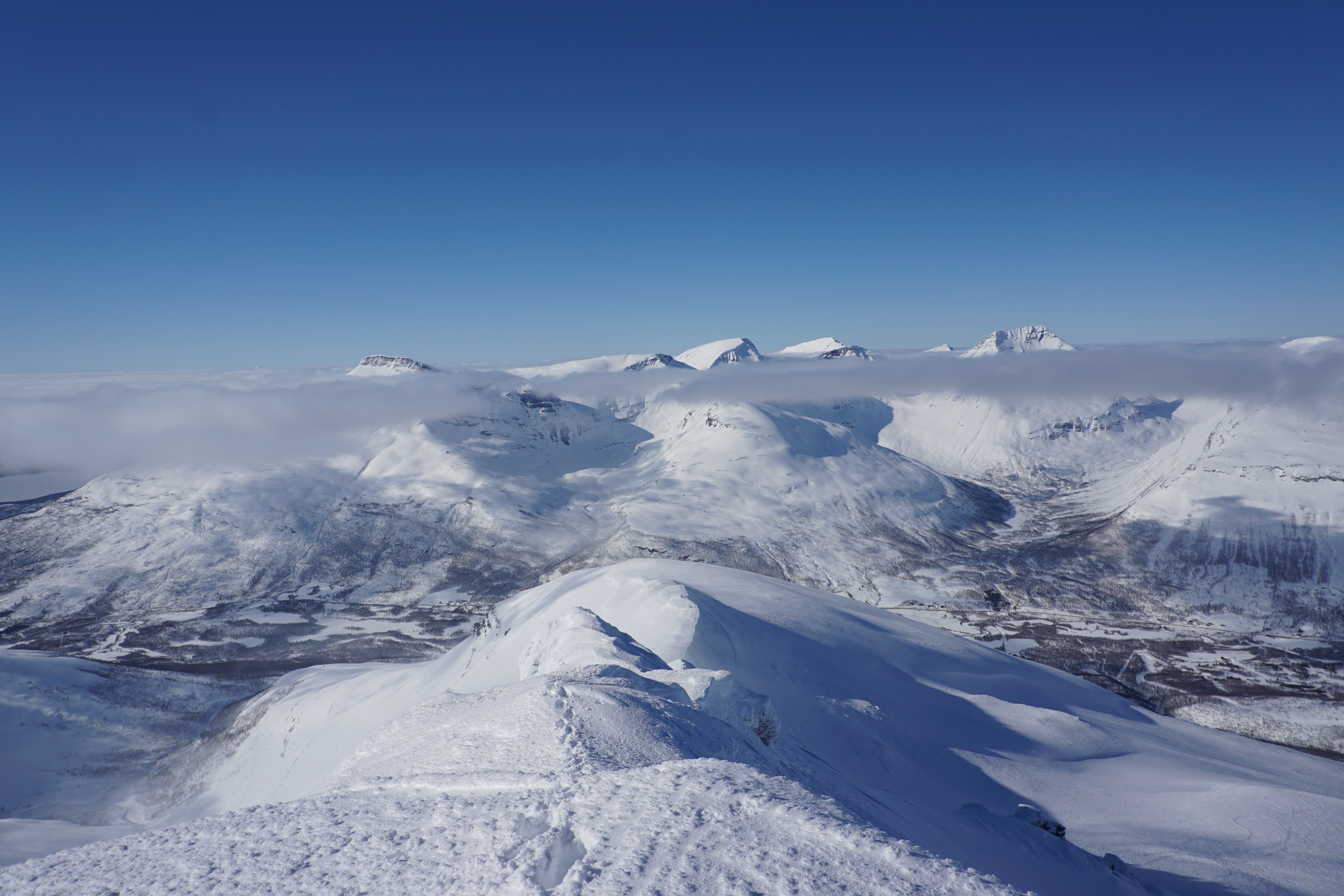
 It was a beautiful day as we skinned into the alpine and up the mellow terrain as clouds moved by and the top of Istinden
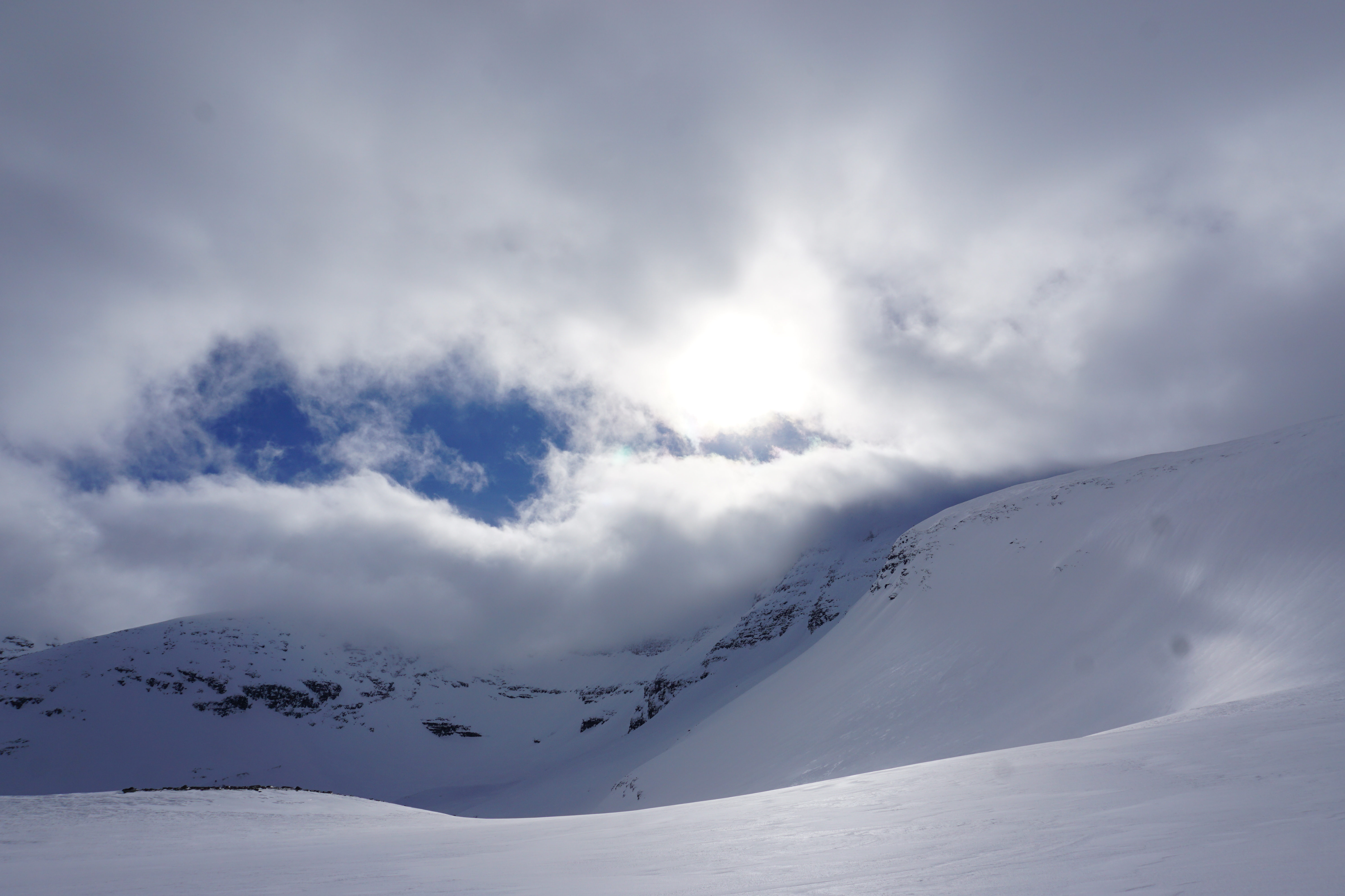 We could tell that the clouds were starting to burn off and it was going to be a beautiful day
 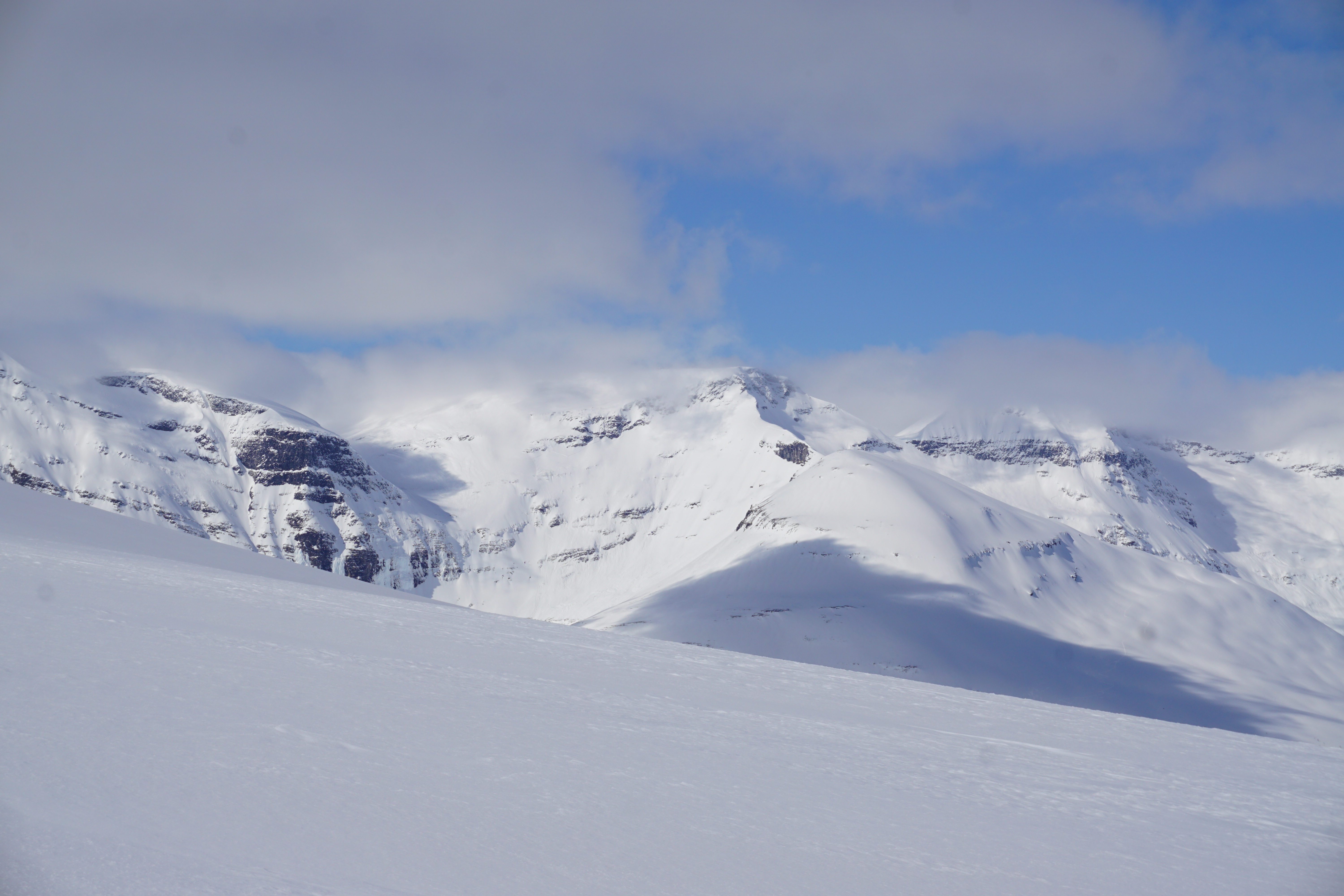 Soon enough we made it up to the main NW ridge and I switched over to crampons and started bootpacking
 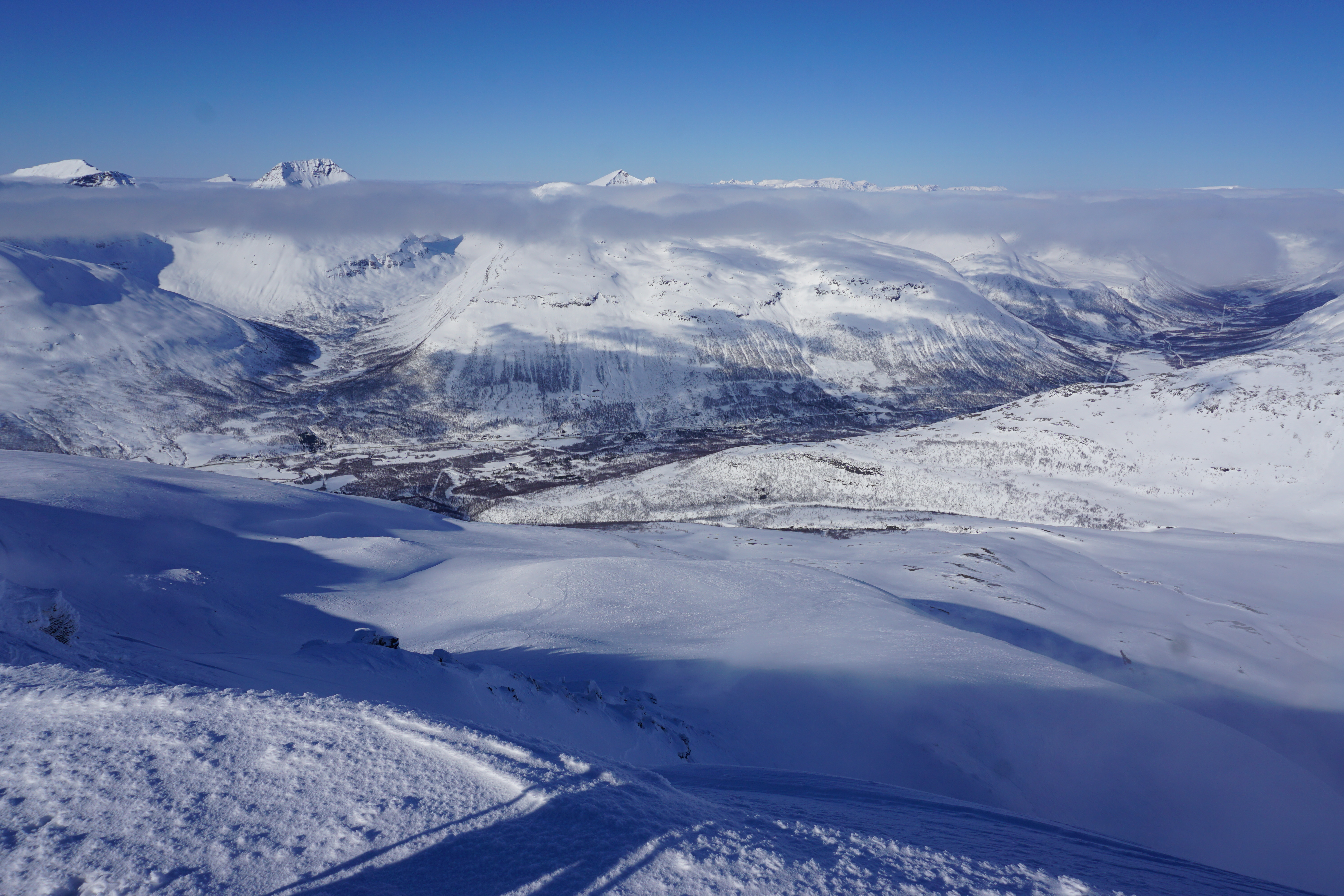 Looking at the terrain above the Hutte
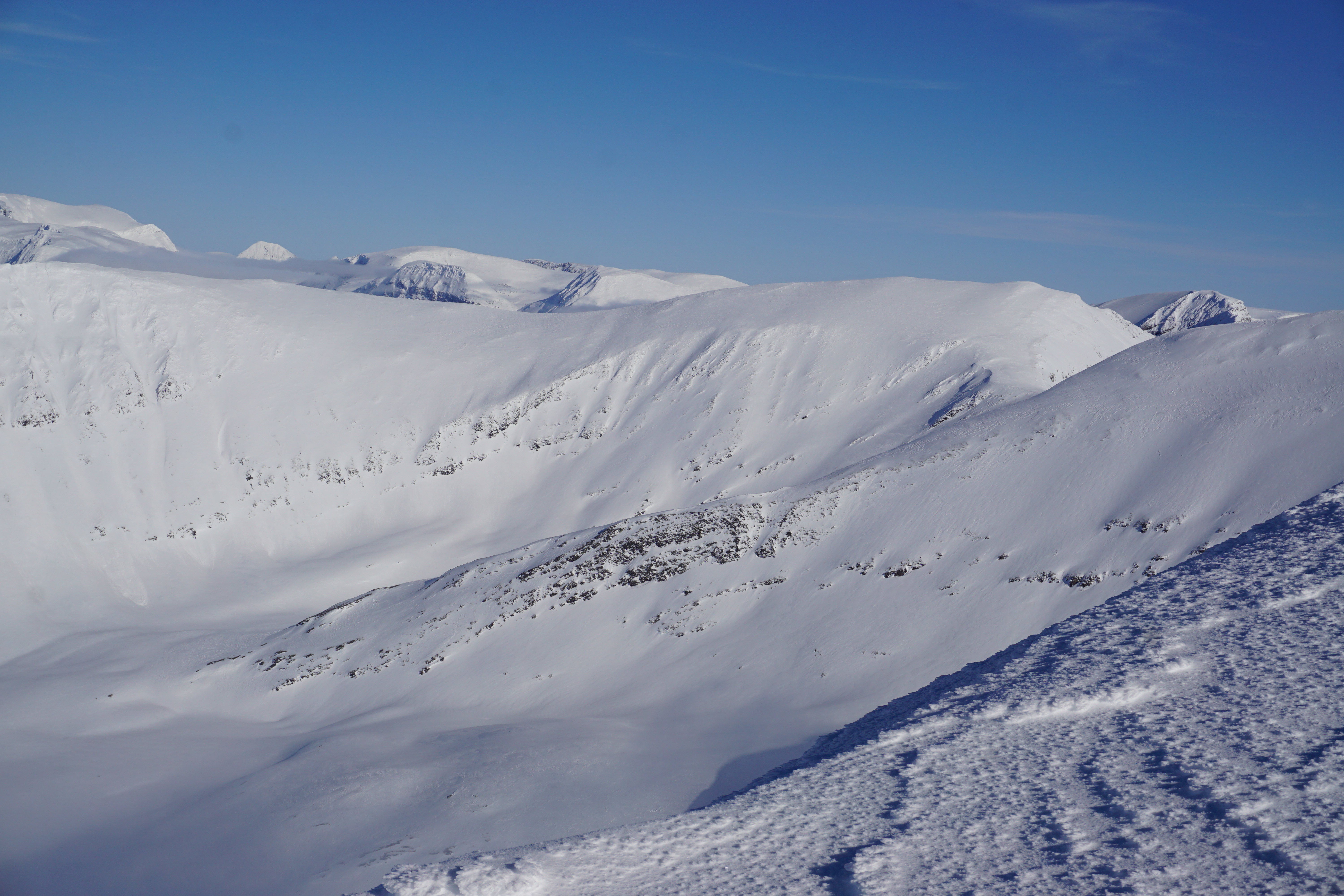
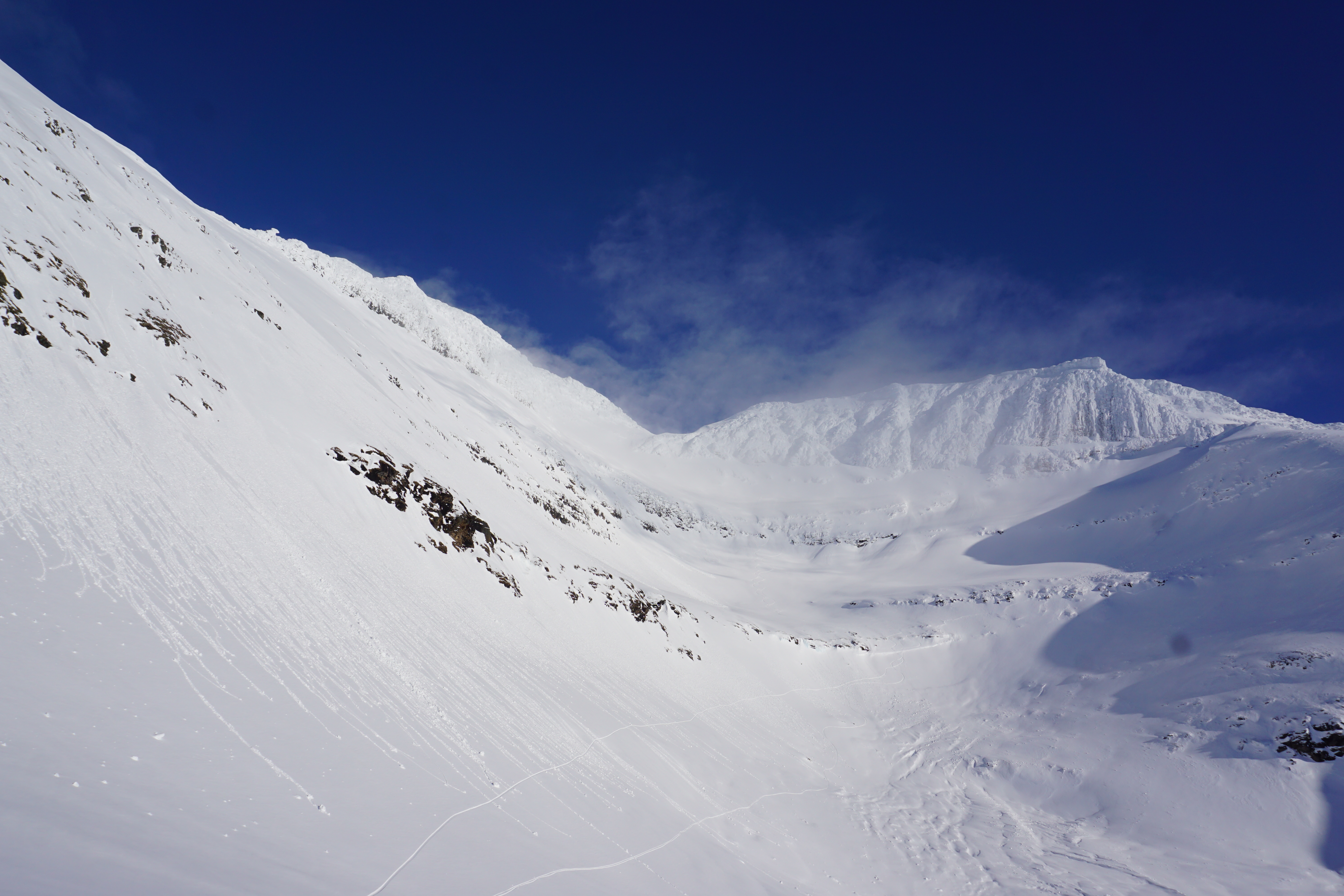
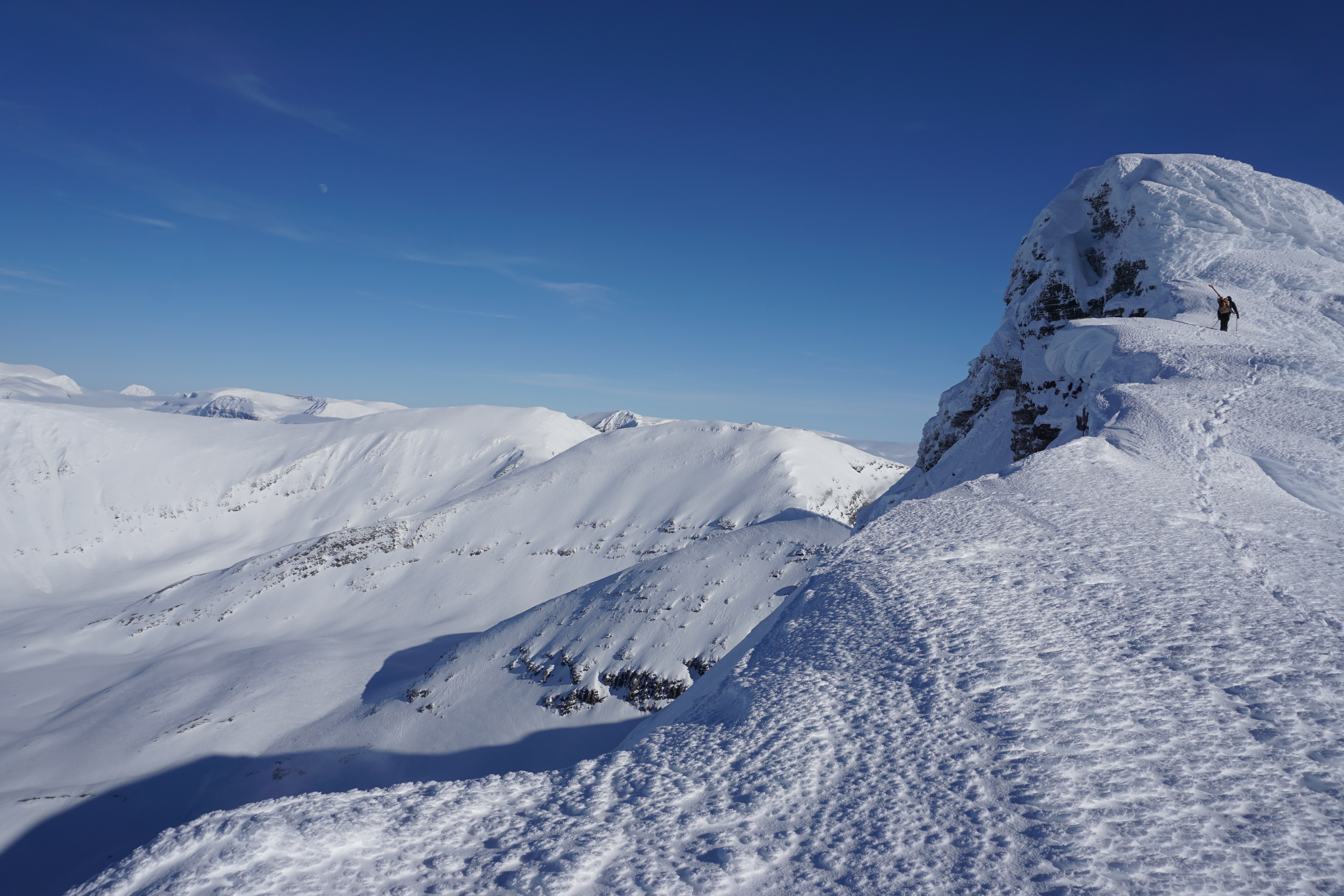 Most spots were a mellow ridge making sure to stay away from potential cornices of the East face with a few bumps require a few meters of frontpointing followed by another mellow ridge
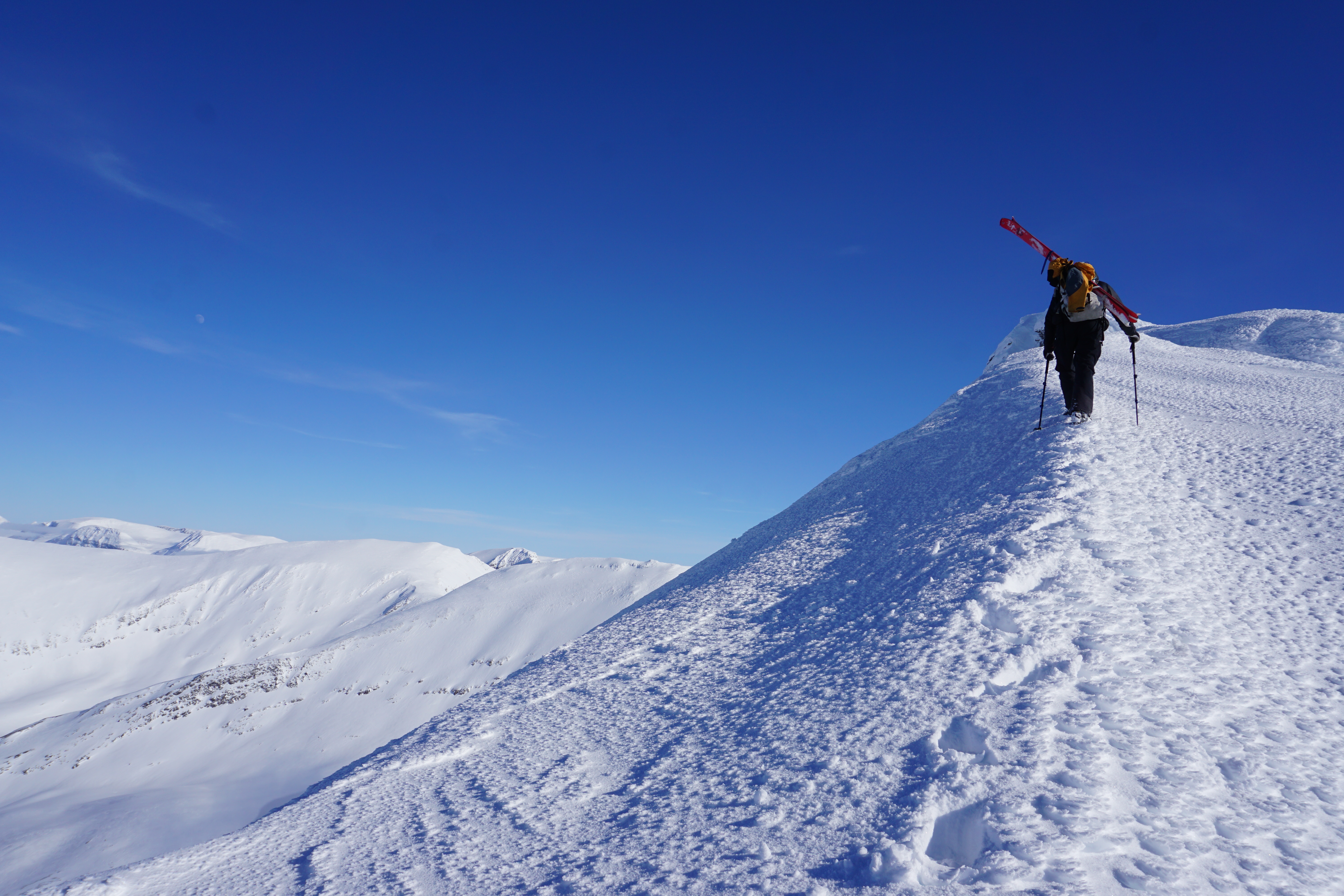
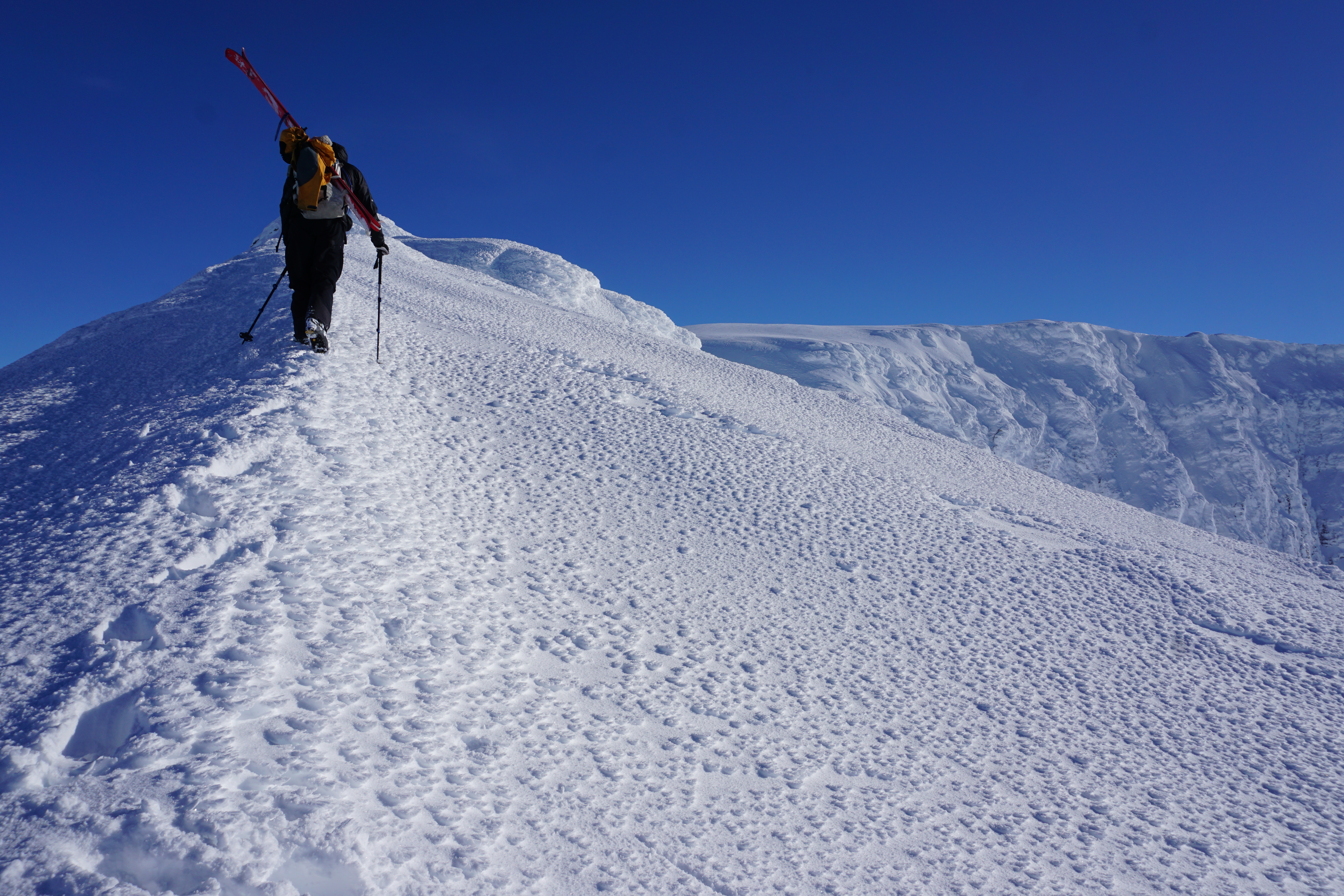
 Soon enough we were transitioning on the summit of Istinden on a beautiful day with little wind.
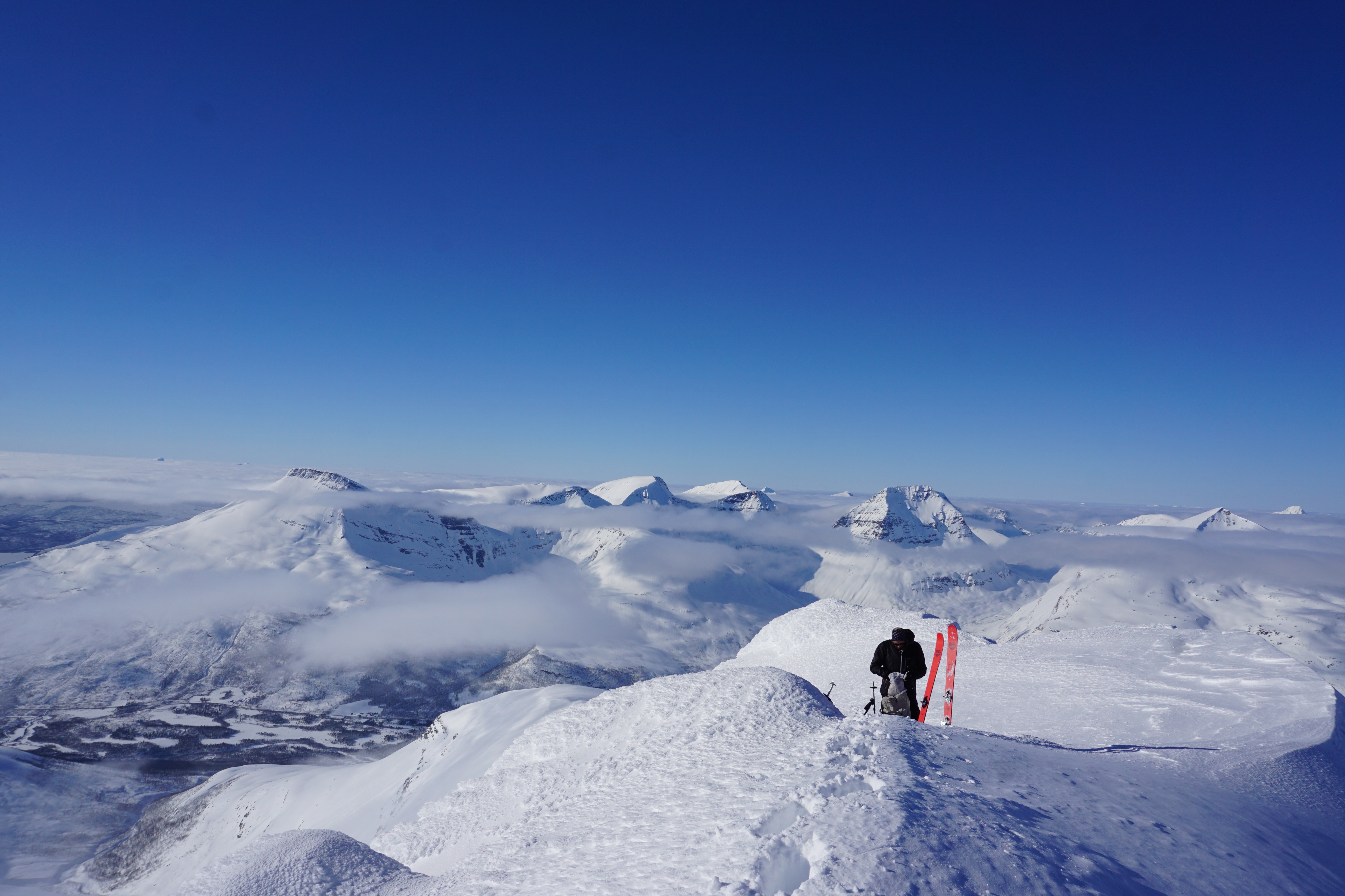 Looking down the ridge and towards Sjuefjellet in the distance
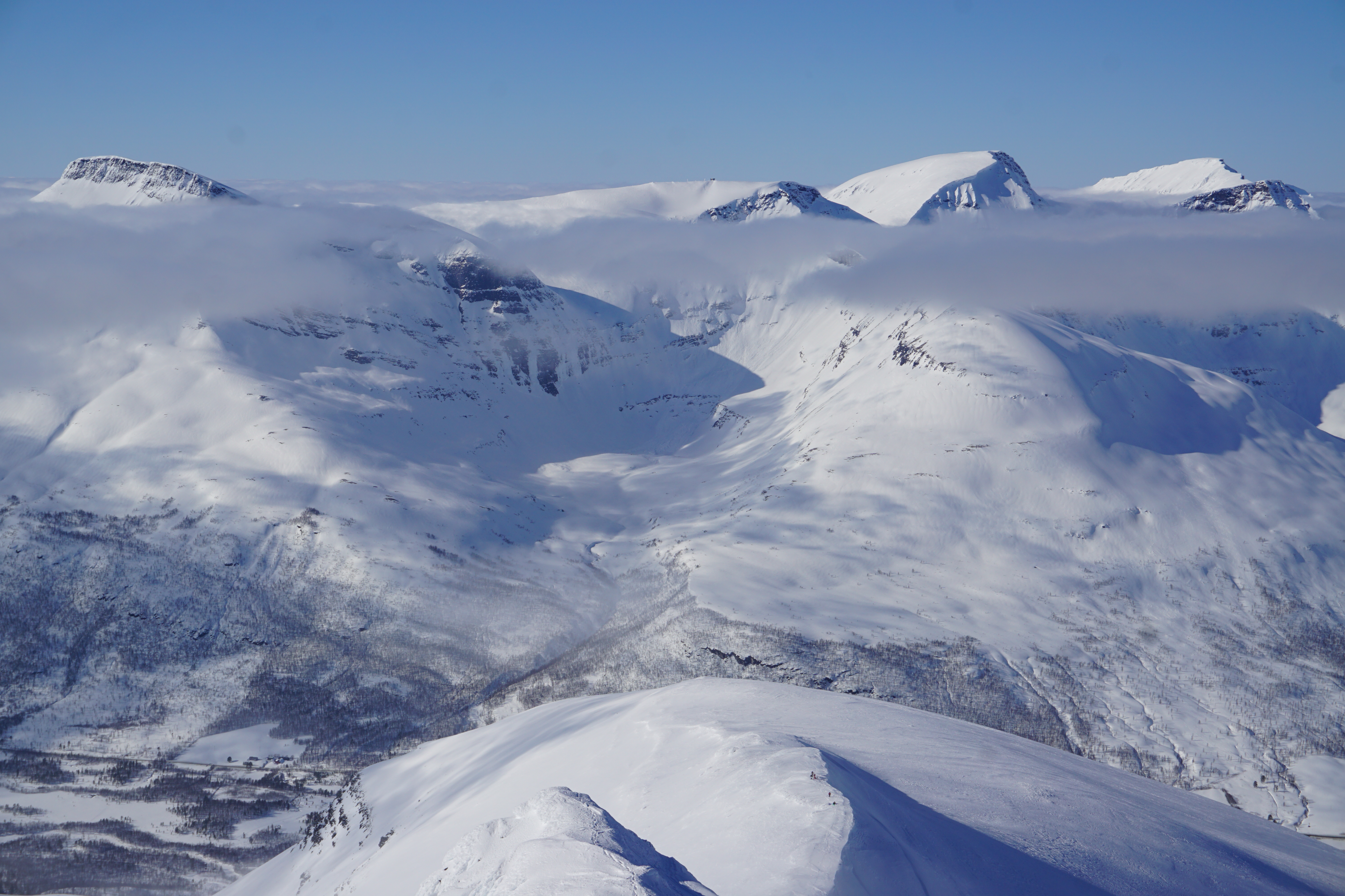 After transitioning we went South towards the low col that would allow us access into the NorthWest basin
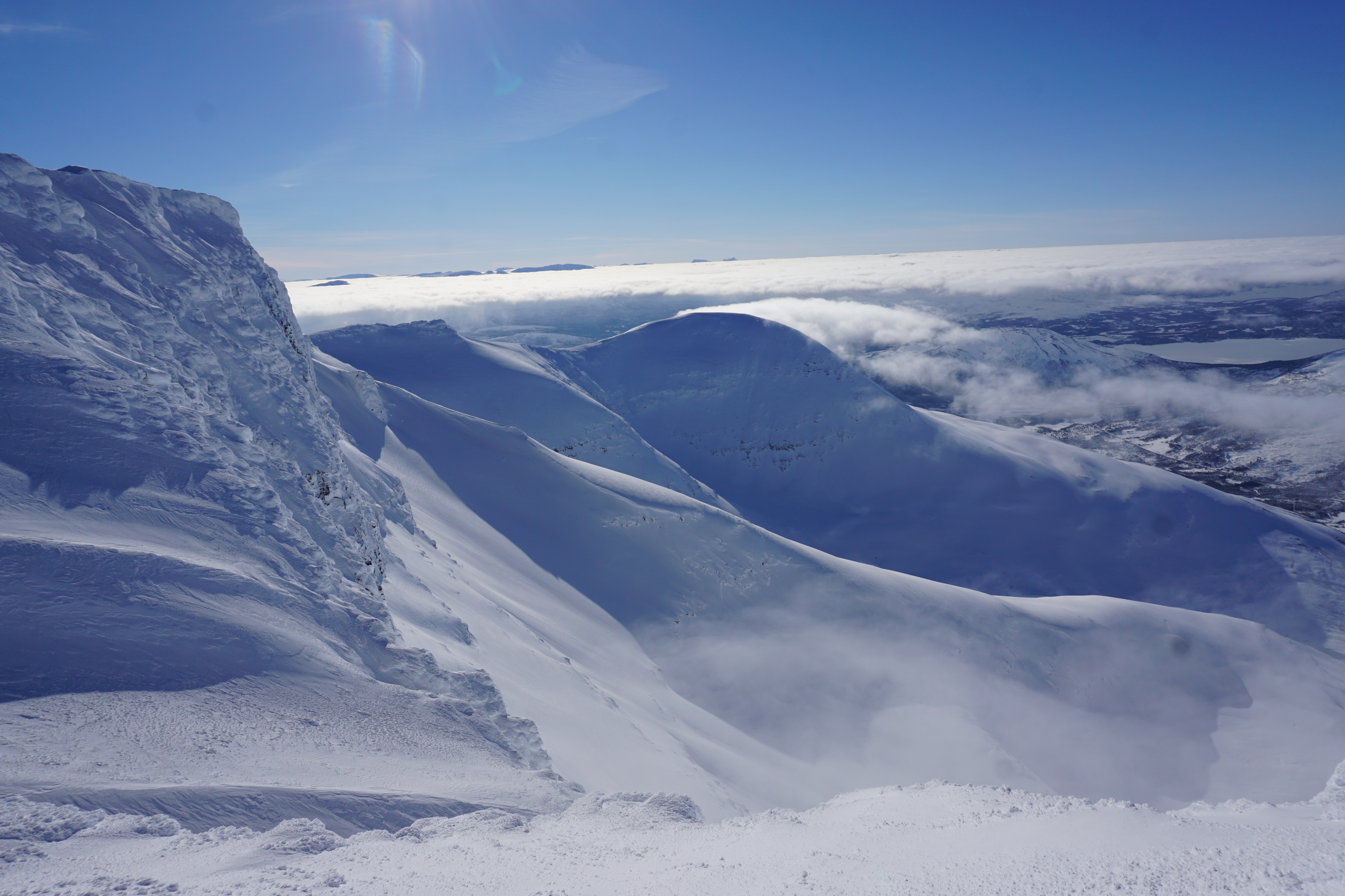
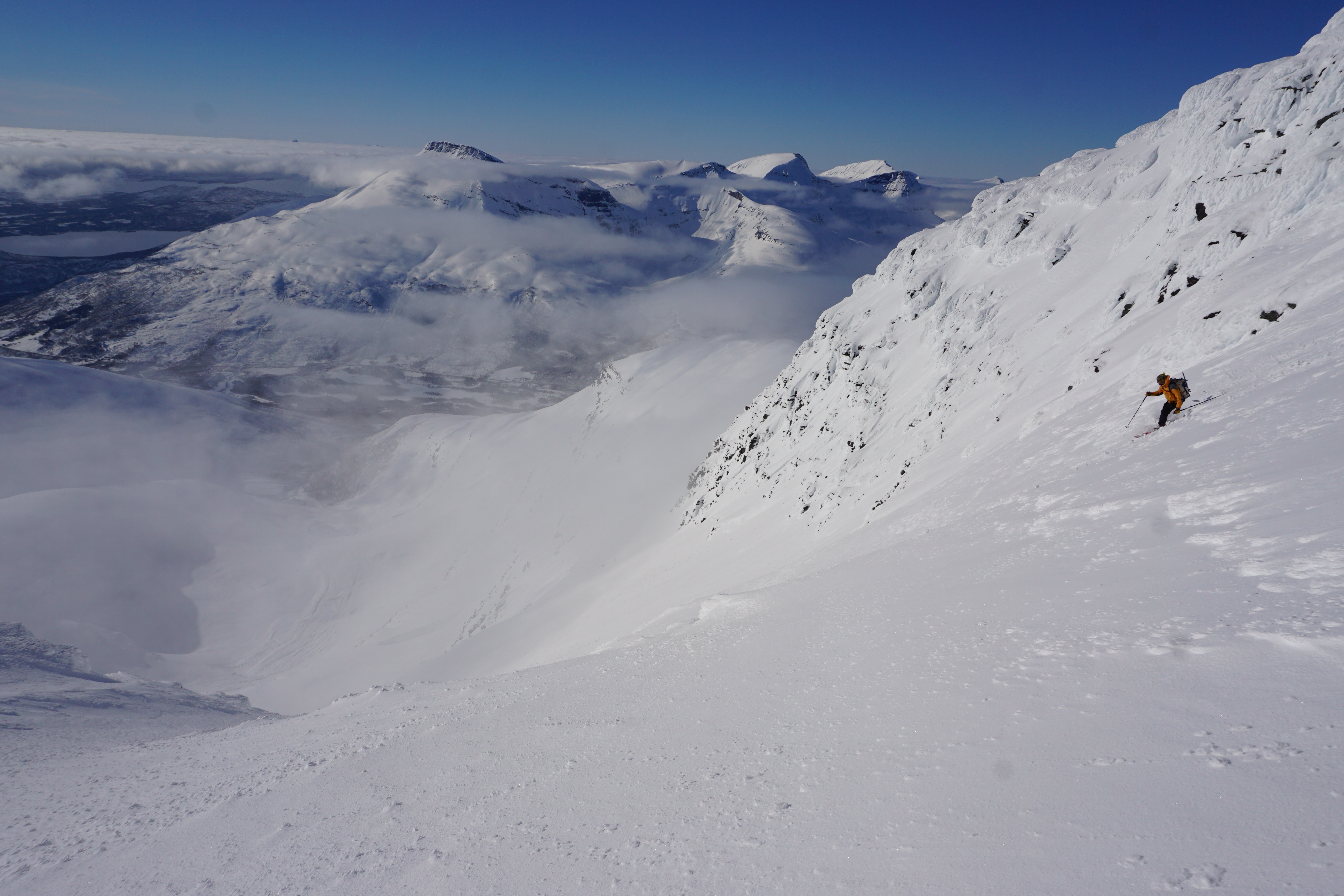
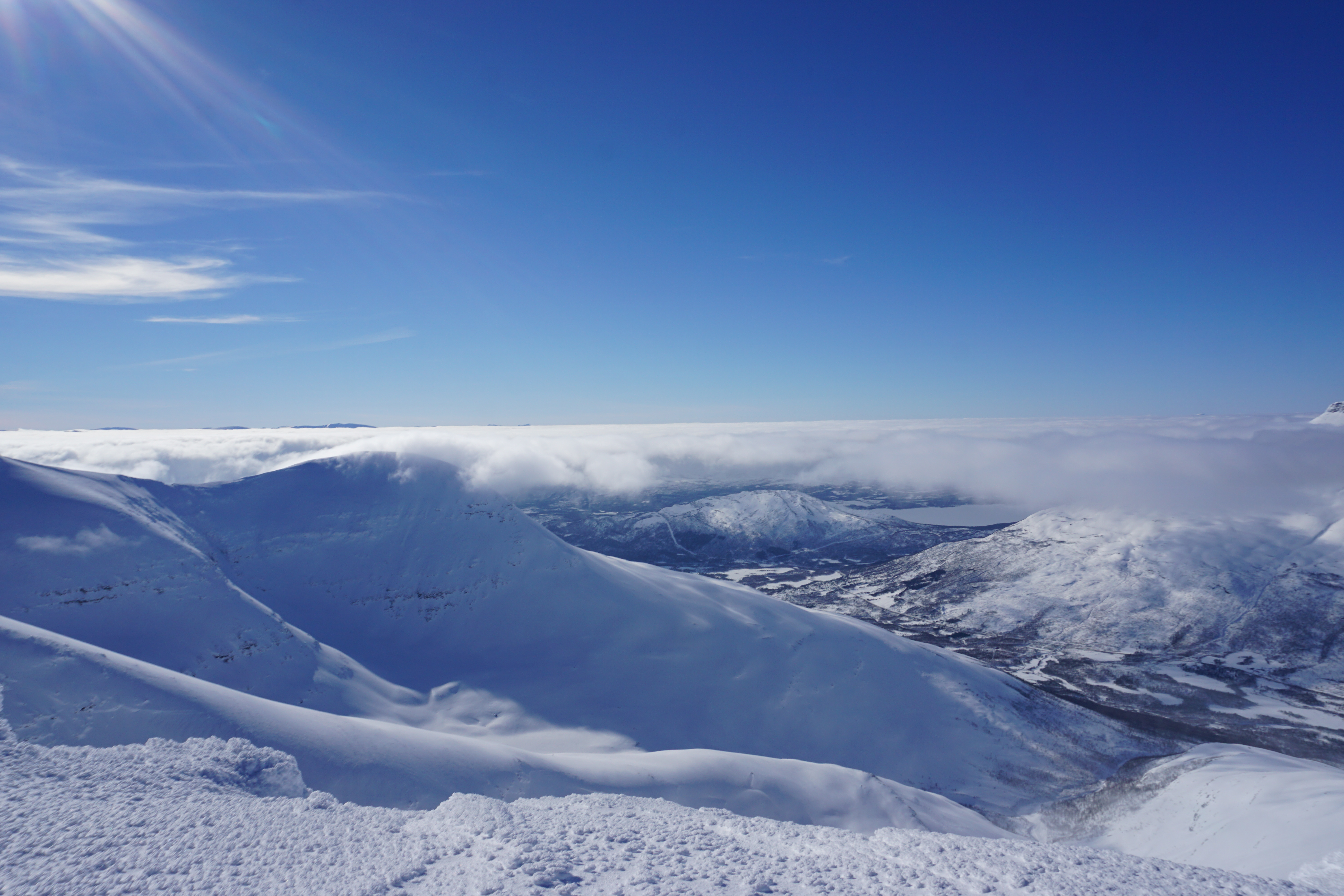
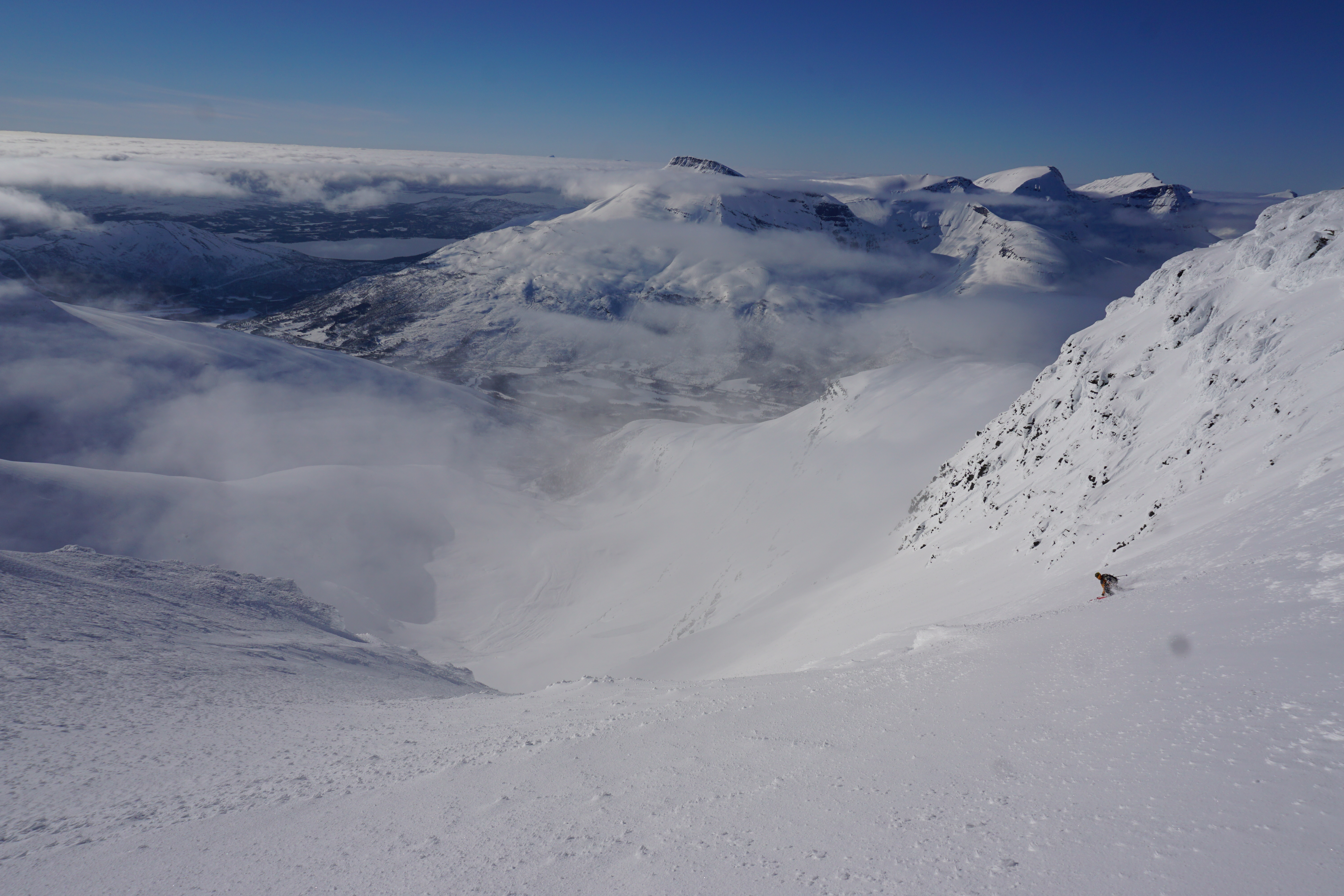 The snow was amazing as we made our way through the cliff bands on stable and smooth powder conditions
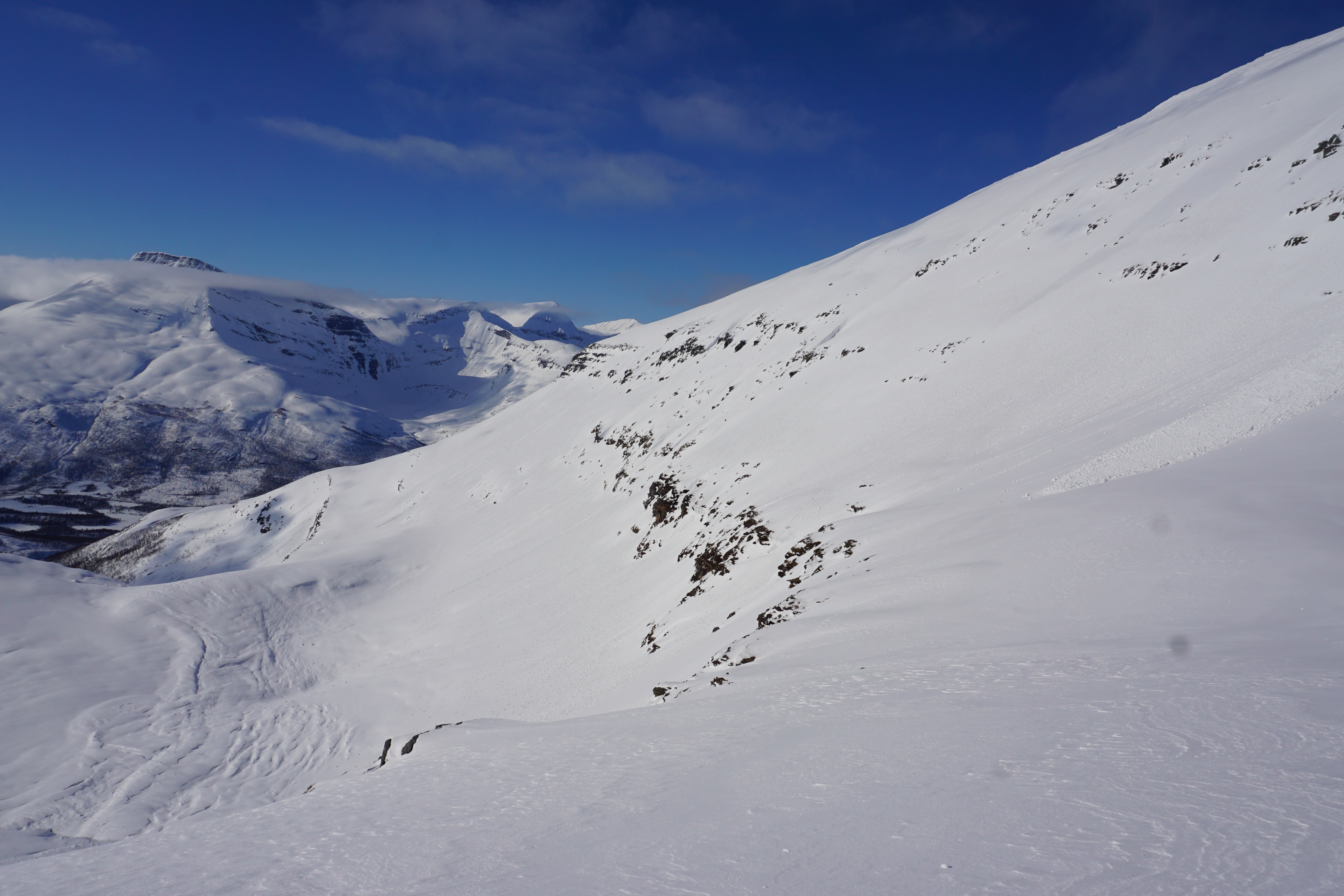
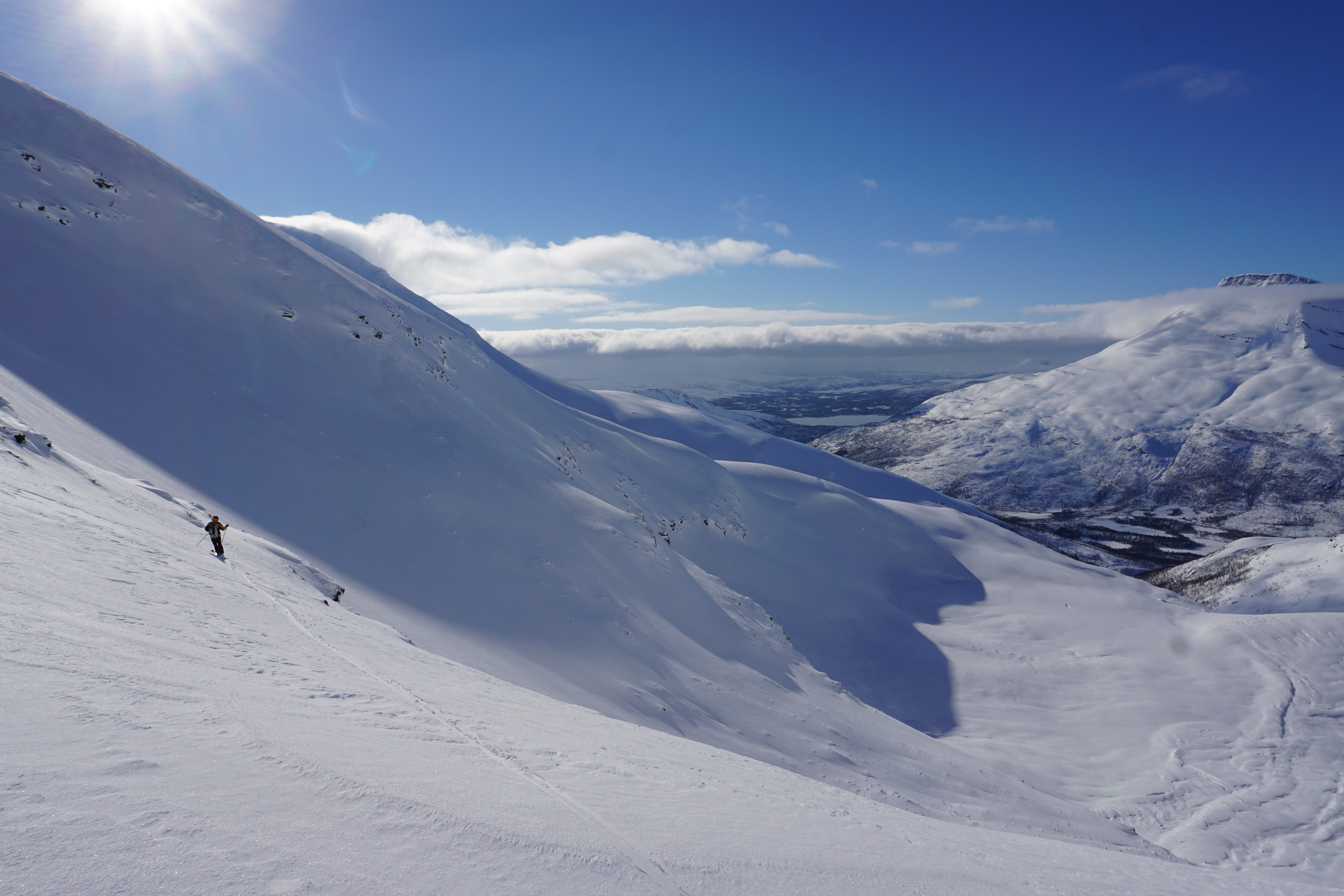
 After riding into the basin we switched over to skinning and wrapped over to the trees above the hut and descended down to the XX trail.