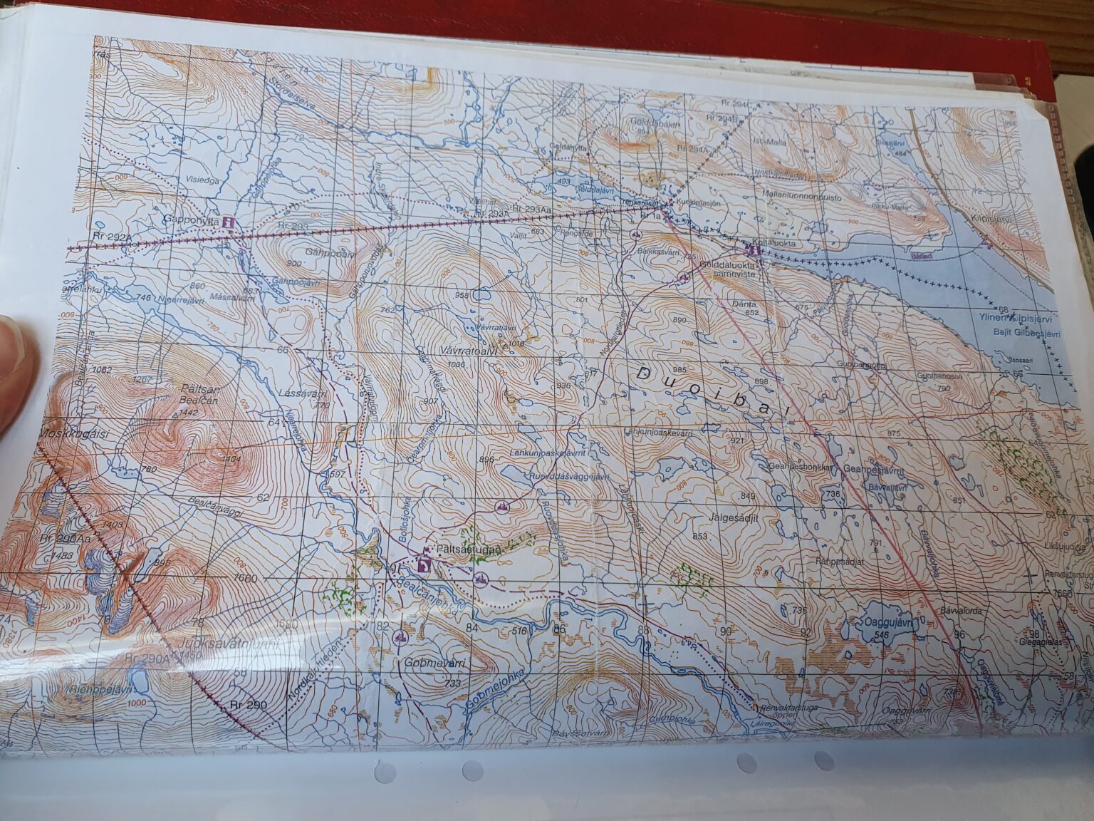
Ski traversing from Tamokdalen to Kilpisjarvi was an idea I had been thinking about for years. Looking at the map there were numerous options for routes back to Finland with most of them being straight forward through valleys. While being somewhat easy I was looking for a bit more challenging of a route. Looking though maps I came up with a route that would allow me to explore new mountains but I would need a good weather window to even attempt it.
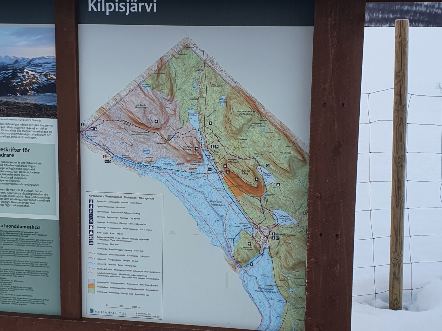
Tamokdalen to Kilpisjarvi
I had decided earlier in the season that I would leave Mid May andI was expected that the weather wouldn’t cooperate with a four day traverse as it had been cloudy non stop for almost a month. Finally a few days before my departure the forecast called for a clear skies for numerous days, this was the window I had hoped for.
Going solo I needed to be self sufficient so I crammed everything I needed into a 50 liter backpack and hitched a snowmobile ride into the Tamokhuset upper bowl from Jeppe and we climbed to the high ridge waiting for the weather to finally clear out.
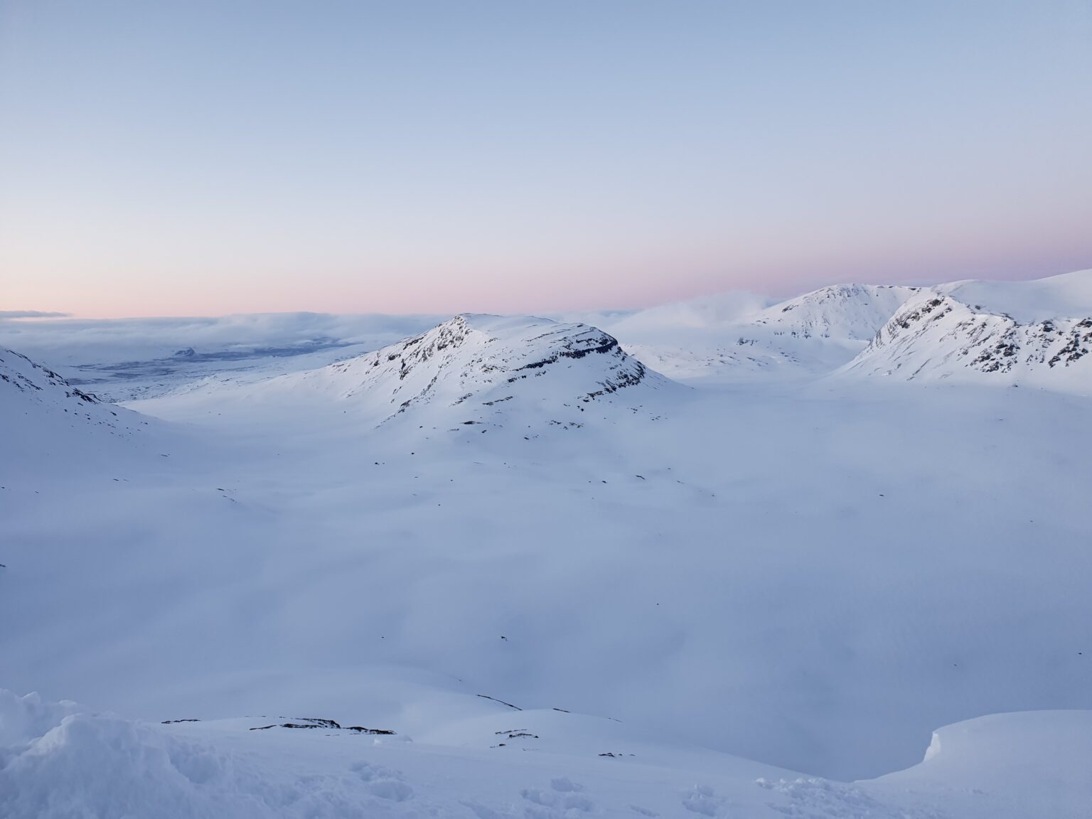
While climbing we could see the faint outline of mountains in the distance but once on top we had to wait so we could actually see the terrain.
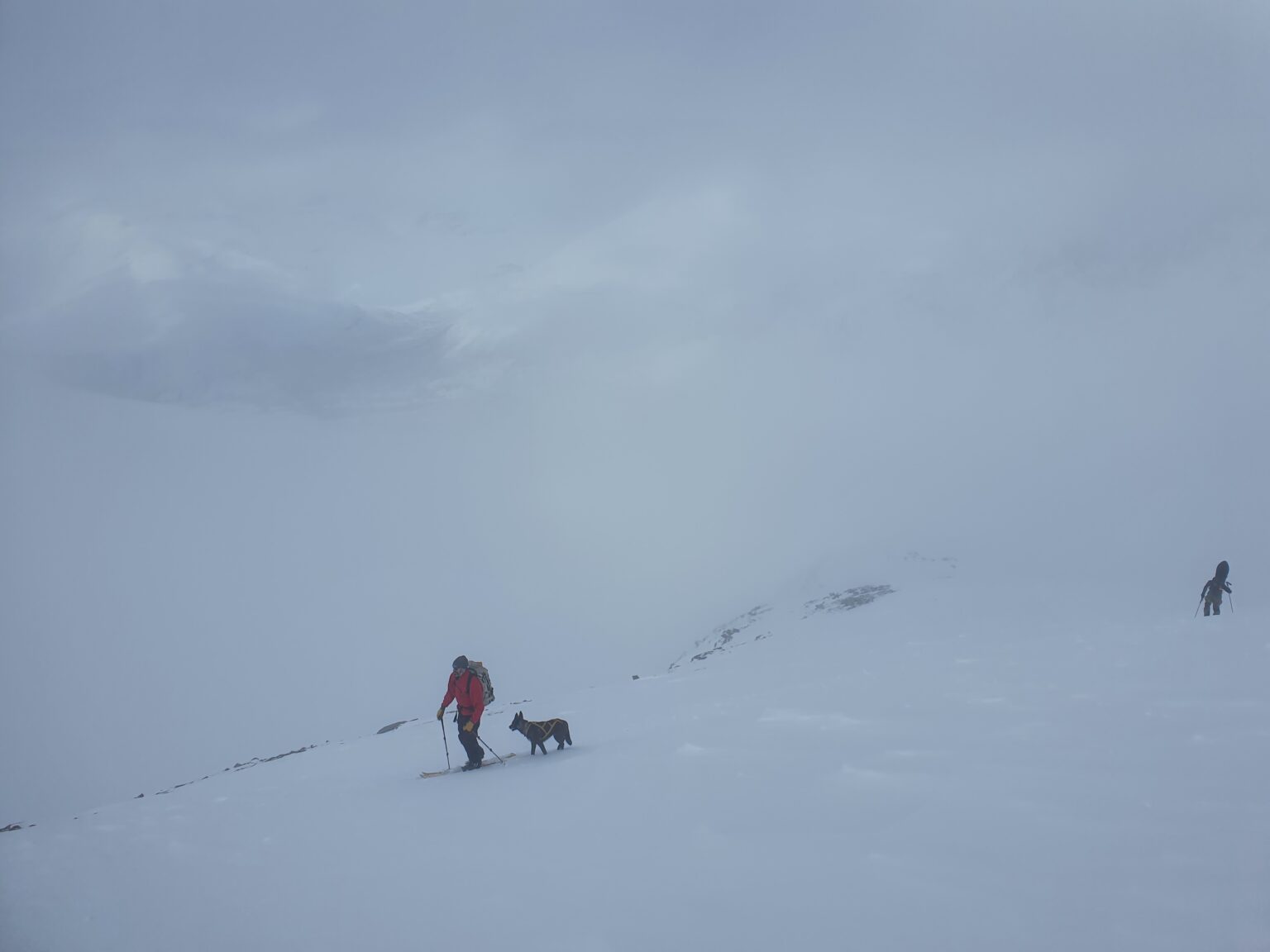
Once we got a small weather window I said goodbye to Jeppe, Saampa and Pets ku and while they dropped down the North face I made my way into the South bowl. I was a bit nervous as I had seen that the route goes before but this would be my first time actually going down it.
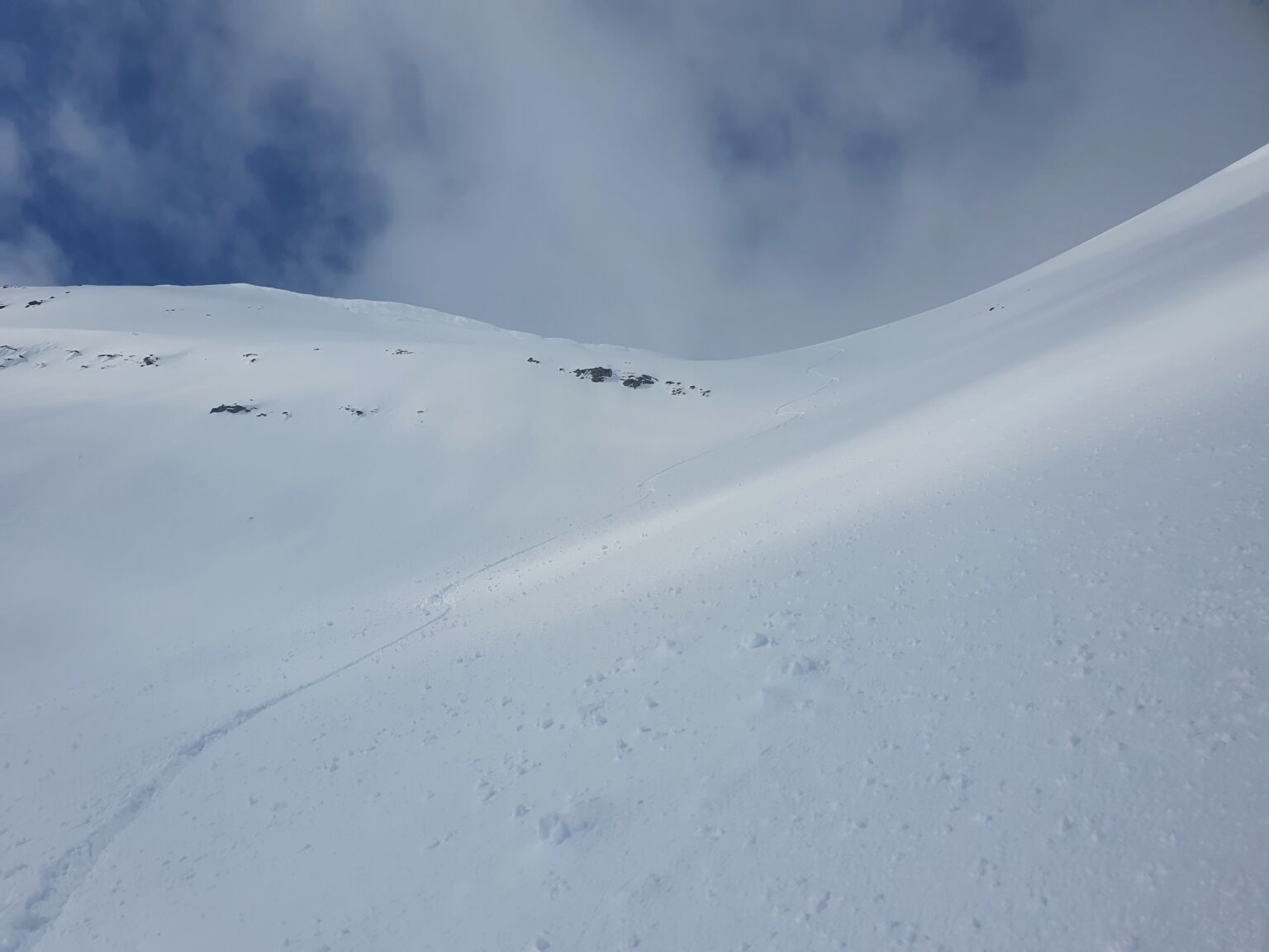
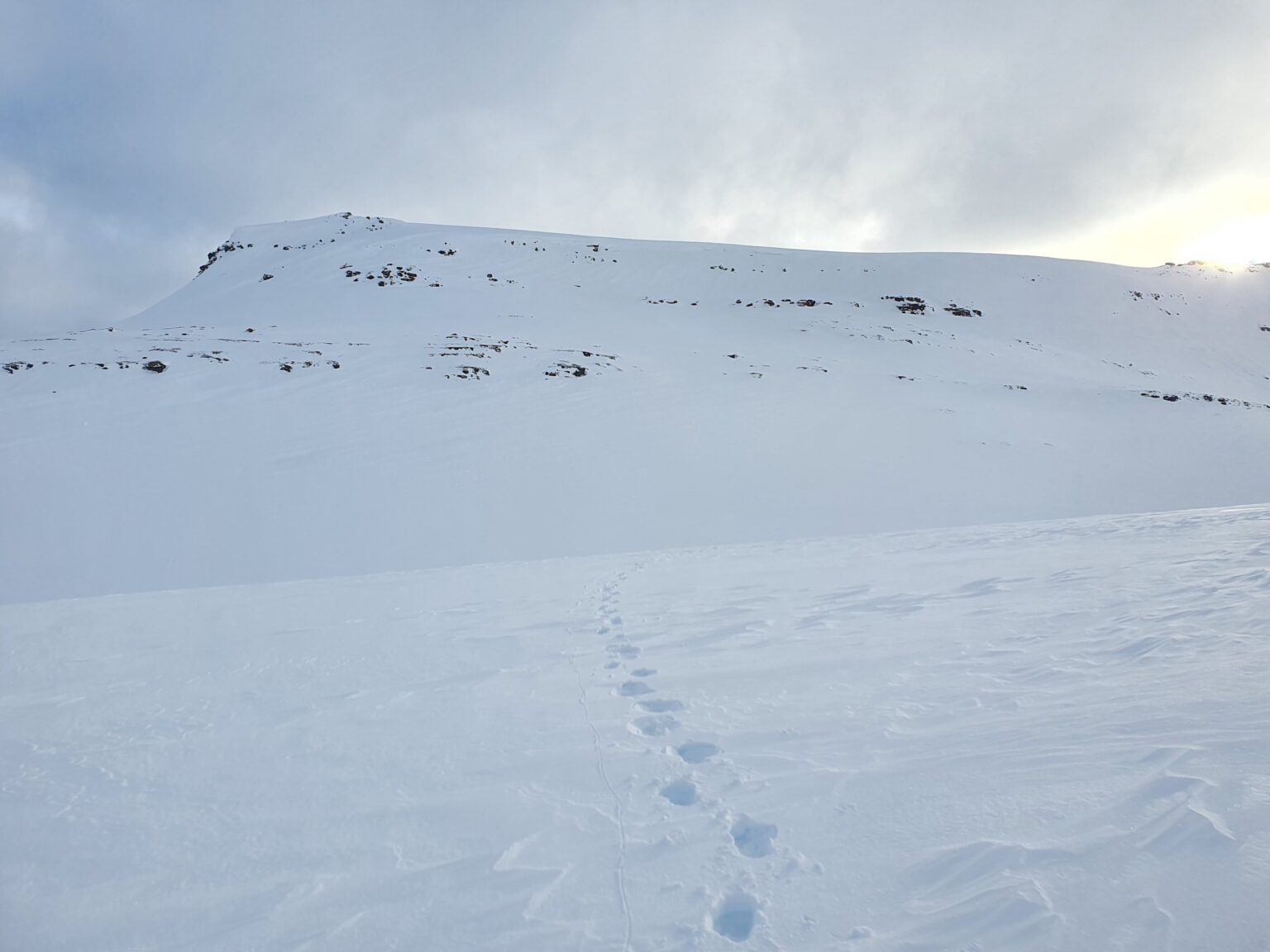
Being South facing and mid day the sun had warmed up the snow but it was still powder and not sluffing with every turn. After riding down into the valley I was happy to get past the first crux of the trip and started climbing up the North slopes of Brattlifjellet
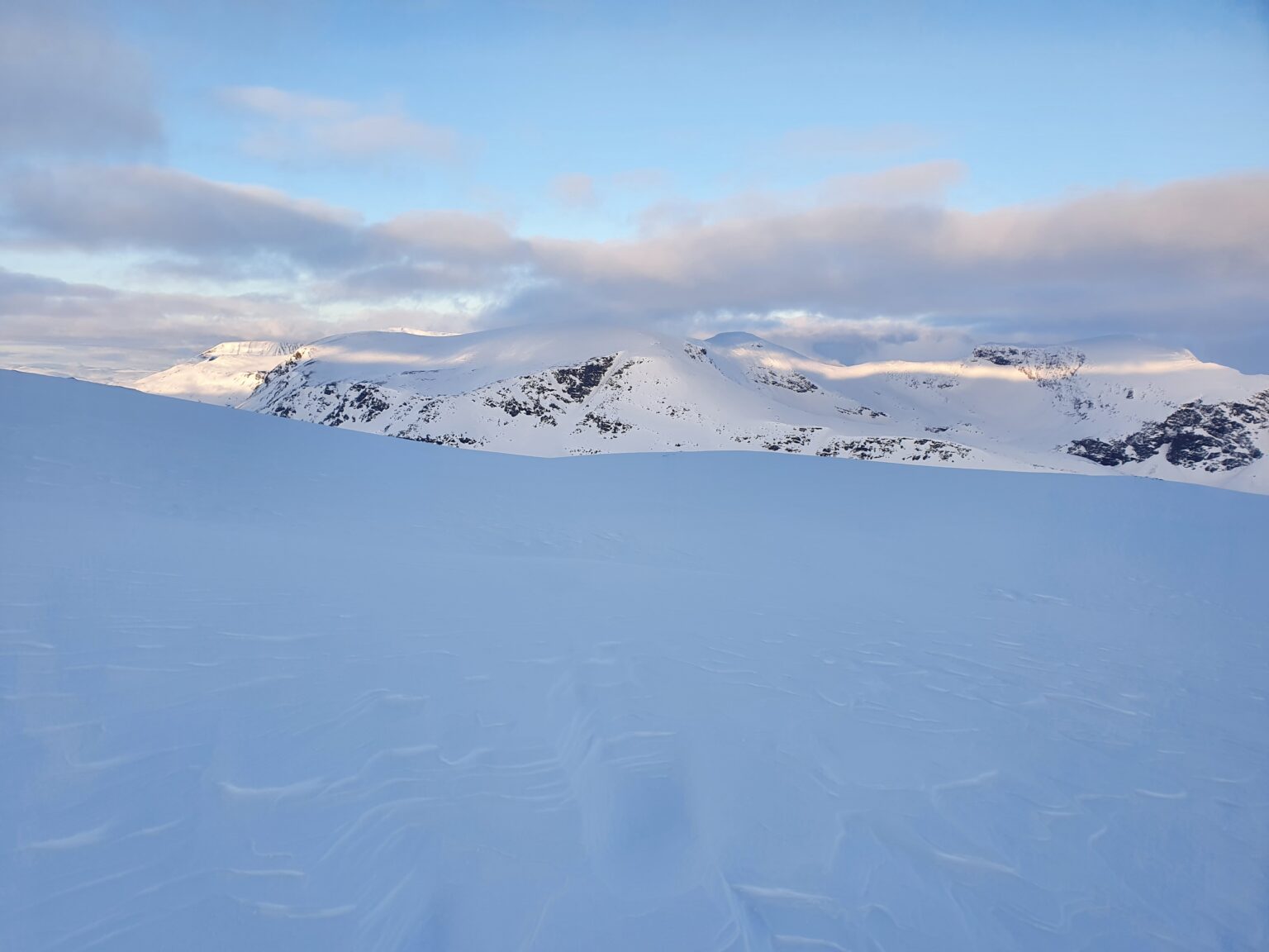
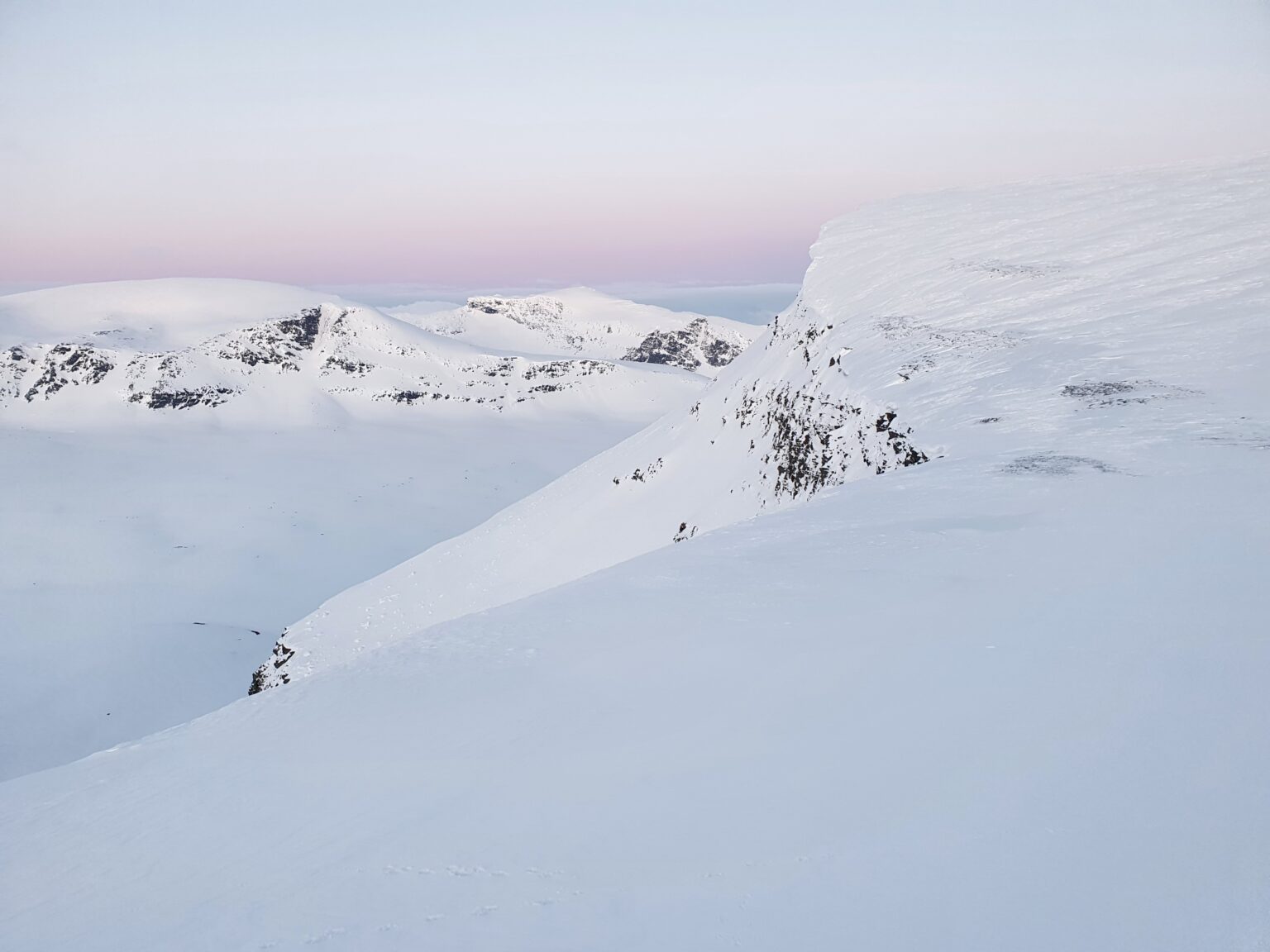
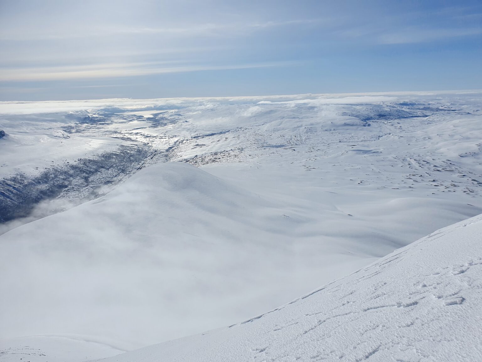
Making my way to the top plateau of Brattlifjellet I had a clear view of my previous line but the area was still somewhat in the clouds.
The forecast had called for clearing a few hours earlier but there was still a bunch of clouds. Being solo I was a bit nervous that I would be in a whiteout but I was still close enough to easily return to Tamokhuset if there was a problem.
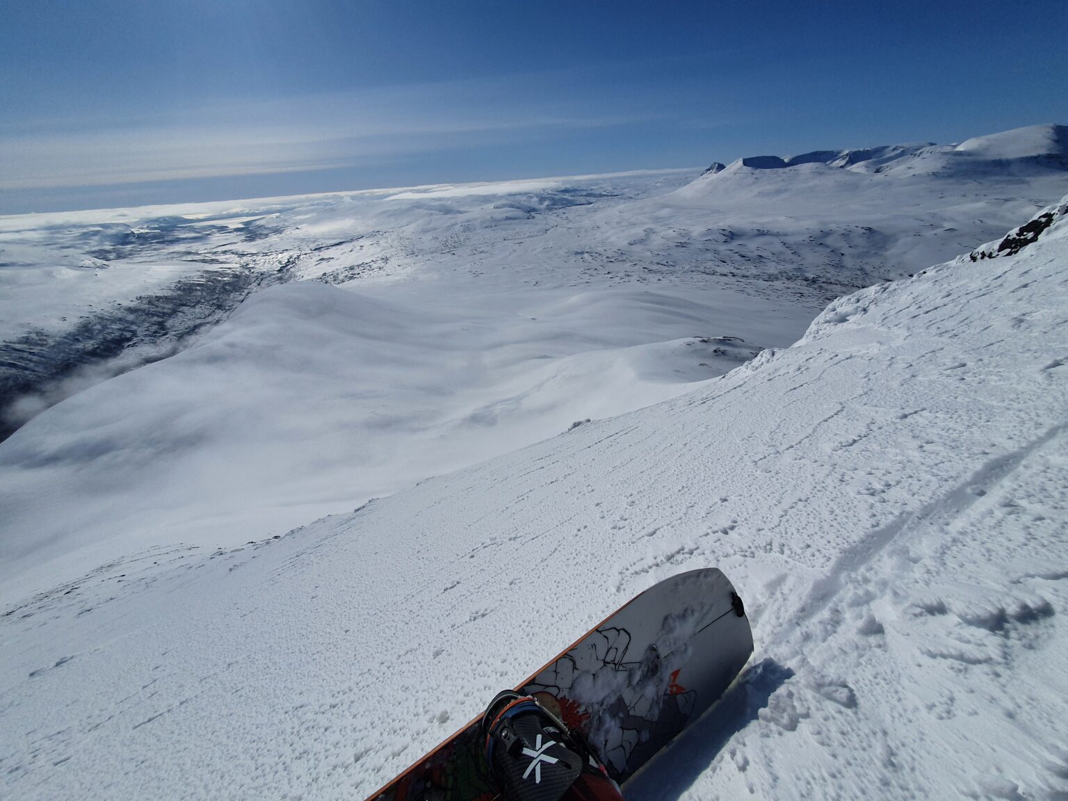
Once on the top of Brattlifjellet I transitioned over to snowboarding and planned to ride the NE bowl but right as I was ready to drop in some clouds came in obstructing my view to that side. Looking at my watch I had a long distance ahead of me and decided to ride the East ridge that was still clearly visible.
The East ridge was a safe route down but horrible riding as I made my way between rocks and wind sculpted slopes finally arriving at a North/South Col.
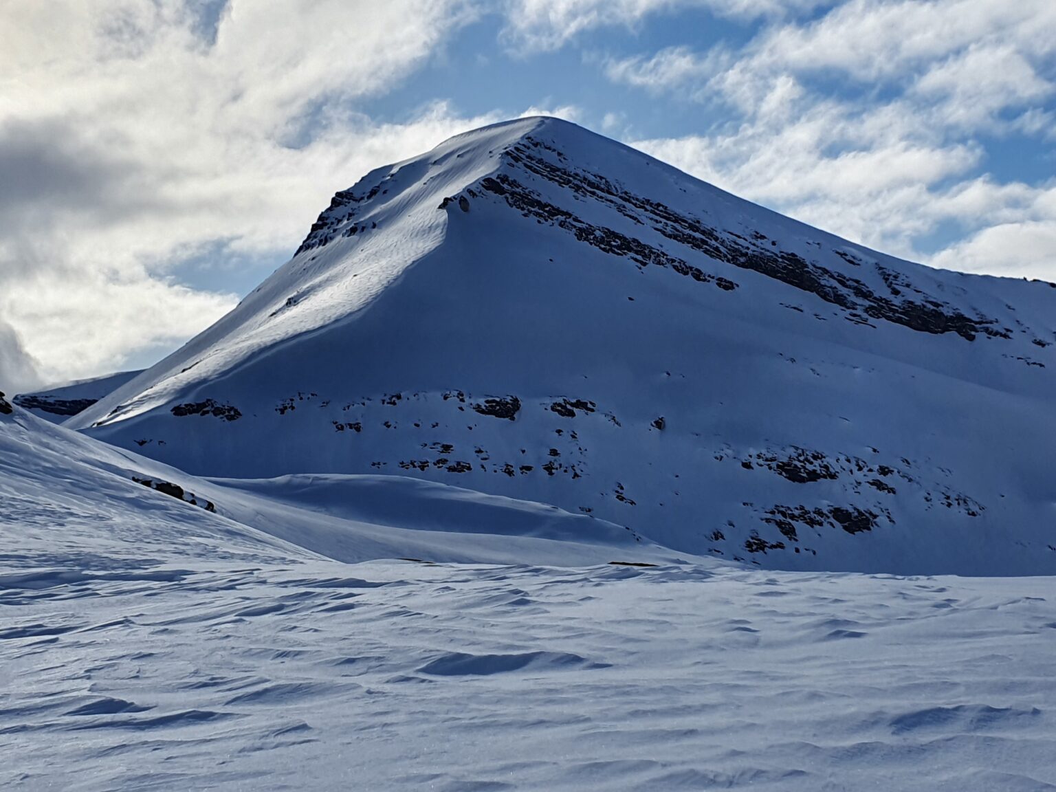
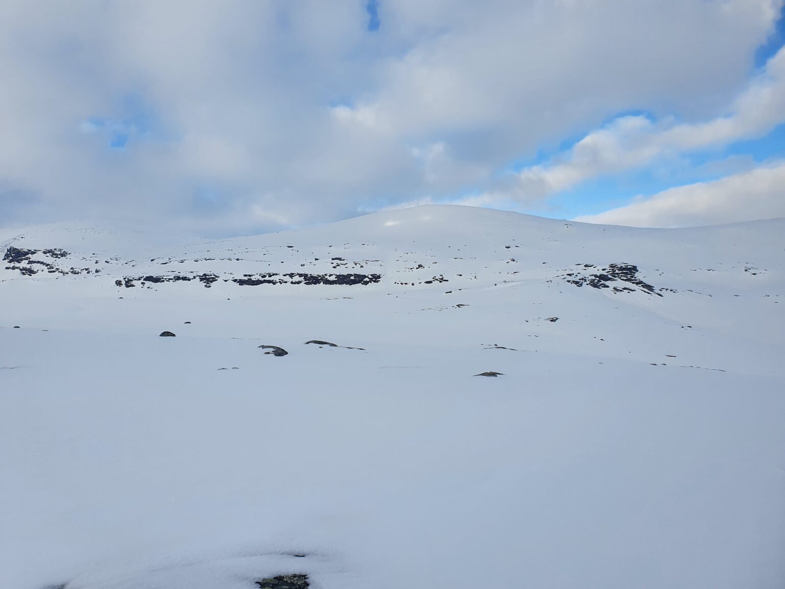
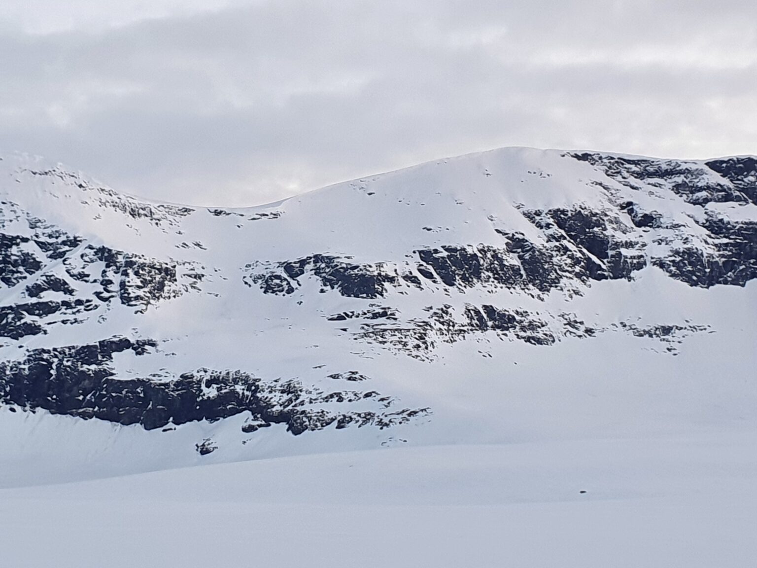
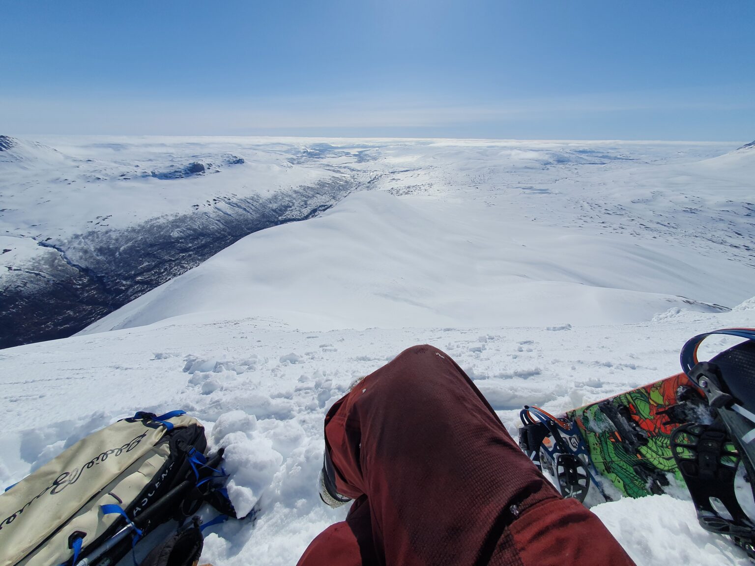
Wanting to stay in the high country I climbed up the North slopes of Sohtungáisi where i intended to descend the south face.
Once arriving on the ridge I could see Gállágáibi in the distance. This would be my next climb but the a cornice stretched the ridge as far as I could see. I needed to find a way down and decided to traverse as far west as possible as it seemed there would possibly be a way through.
Once on the West point I was happy to find a way through and descended to a small flat before bootpacking a few minutes and returning to riding to the valley bellow.
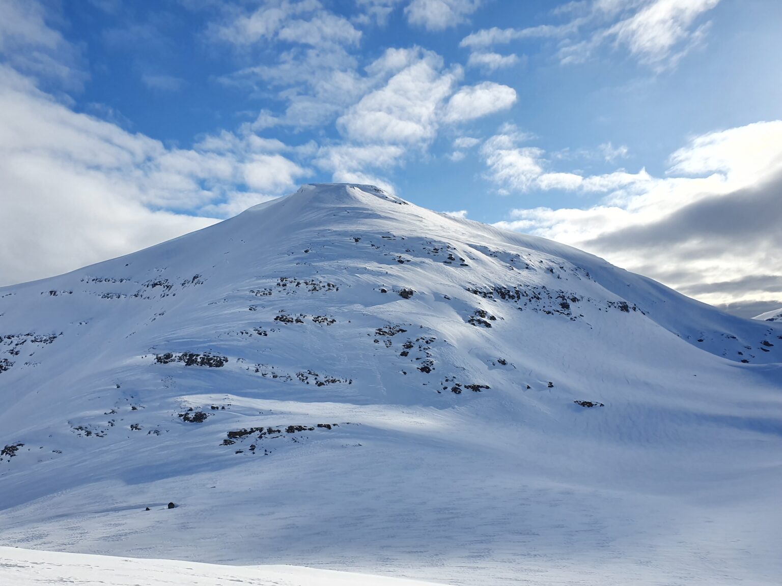
Looking towards Gállágáibi I came up with an ascent plan on the right hand side as it seemed to have the mellowest slopes. My intention was to climb up this and ride down a line I scouted via a map of the backside.
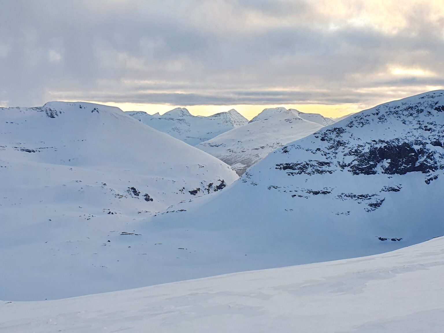
Climbing up I could see through a low col into the Finndalen Valley and was surprised to see some nice looking lines that I put on the mental list of potential tours in the future.
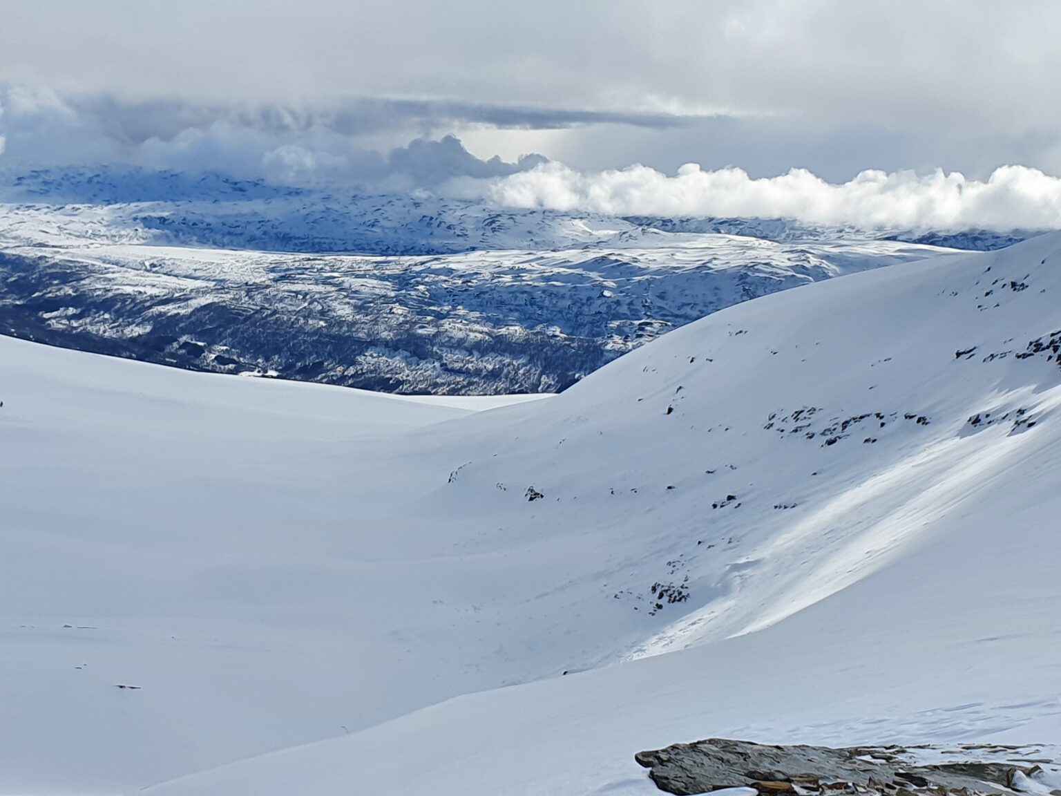
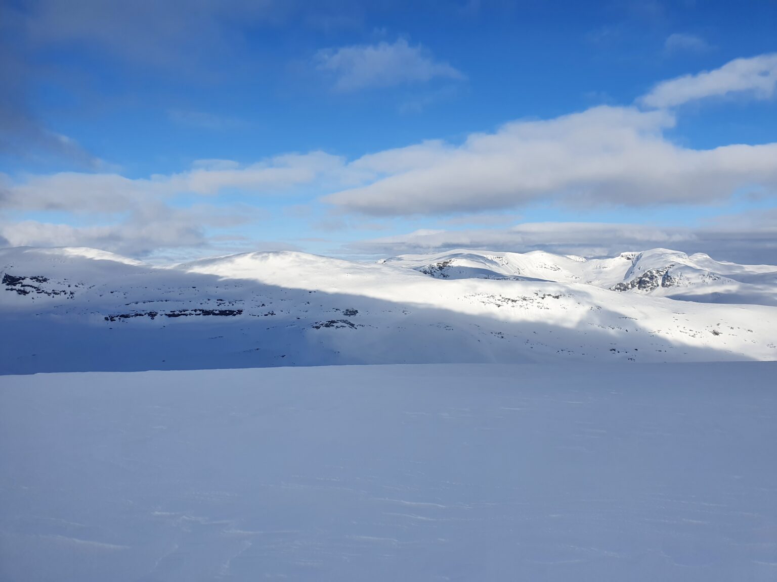
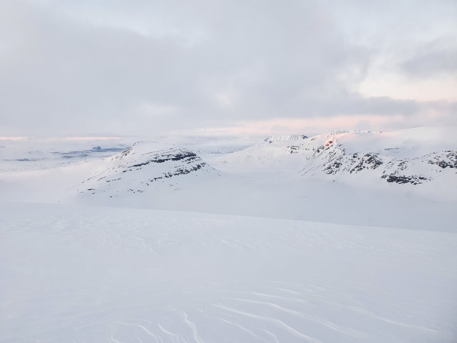
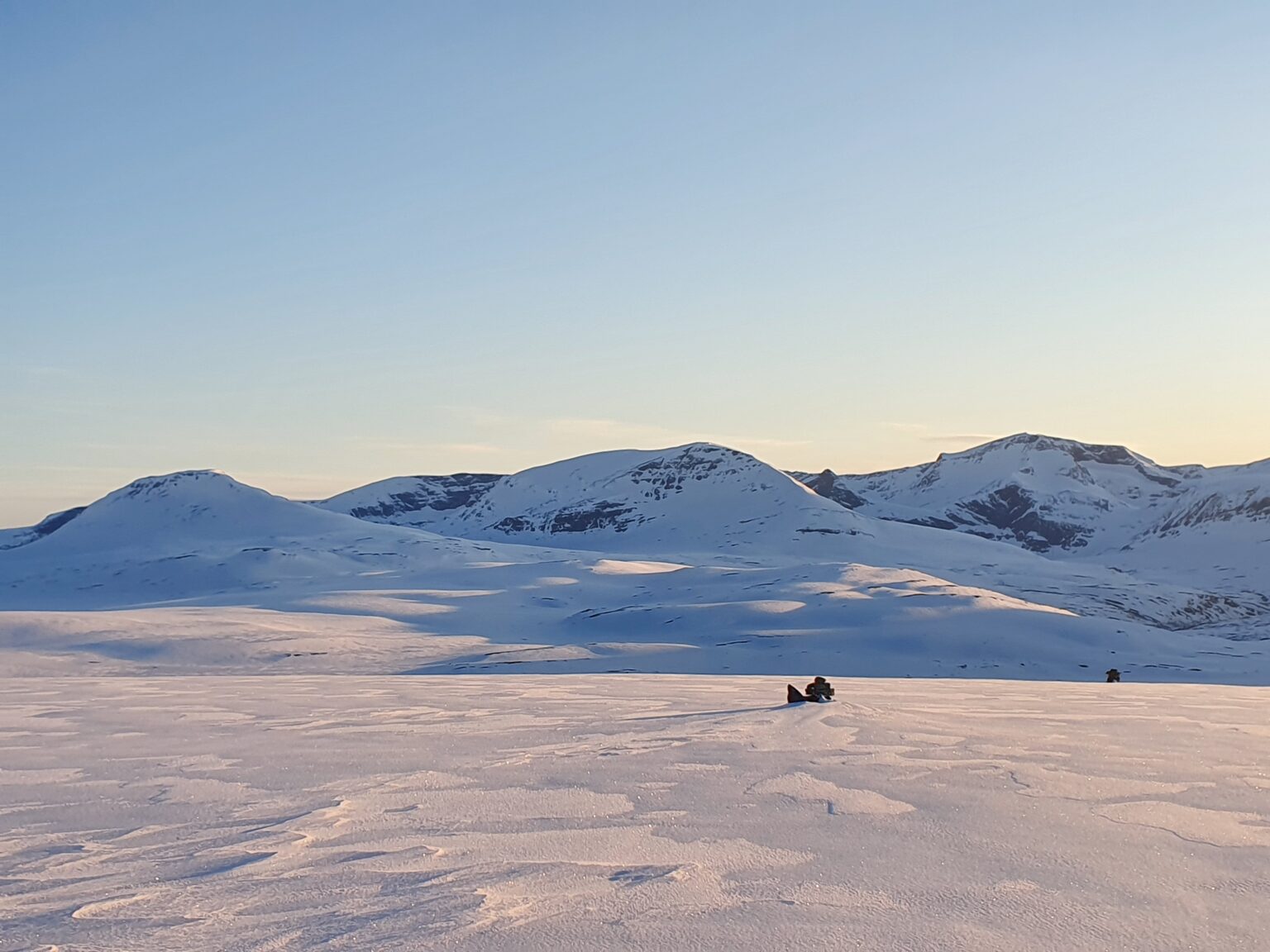
By now I could see the mountains to the North and where I had come from. Making out Blåbærfjellet in the distance I had already covered quite a bit of ground.
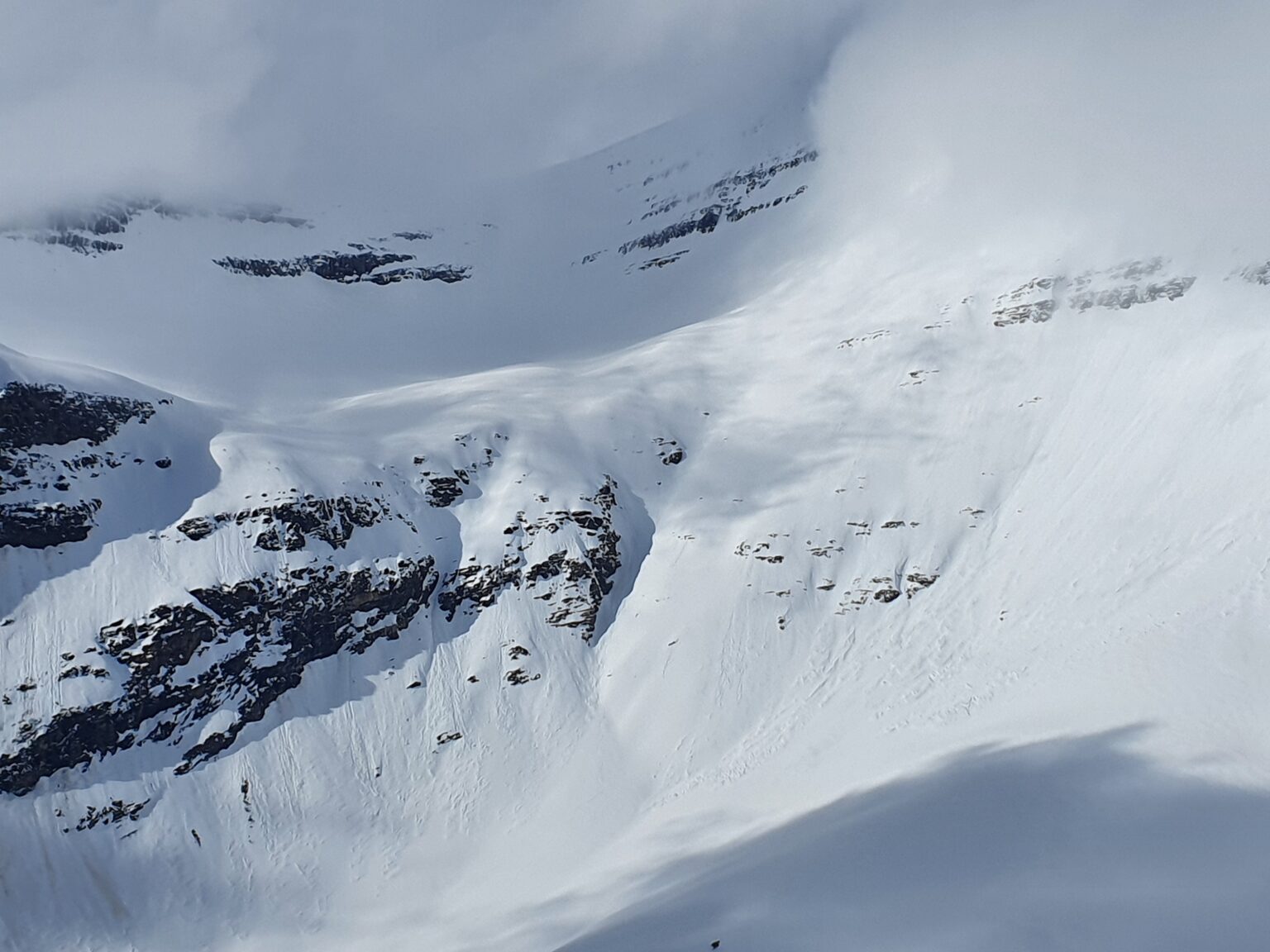
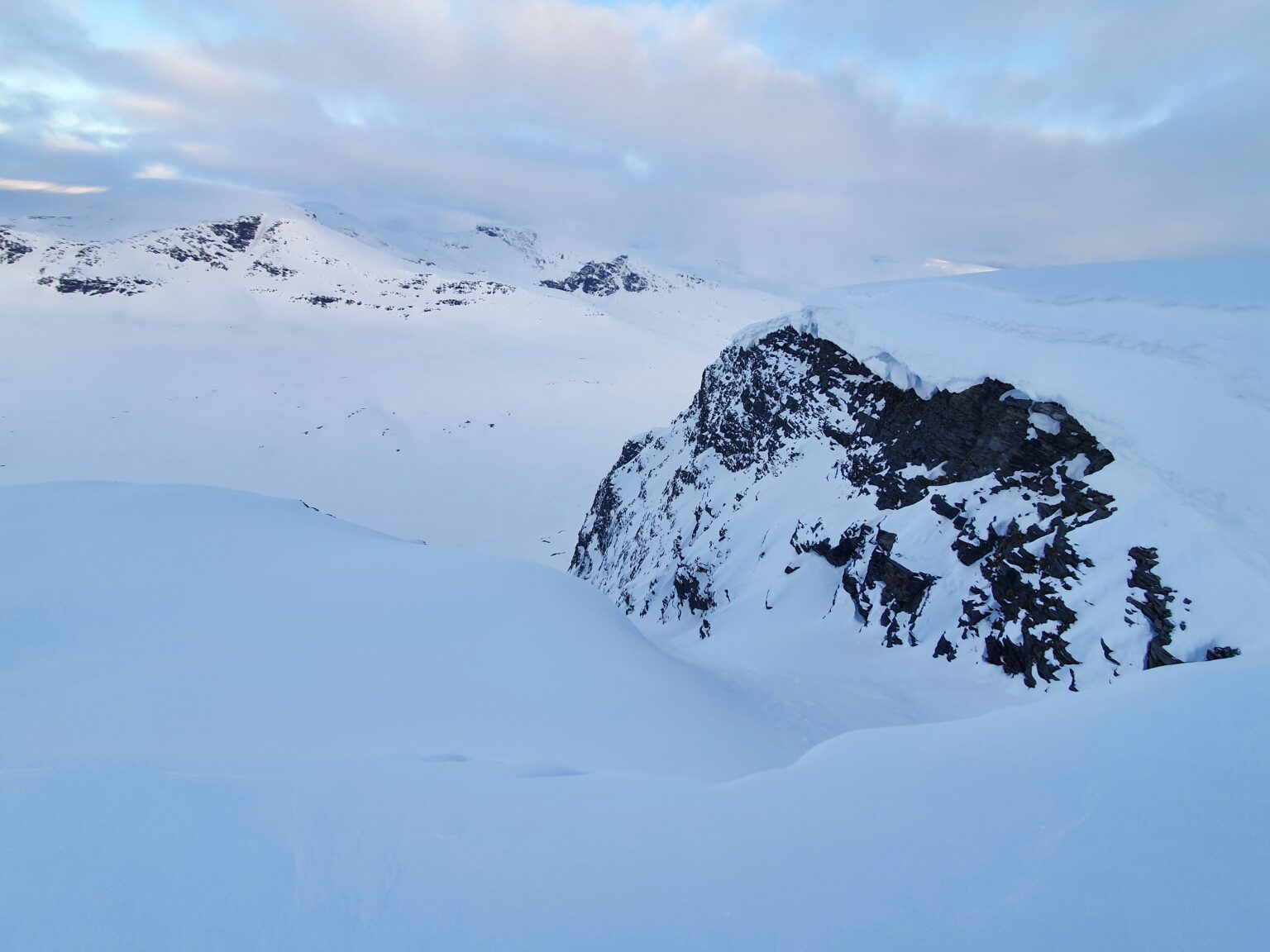
Once on the upper ridge of Gállágáibi I started moving north being careful to not get too close to the East slopes as according to the map there were huge cliffs below me.
After a bit of searching I finally spotted the couloir I was looking for that would get me into the valley below. Before just dropping in I decided to switch over to crampons and walk down into the slopes so I could feel the snow. Once in the actual line there was few cms of powder so I walked back up to my gear and strapped in.
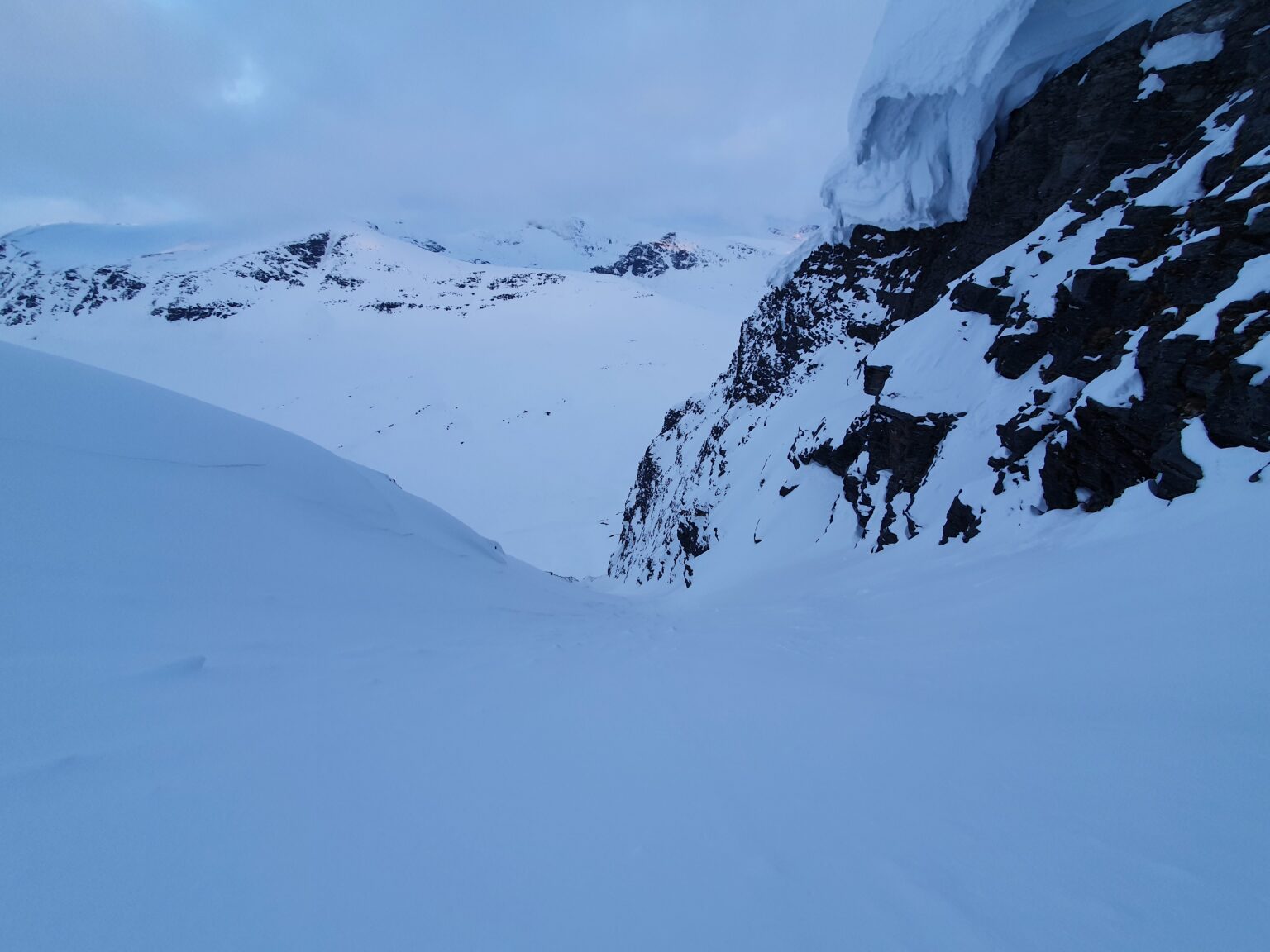
Once in the gut of the line it quickly turned to ice and from what I could see there was rocks below. Knowing that if I slipped I wouldn’t stop sliding and not knowing if the line went I decided to retreat. I carefully pulled out my shovel and dug in a bench before transitioning back to crampons and trying to find an alternate route down.
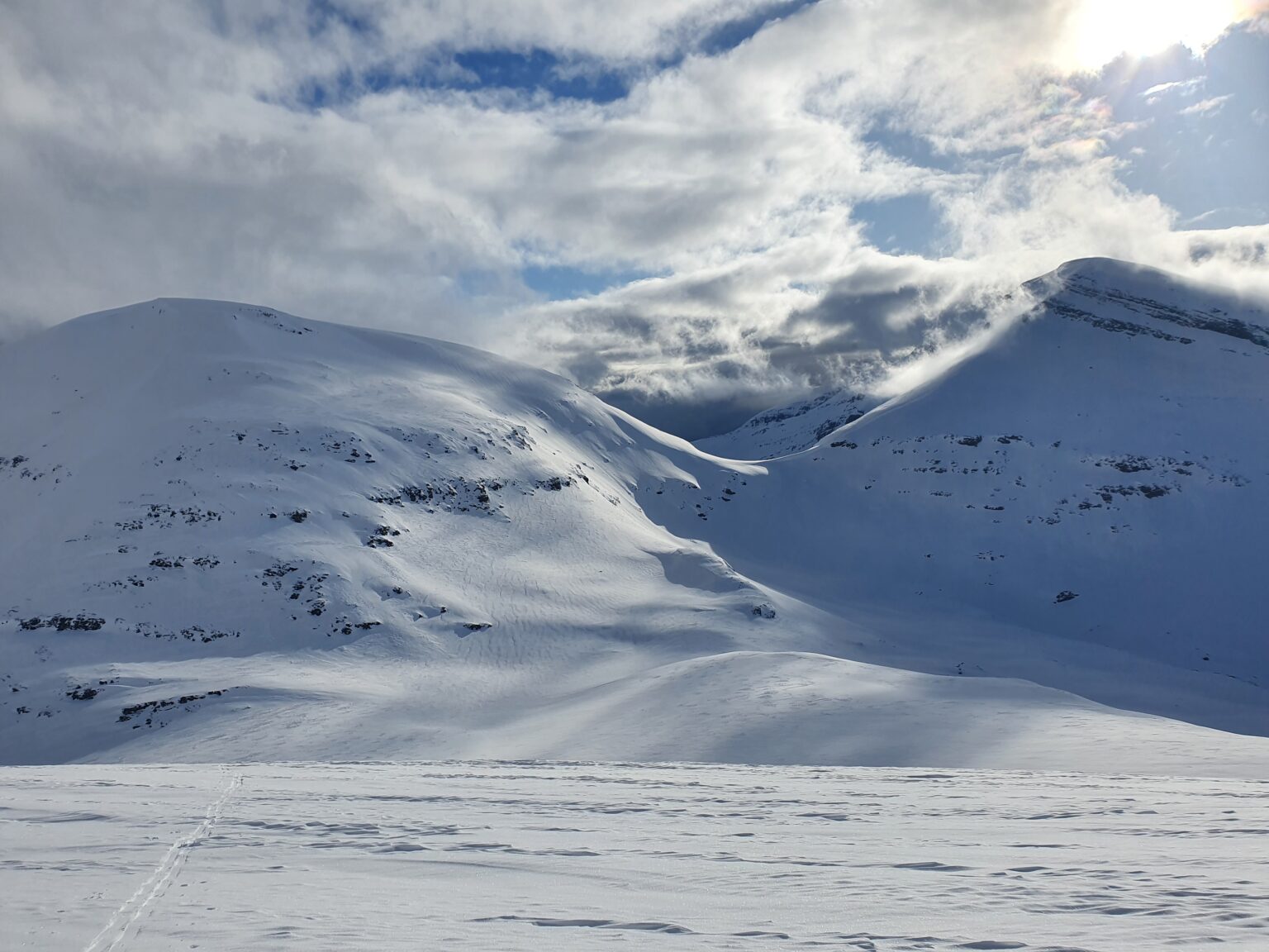
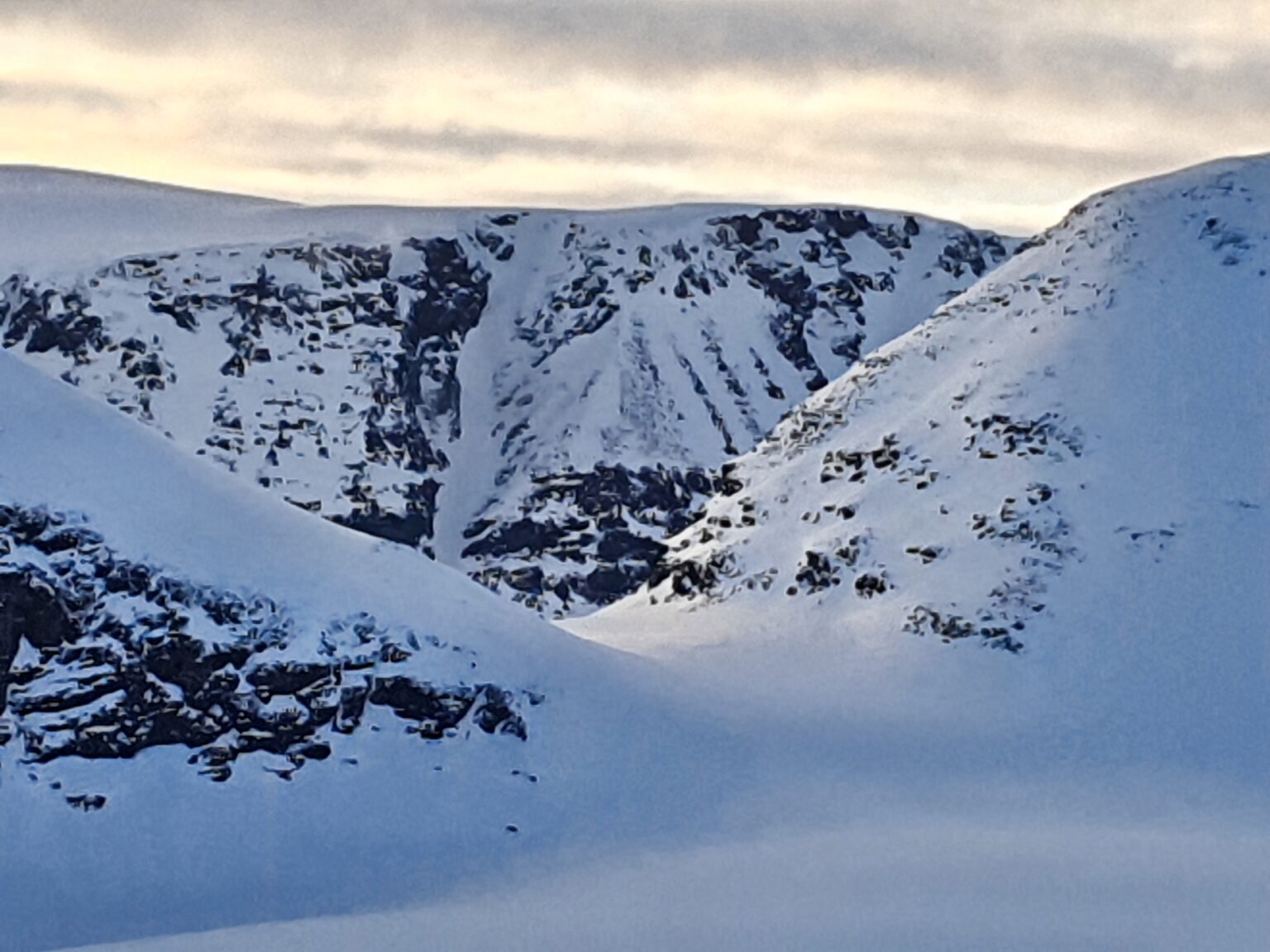
Back on the ridge I started moving North to another area that could possibly go. By now I was a bit frustrated as I could see where I needed to go below but I couldn’t find access.
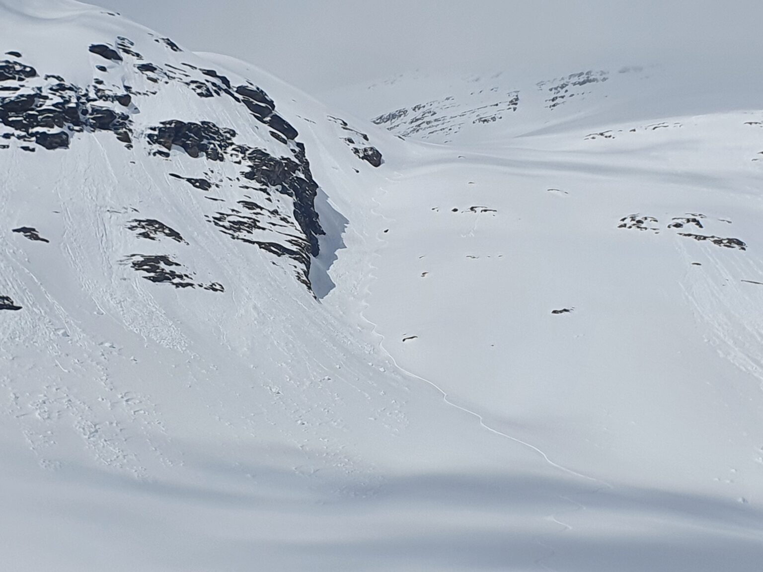
Arriving at my plan B spot it had a cornice that wrapped around the entire slope with a 10 meter cliff below it. This was my only other option if I didn’t want to do an additional 10 kilometers of wrapping around Gállágáibi. I needed to find a way through.
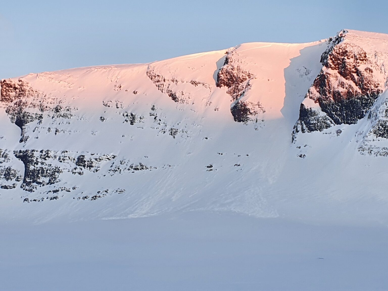
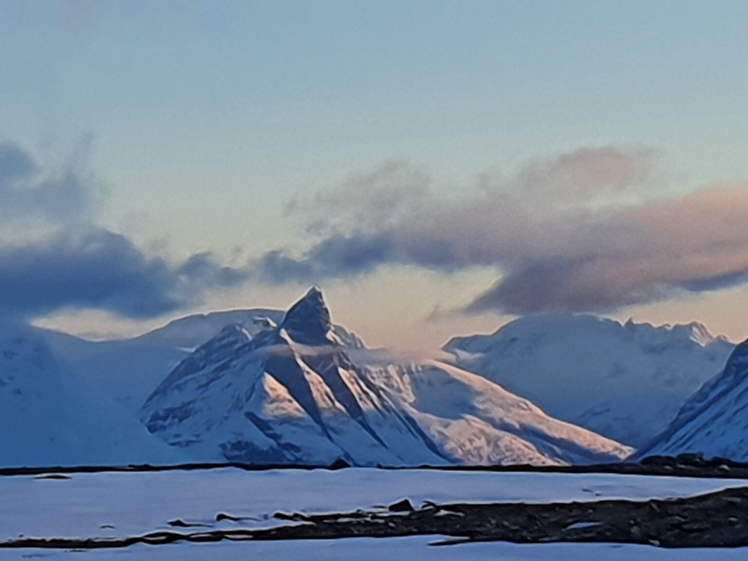
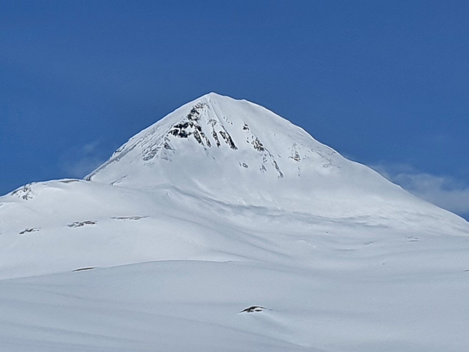
After checking out the slope a bit to the North I found a small spot where there wasn’t a cornice and traversed into the slope before riding down.
In the photo below I rode to the right of the rocks at the col before traversing into the gut and riding all the way to the valley.
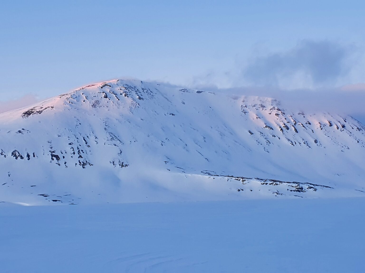
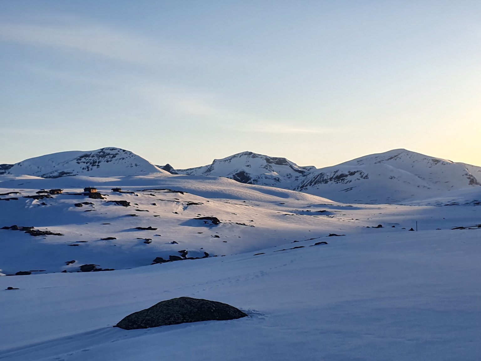
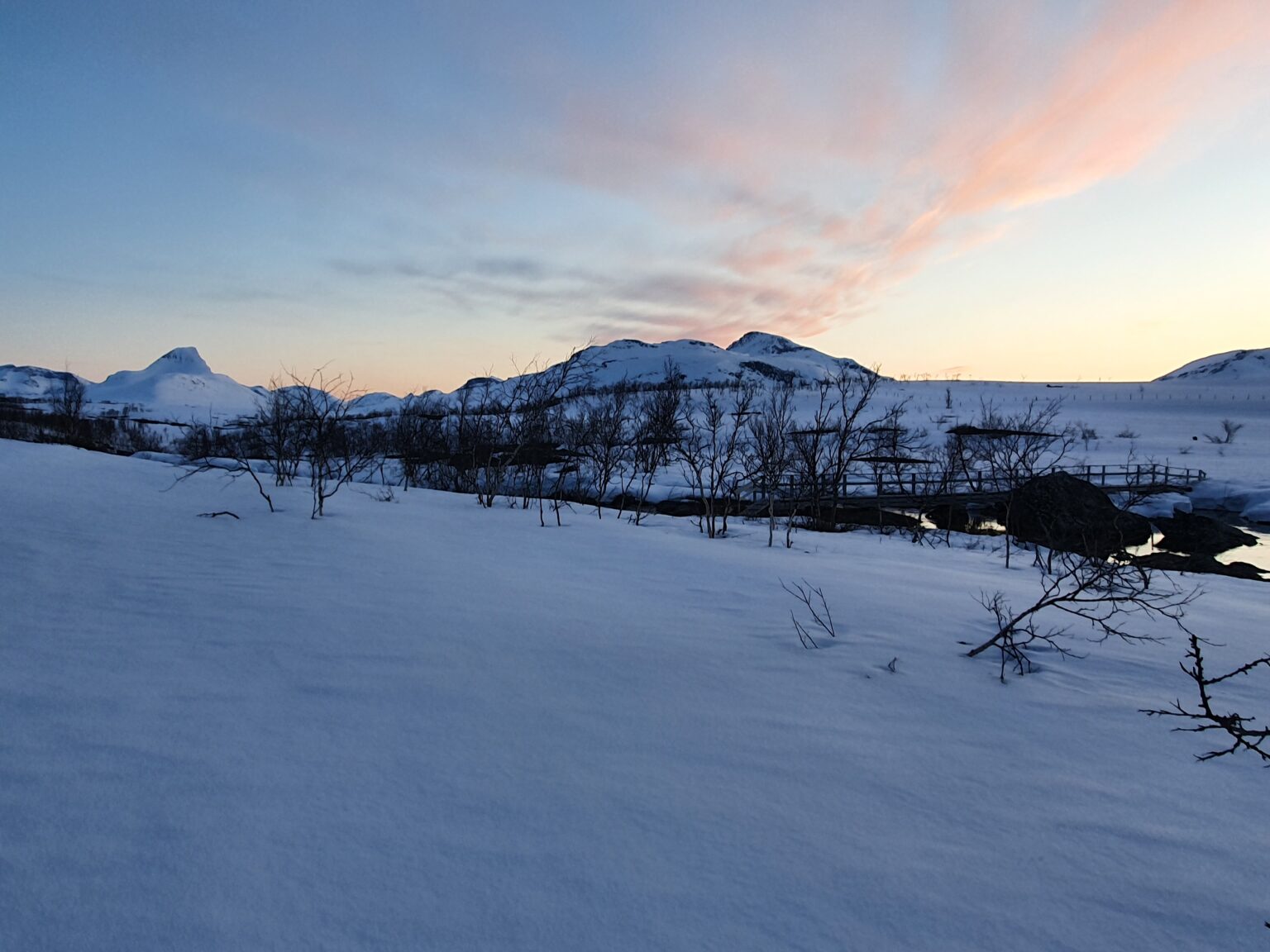
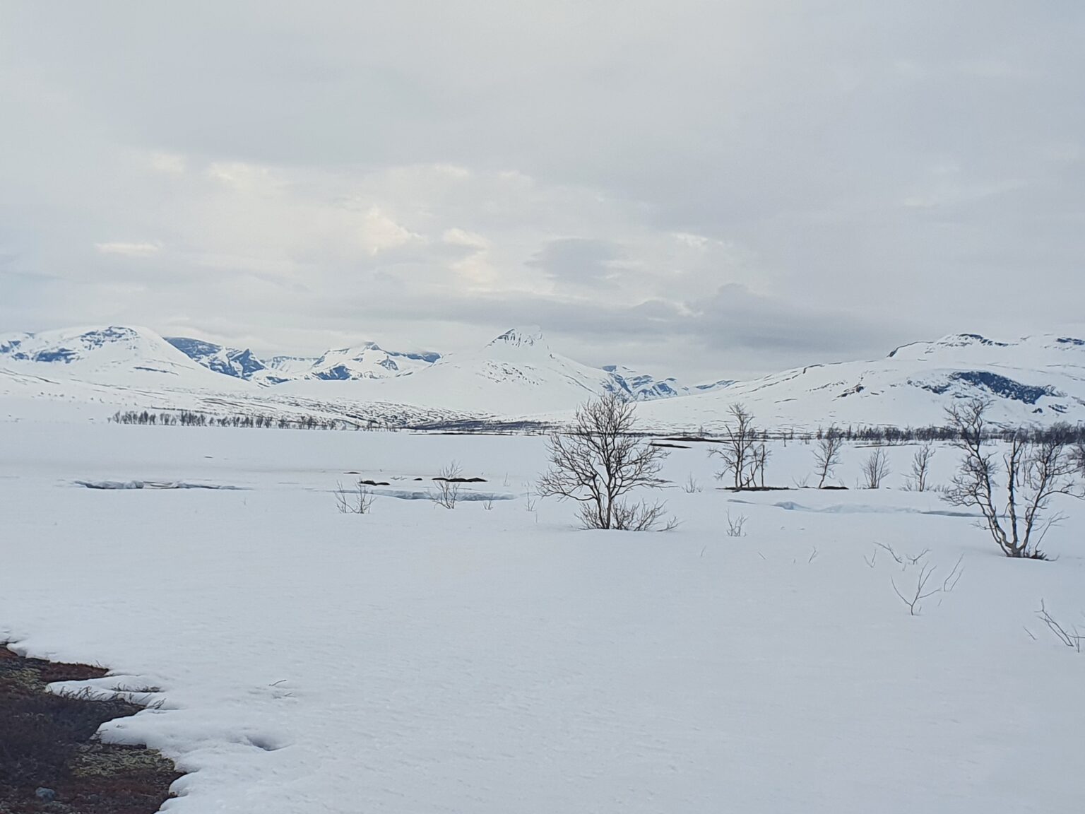
The next few hours was a blur as I skinned on flat terrain between the Swedish and Norwegian Border. By now the sun had started to rise and the surrounding peaks were putting on a light show.
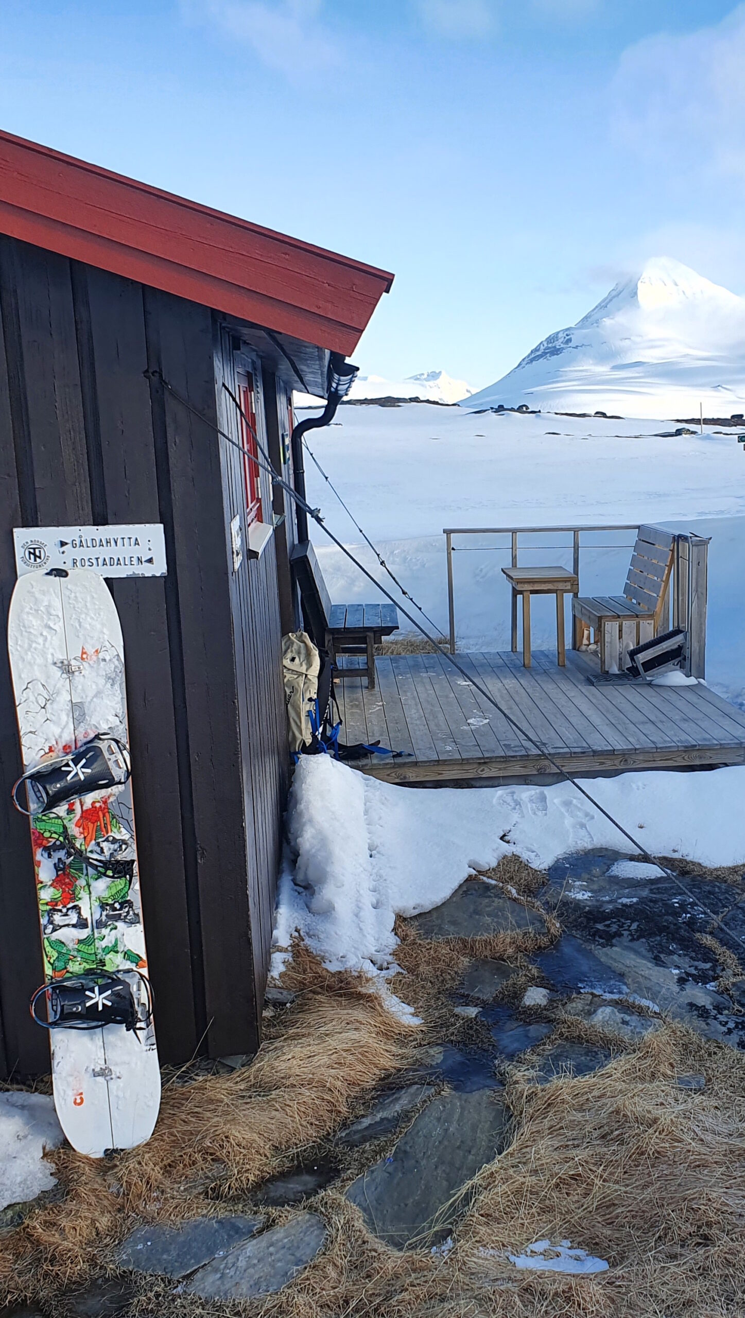
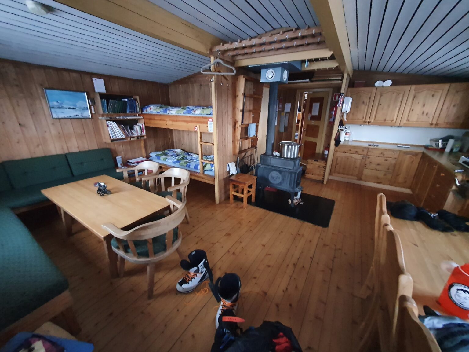
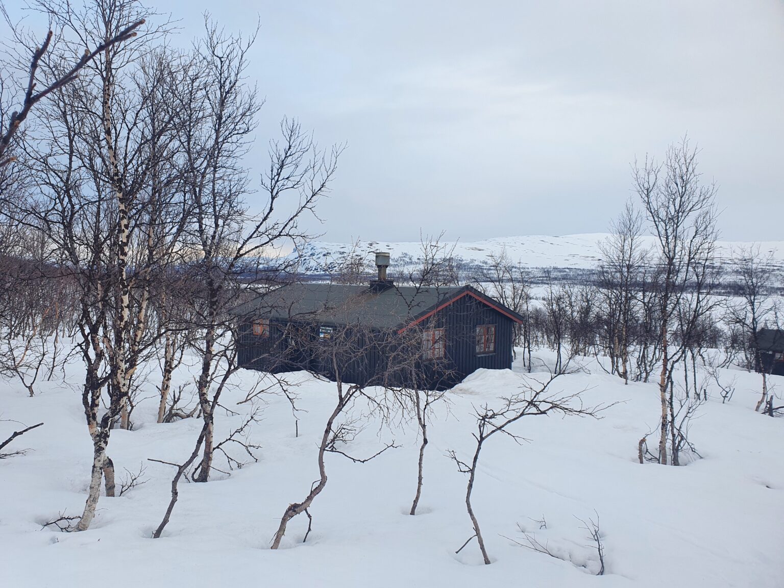
Arriving at Gappohytta I took off my wet snowboarding boots and took a long break. In the distance I could make out Bárrás Mountain only a few kilometers away but it was in the clouds. After about 2 hours of resting I decided that this was my only opertunity to ride it so I got my gear together and started heading towards the mountain.
Climbing up the Southeast ridge the clouds finally burned off as I made my way to the summit. By now it was 9 a.m. and the SE face had been in the sun for a few hours.
Making a few turns the snow was still really firm and not wanting to ride steep ice I decided that I would have to wait a bit longer.
Building a bench I sat there for an hour waiting for the snow to soften up right above the entrance to the chute. Every few minutes I would throw a rock onto the slopes below me and once I started seeing them making a dent in the snowpack I decided it was time to snowboard.
Riding down the main chute to the right it was perfect corn all the way to the valley below. By now I had been awake more then 24 hours and ski touring for around 16 hours. I was tired and decided to head back to Gappohytta to get some sleep before moving on.
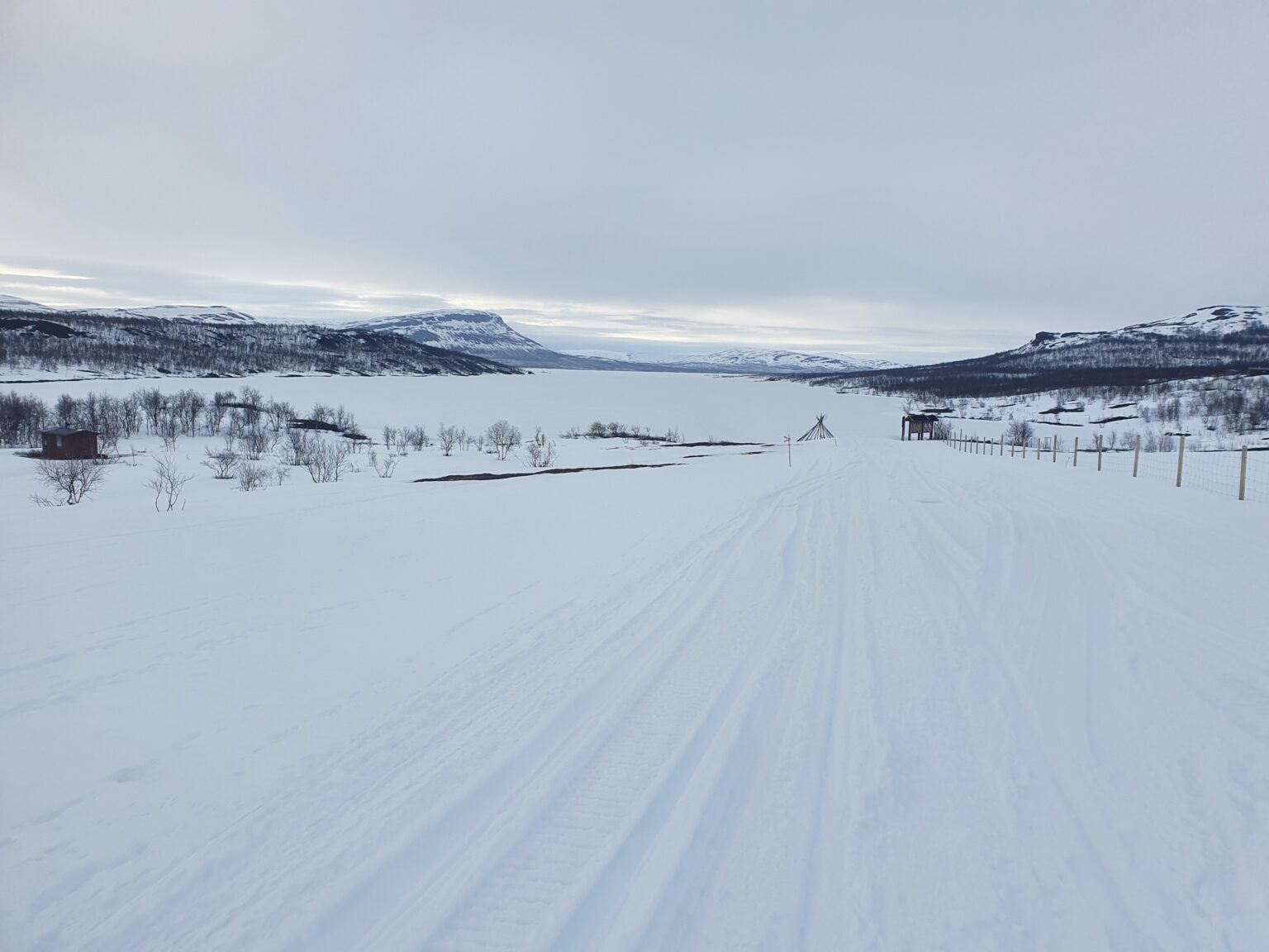
Studying the map I was out of the mountains for the rest of the trip and it was going to be a long and flat slog back to Finland. Instead of doing it in a long single push I decided to break it up into two days allowing my feet to get some rest.
Waking up around 10 p.m. I left Gappohytta as the sun was setting. Being the coldest time of the day it was my best chance for touring on firm snow compared to sun warmed slush.
Instead of following the standard hiking trail I decided to climb up a small hill and ride down to the trail. It would shave off a kilometer as well as getting some riding in.
Fortunately the line worked out well and before long I was back into the valley and following a snowmobile track towards the river below where there was a bridge to cross it.
Once again I decided to ditch the trail and snowboard all the way to the river below before following the shoreline until I reached the bridge. Not wanting wet boots I was happy to easily cross the river before skinning to my next destination Goldahytta.
Arriving to an empty hut around 3 a.m. I took off my snowboard boots and proceeded to melt water for the next few hours before getting some sleep.
Waking up this time around 2 a.m. I started my final slog towards Finland. Luckily I had internet access at the hut and was able to purchase a bus ticket leaving Kilpisjarvi around 1 P.M.
By now I finally started seeing other peoples ski tracks for the first time in the trip. Knowing that they came from Finland I followed the tracks as it had been a warm night and the untracked snow was slush.
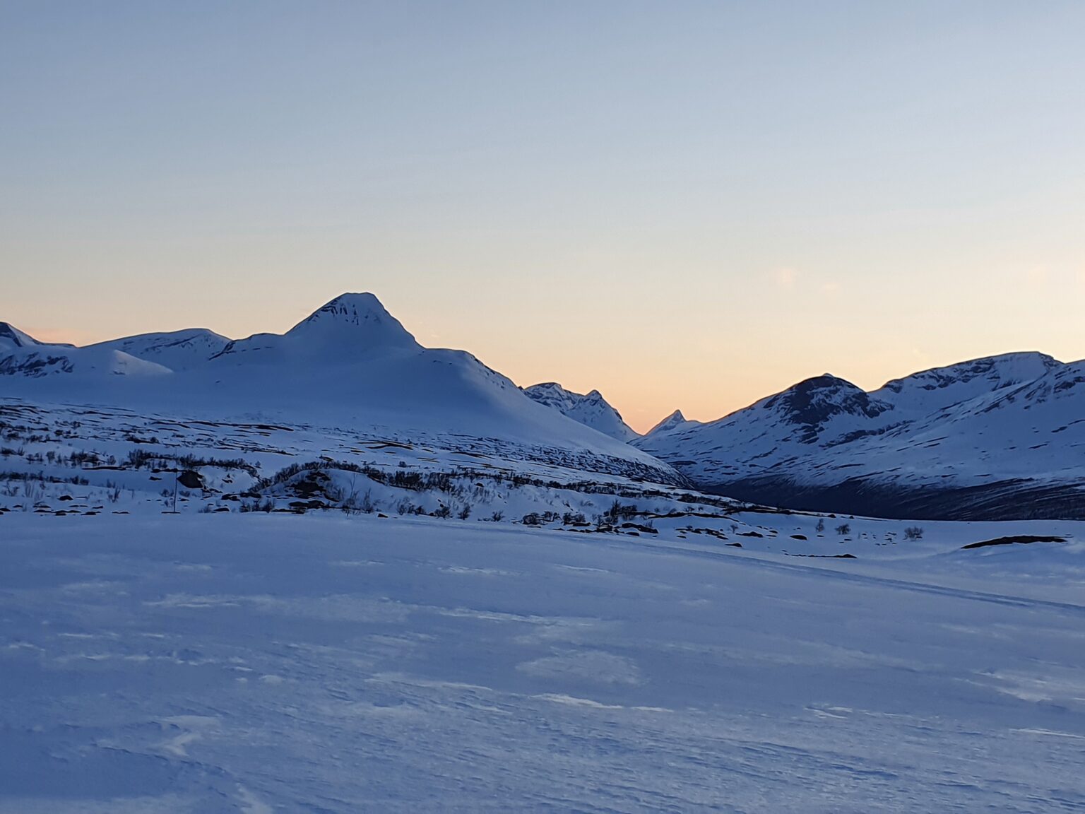
Looking back I could see Bárrás and the area I was the day before. By now the weather had changed and there was a small chance for early morning rain so I moved as fast as I could.
About an hour into the day I made it to the border point between Finland, Sweden and Norway. From here on out I would be back in Finland and only a few hours from civilization.
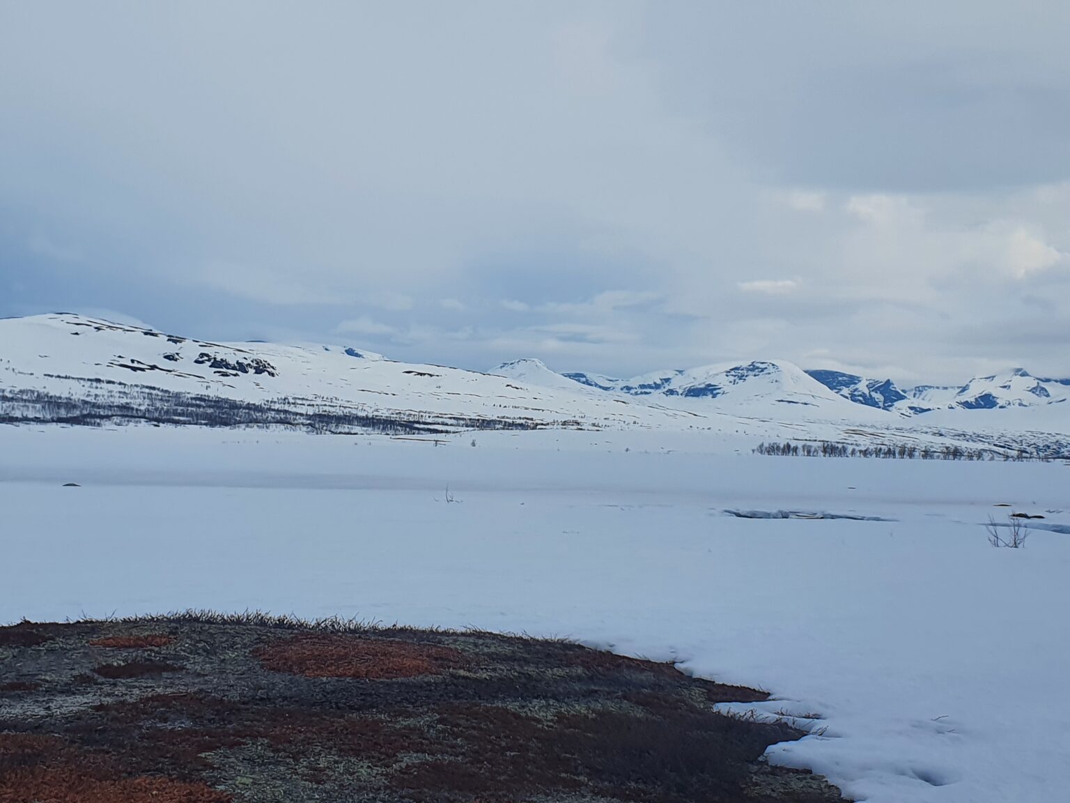
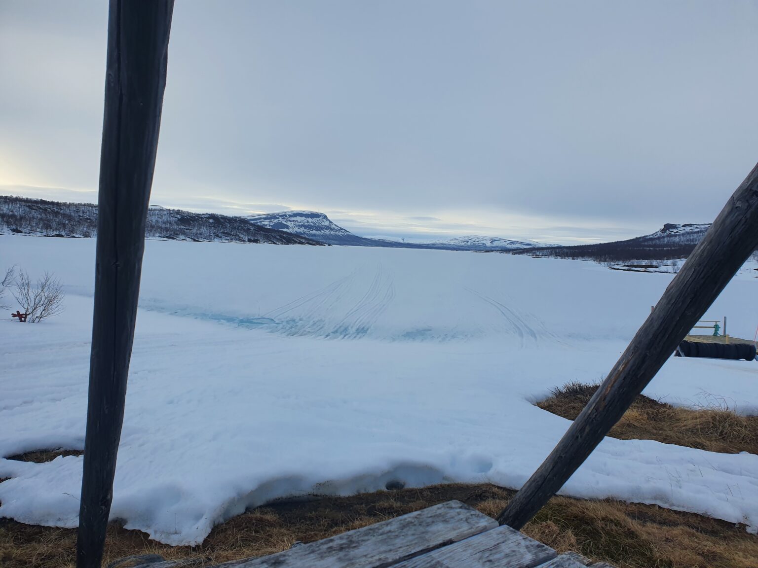
I had originally planned on following the shoreline but the snow was total slush. Wanting to take advantage of the firm snowmobile tracks I followed there route finally getting my first view of Kilpisjarvi.
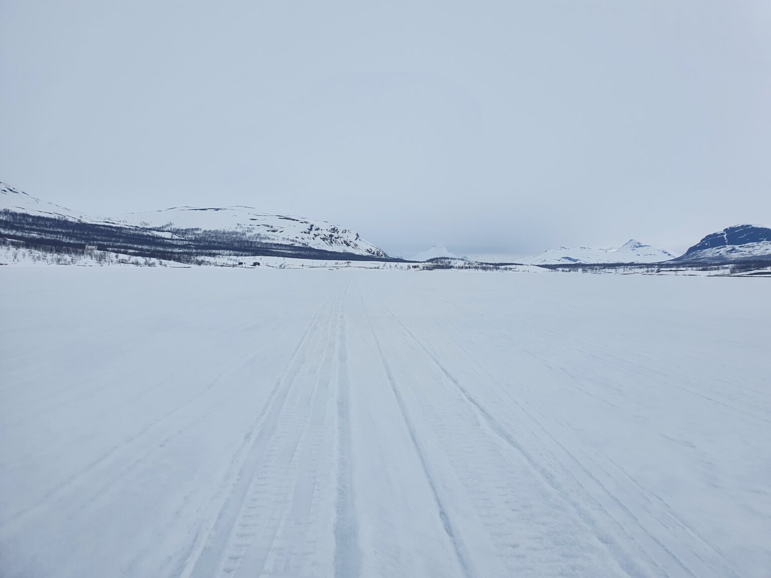
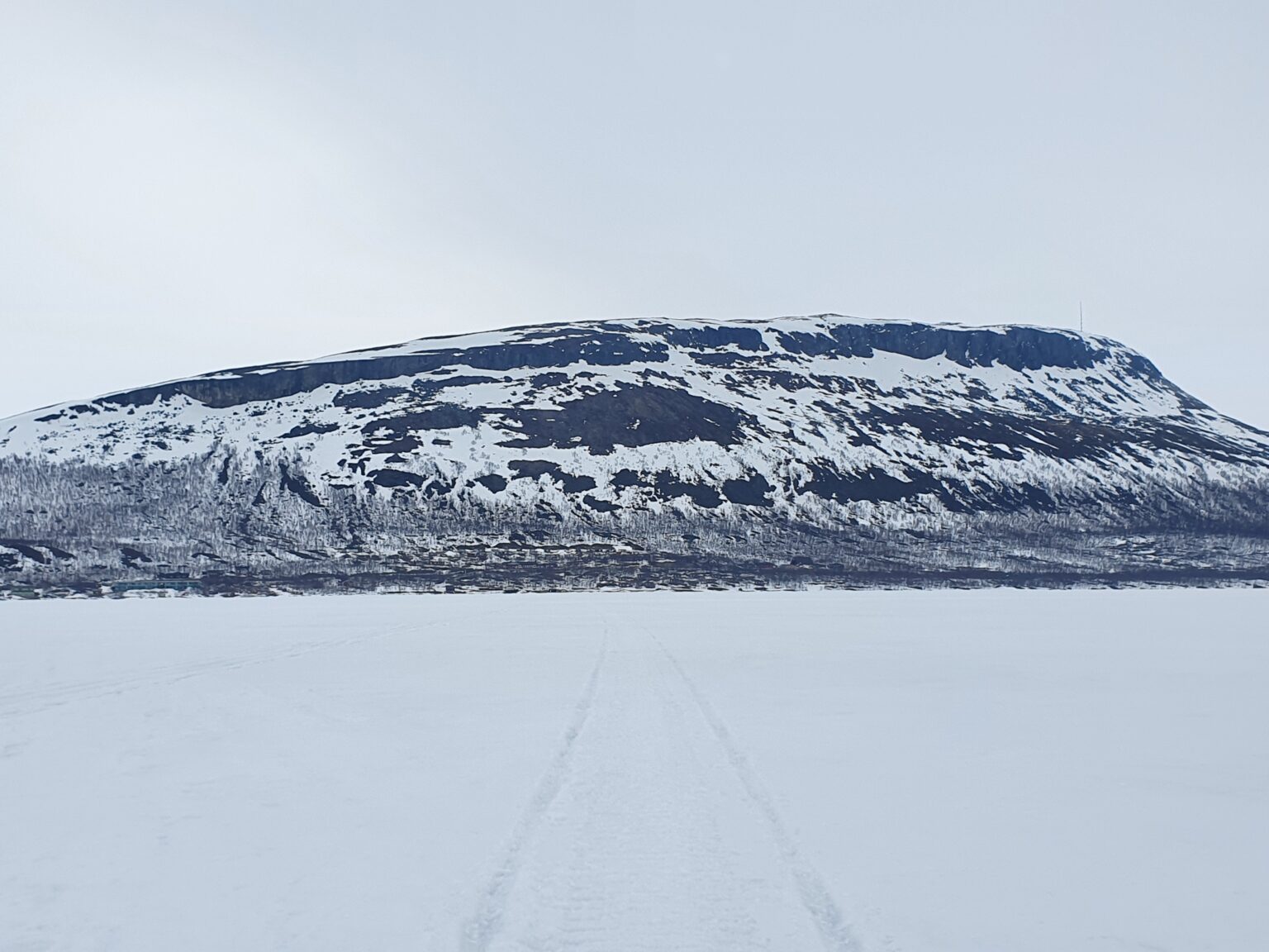
Knowing that it was going to get warm in a few hours I was a bit hesitant about going on the lake but from what I could tell it seemed to be still frozen. There is always a moment of fear when you walk onto a frozen lake but I decided it was the best way to go.
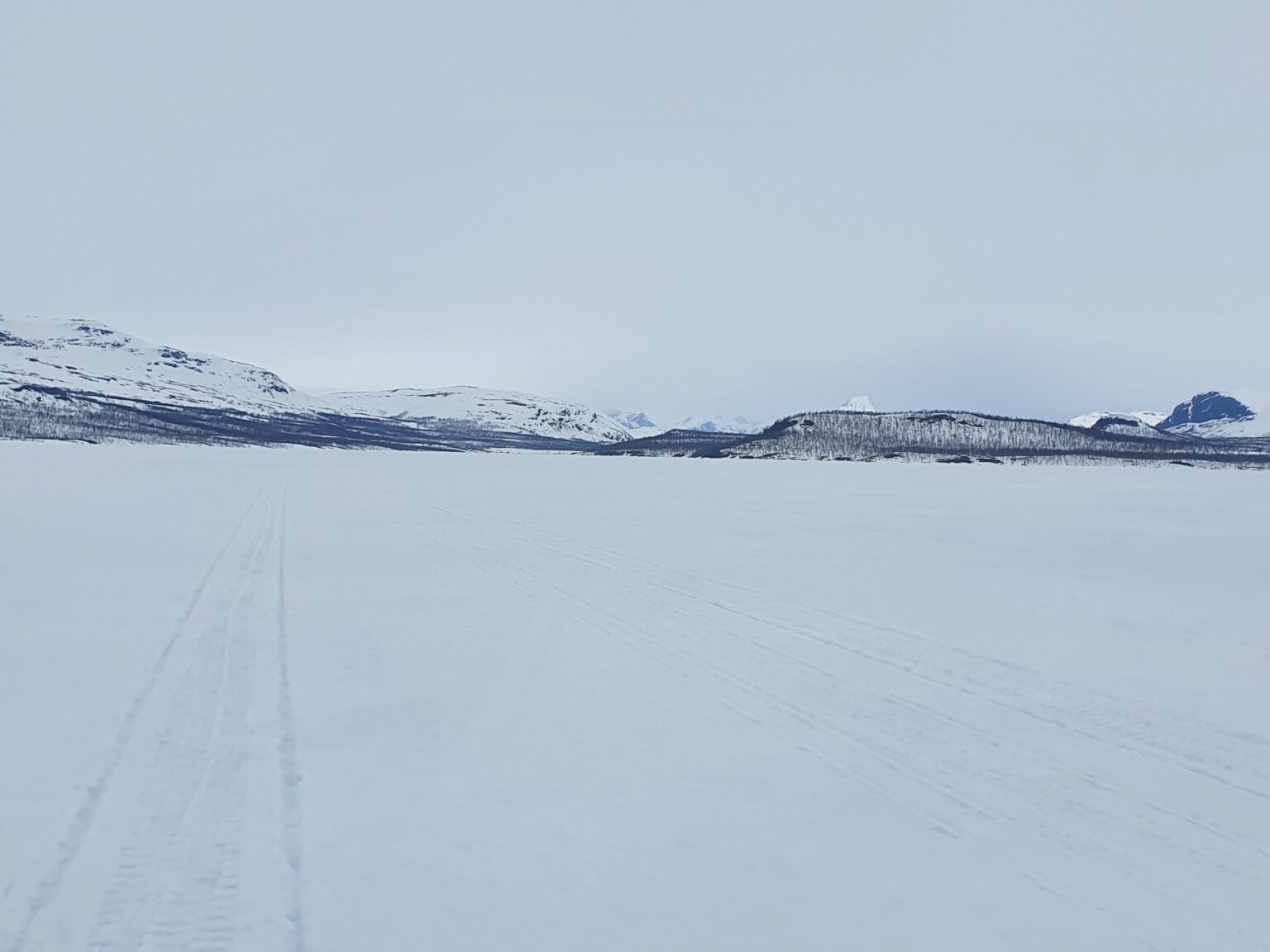
Once on the lake I was committed so I just moved as fast as I could only occasionally stopping to take photos. Being a massive lake it was hard to tell how far I was away from the town of Kilpisjarvi.
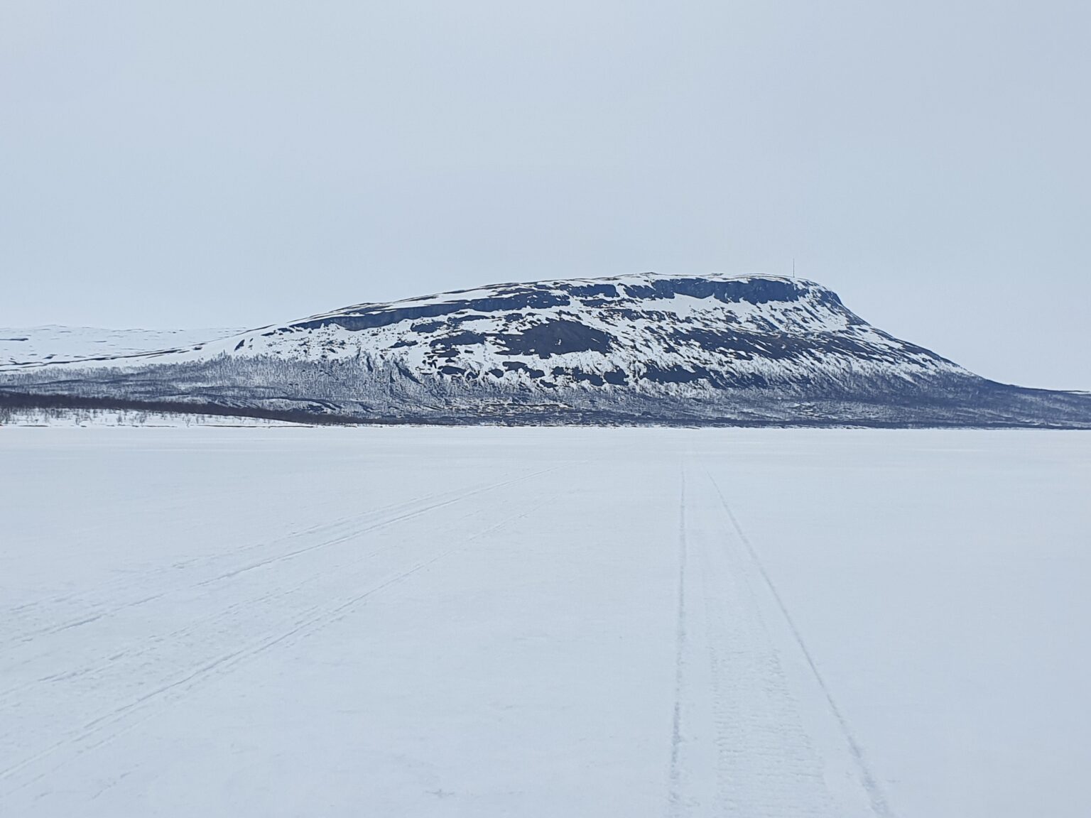
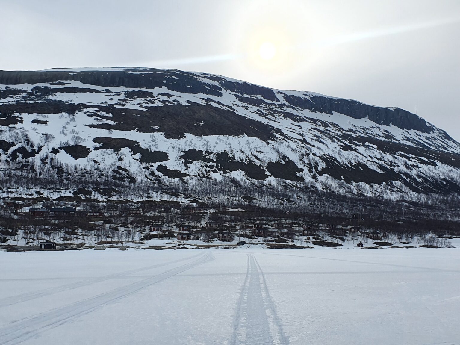
Spotting Saana Mountain in the distant I started heading straight for it knowing that the town was below the mountain. Fortunately I was on ice so I was able to get a good glide. It was still early in the morning so I had more then enough time to make it to my bus stop.
C
C
Before long I could start making out houses and was happy to know that I would be off the ice in a few minutes.
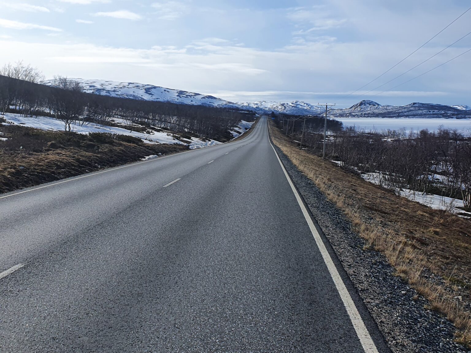
Arriving into the town of Kilpisjarvi I was hungry and decided to walk a few additional kilometers to a grocery store that doubles as another bus station. With my snowboard on my back I walked an additional hour before arriving at my final spot 4 hours before the bus arrived and I would be on my way back home to Rovaniemi.
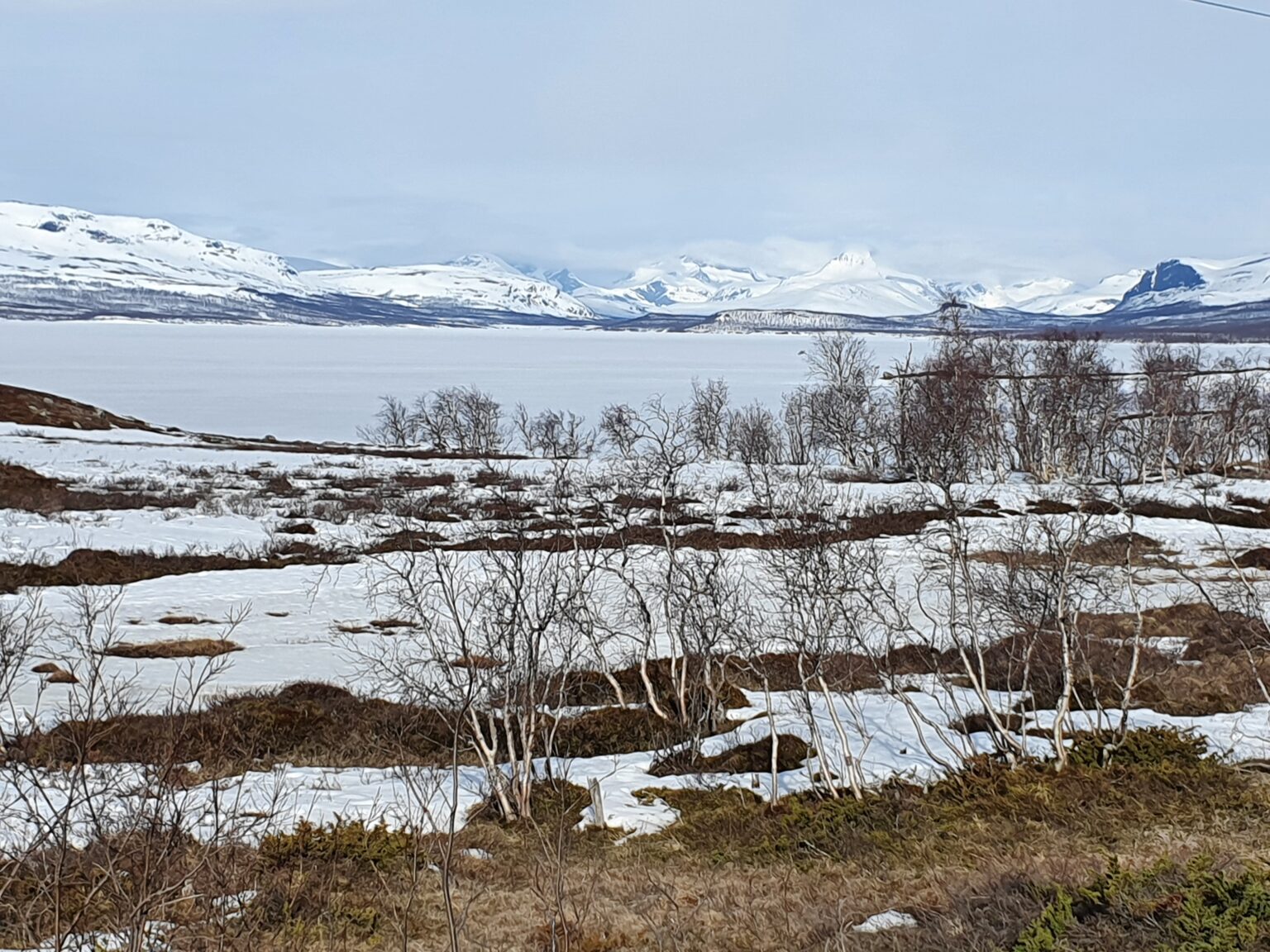
Looking back I could still see Bárrás where I was two days before. I had traveled a long ways but could only see 1/3 of my route. It was amazing watching the terrain transition from steep mountains to fairly flat terrain of Lapland.
In conclusion while there were a few problems with the route it had gone pretty smooth. Since I was solo I made the choice to ride mellower routes then I would have if with other people but it was a perfect way to end my 2022 Season at Tamokhuset. It was a fun route and good way to see knew terrain and sure if someone wanted to do it I would happily recommend it but if I wanted to do this traverse again I would want to come up with another route.
I’m happy that I did the trip and it gave me quite a few ideas of trips for next season.
Thanks For Reading this and here is a link if you want to check out more