
Mount Shasta is the second highest volcano in the Cascade Range located in Northern California. With 9,700 feet of prominence it is possibly the best ski touring volcano within the range. During the last 10,000 years, Mount Shasta has erupted an average of every 800 years and the last record eruption was around 1250 AD. The name is a bit confusing at the name Sasty was given to Mount McLoughlin in 1827. After a mapping expedition in 1842 the name Mount Shasta was officially given to the volcano. Some Native American Tribes gave it the name White Mountain for obvious reasons. Being a massive volcano there is concern that the slopes could collapse similarly to Crater Lake. With numerous populated areas nearby this is one of the more dangerous volcanoes in the Cascades Range.
Since Mount Shasta is a rather isolated volcano Mount Shasta has numerous colorful legends behind it. Starting with the Native Americans within the Klamath Tribe Mount Shasta is inhabited by the Spirit of the Above-World, Skell. He fought with the Spirit of the Below-World, Llao, who resided at Mount Mazama. Later settlers started a legend about a hidden city of advanced beings from the lost continent of Lemuria living in the mountain. Many people consider Mount Shasta as one of a small number of global “power centers”.
Cascadian Volcano Raid part 1 0f 9 Mt Shasta
5/15/09
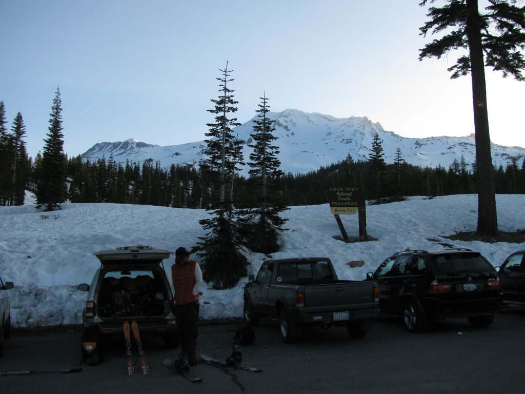
After an 8 hour drive from Seattle we found ourselves in the shadow of Mount Shasta. We set up camp in the parking lot and were quickly waken up by people arriving before sun rise. Waking up my attention immediately focused on the slopes directly to the east. This was my first time so close to Mount Shasta and it quickly became apparent that there were numerous different descent options.
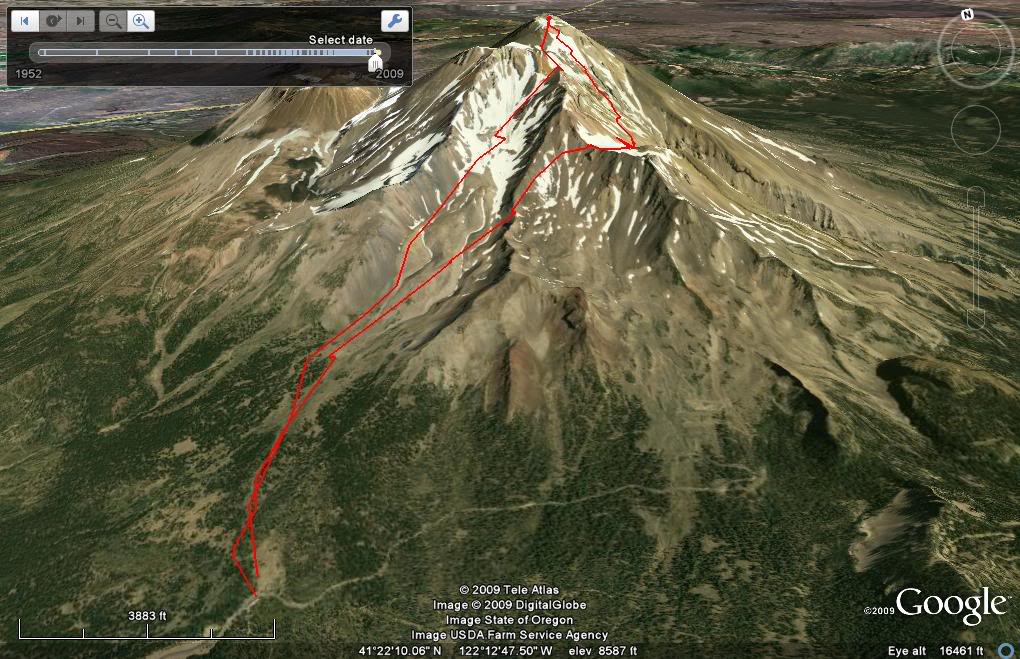
Our Ascent and Descent Route of Mount Shasta
Packing our bags the plan was to do an ascent up the standard Avalanche Gulch route. Though we would be skinning most the way we need to bring crampons with us for the upper face. Once on the summit we would decent via The Konwakiton Glacier on the South side. Once at 10,800 feet we would then skin up the Mud Glacier and traverse the old ski bowl then back to Bunny flats.
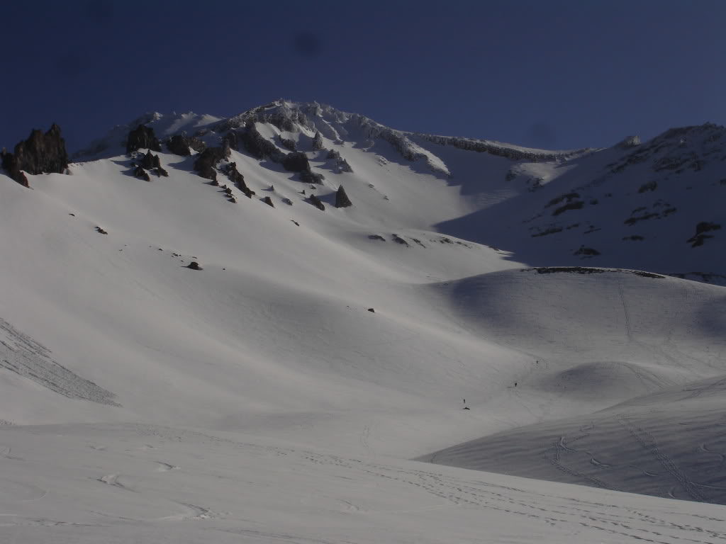
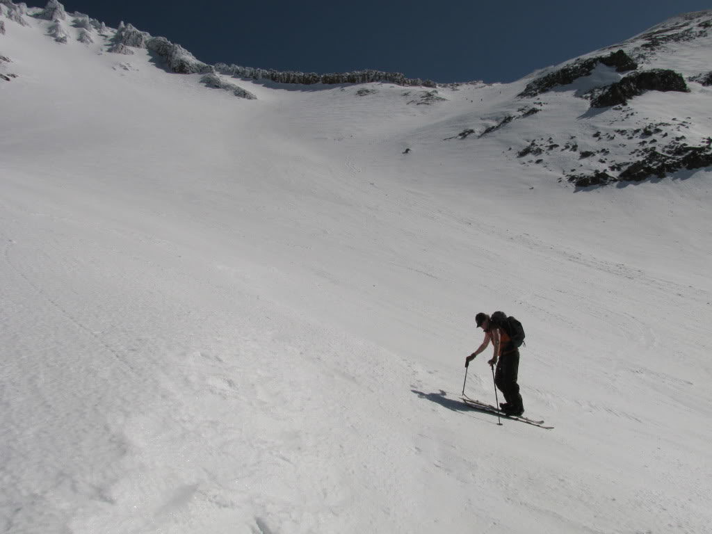
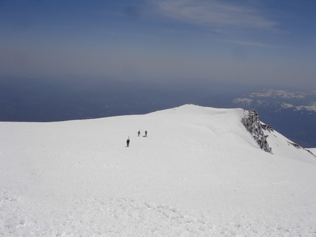
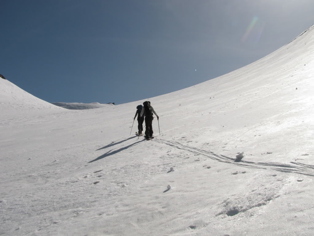
From the parking lot we had a clear path to follow as numerous people were in front of us. Within an hour we were at the base of the Avalanche Gulch and had a clear view of the climbing route. In front of us was a handfull of climbers making there way up. Being early in the morning the snow was still firm but flat enough to easily keep skinning.
Heading up the Avalanche Gulch Climbers Route
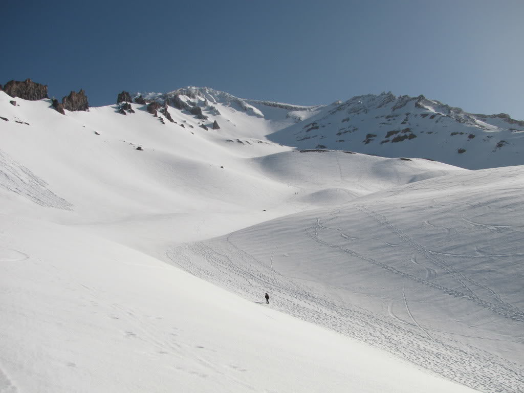
Making our way up there were boot prints and ski tracks all over the place. There was no question if we were taking the right route as a look down would confirm it. Being so low on the volcano we still couldn’t see the summit proper of Mount Shasta.
Before long we were at the base of the Trinity Chutes and the terrain steepened. Skinning up it was still firm conditions and after a few slips we decided to switch over to cramponing. The hopes were that we would be on the summit before noon and hopefully by then the snow would be much softer.
While cramponing up the face we ran into Jason Hummel and Christy. They had come down to California to take advantage of the forecast. Now we were a party of four heading towards the summit of Mount Shasta cramponing under the early morning sun.
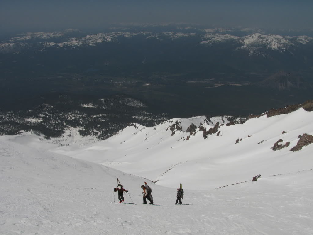
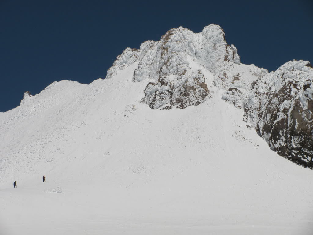
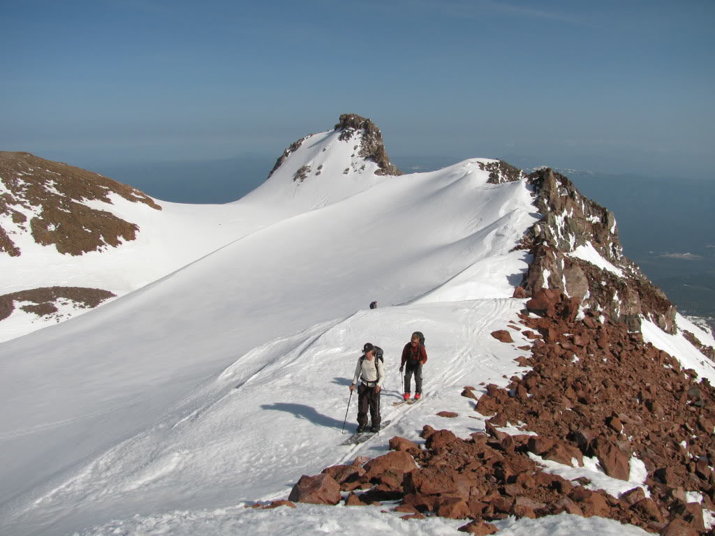
Once on the top of ridge we were looking at the Red Banks and Misery Hill. Being my first climb of the area I had no clue why it was called Misery Hill but I would learn soon enough. Making our way up the non technical ridge we were happy to be bootpacking. It was still quite firm and the low angled terrain seemed to go on forever.
The Brutal Misery Ridge to the Summit of Mount Shasta
We thought the crux of the route was the upper headwall of the Avalanche Gulch but instead it was Misery Hill. You would see a high point in the distance only to find another one behind it. This went on for what seemed like hours and by the time we were making the last steps to the summit crater I was sure it was an illusion.
After hiking the never ending rollers of Misery Hill we finally made it to the summit Crater. Like numerous other volcanoes it was a massive flat bench. The winds had left its mark on the snow as nothing was smooth. It would be a painful ski but fortunately we wouldn’t be on the area for long.
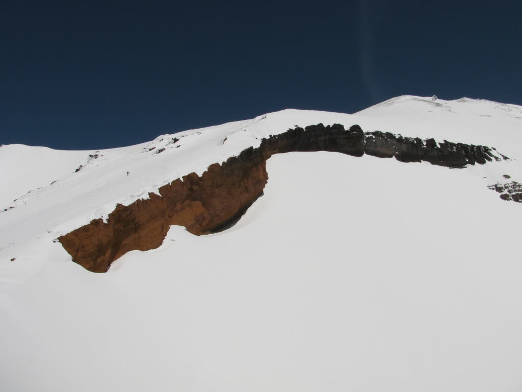
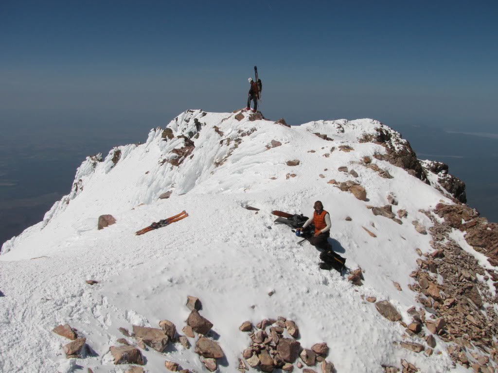
Finally we were at the base of the rime covered summit of Mount Shasta. Though we had seen numerous people below the high point had no body there. You could tell that it was a windy place as the ice stuck to the brownish rocks.
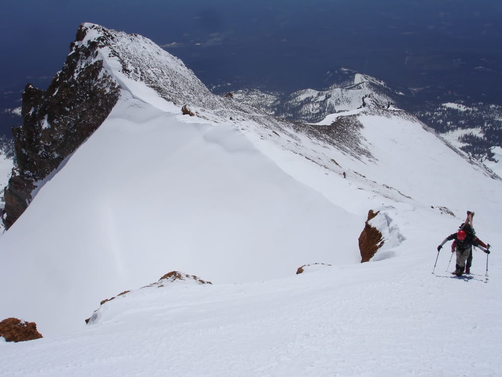
While a bit steep it was only a 300 foot pitch to the summit of Mount Shasta. From the west side the last slope rose out of the flats below compared to the consistent slopes on the east side.
Arriving on the Summit of Mount Shasta
Soon enough we were standing on the summit of Mount Shasta and taking in the views. Being the second highest volcano in the Cascade Range I felt a bit dehydrated and decided to melt some water. Fortunately it was a clear day with no winds as we rested for our descent. It had taken us around 5 hours to make it to the top and within an hour the Konwakiton Glacier would be in perfect corn conditions.
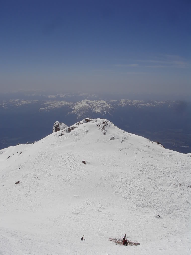
Looking to the northwest we could see the town of Weed and Shastina. With a few days of good weather our plan for the following day was to summit it and ski the Cascade Gulch. Looking at the photo below it is the ribbon of snow on the right hand side between the rocks.
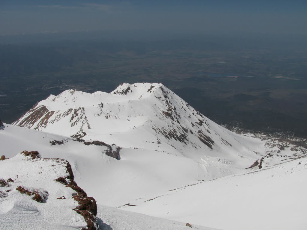
To the east was the Hotlum-Wintun Route of Mount Shasta. Over the years this would become my favorite descent off the summit but it was too early in the season to get access. The road up to the trailhead was still covered in snow but looking down it seemed like a steep and smooth face.
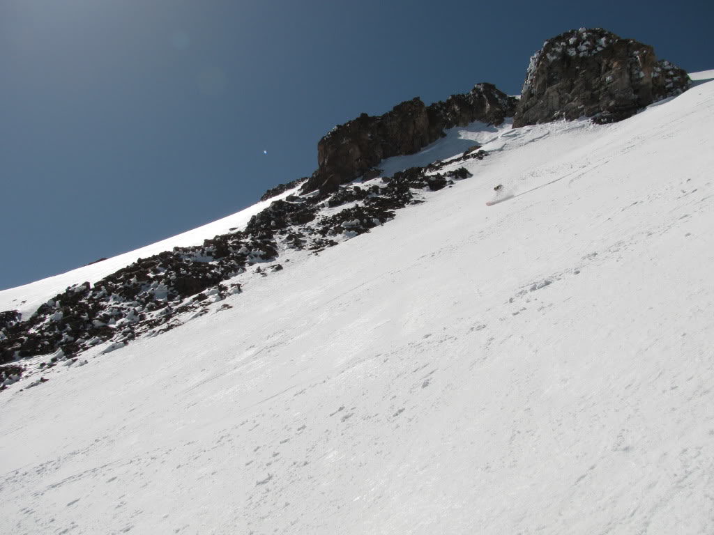
Skiing Down the Konwakiton Glacier
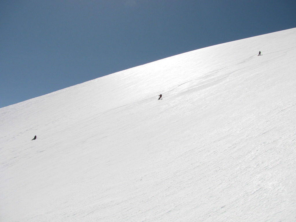
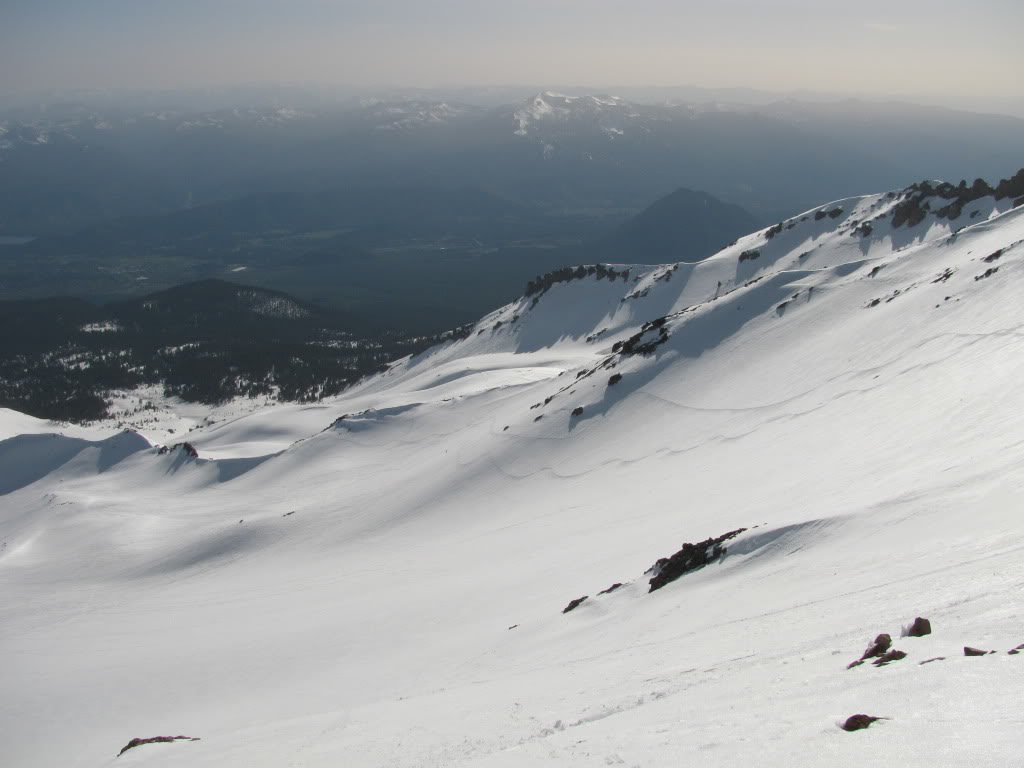
Finally the time hit noon and it was time for our ski descent. With our gear on our feet we made our way off the Crater riding rime ice along the way. Soon enough we found ourselves on the Konwakiton Glacier. It was a different story as the snow was smooth and fast. Before long we were making our way down the open slopes and enjoying perfect spring corn.
Before long the open slopes turned into a canyon and although we were on a glacier crevasses were few and far between. The conditions were much better then the Avalanche Gulch and we were the only people putting in tracks.
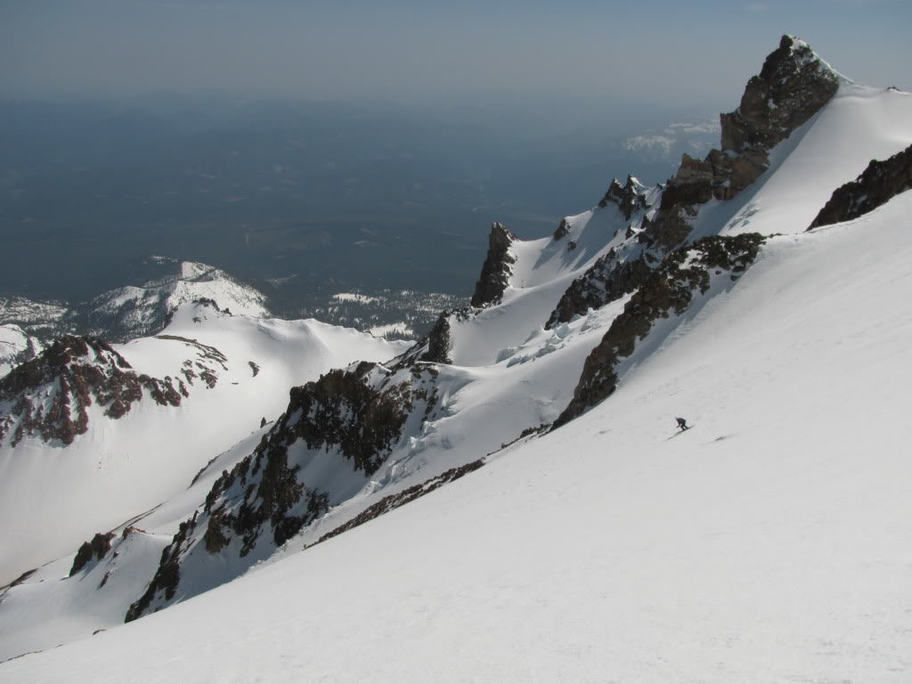
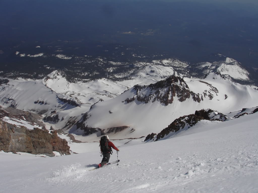
Around 12,8-00 feet the slopes steepened dramatically. If the conditions would have been firm it would have been interesting but we had great conditions. 2,000 feet below we would soon be on the Mud Creek Glacier where we would have to skin again.
Once past the crux the slopes mellowed out again and we were making the final turns towards the Mud Glacier. Though it wasn’t a direct route to the car it was a much better ski descent. Though I imagine the crux area gets sketchy later in the season it was late May and an easy ramp.
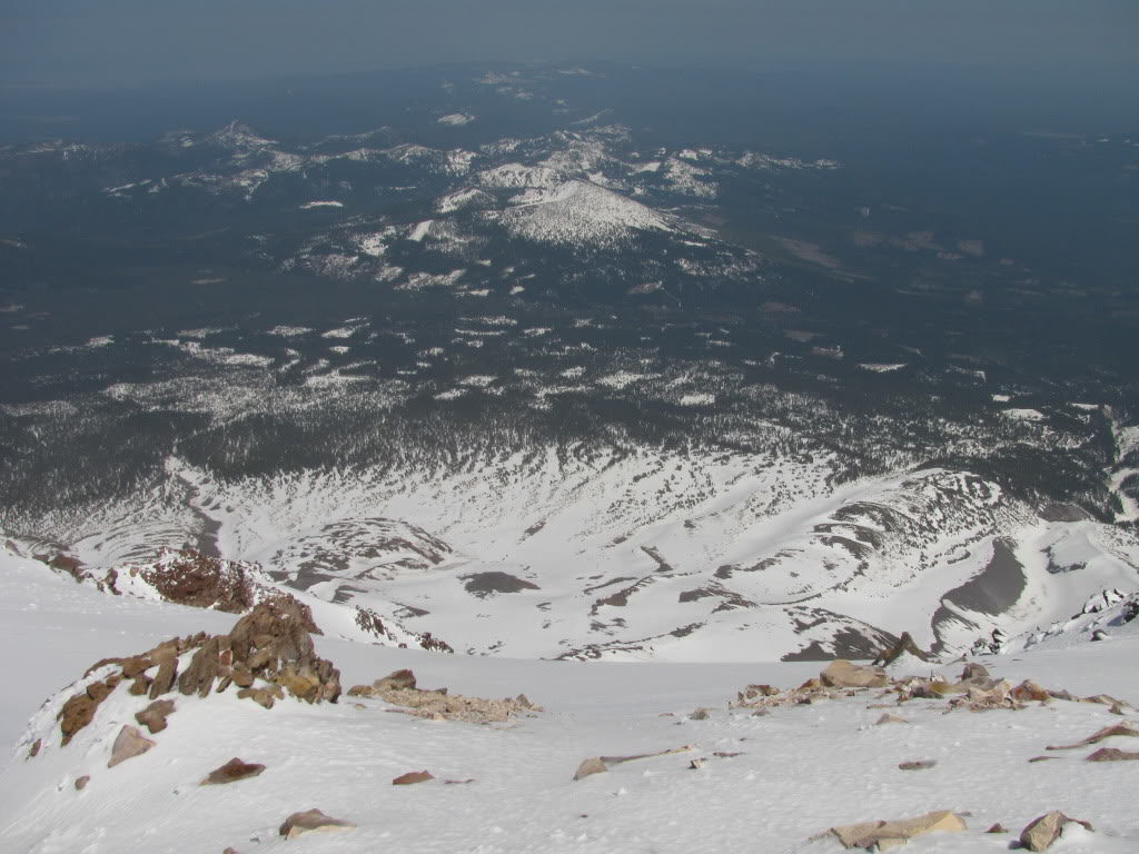
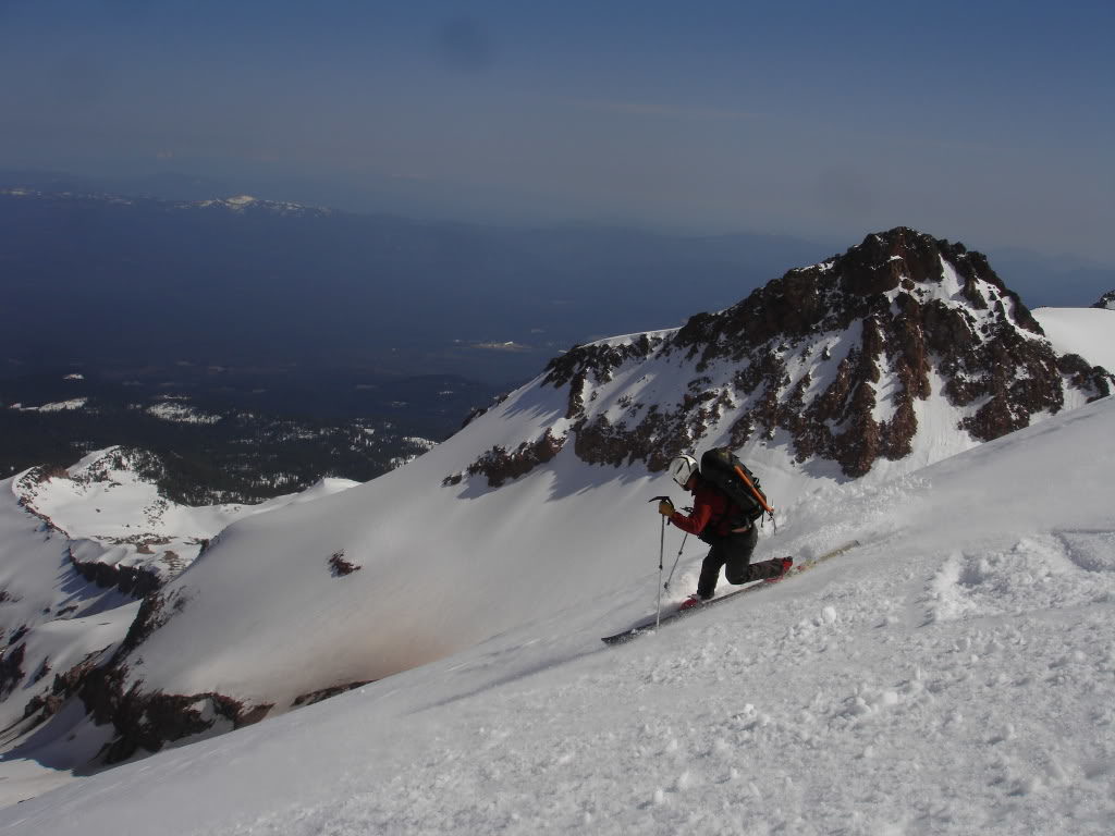
Finally we made our way onto the lower lobes of the Mud Creek Glacier. We decided to ski until the conditions got bad then head west over Sargents Ridge. From top to bottom the conditions were perfect not being too firm or too soft.
Time to Skin up the Mud Creek Glacier for the Final Descent of Mount Shasta
Before long the snow conditions had started to get bad on the lower lobe of the Mud Creek Glacier. It had been over 3,000 feet of fall line skiing and it was time to transition. Our plan was to head over Sargents Ridge before traversing the Old Ski Bowl.
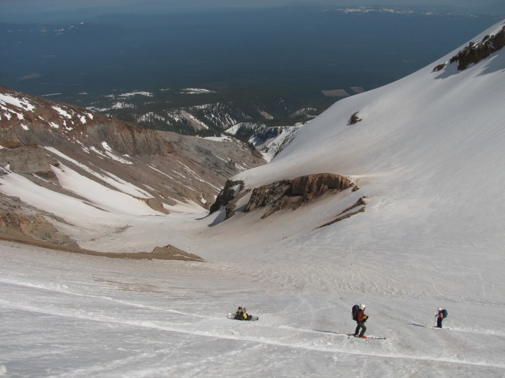
Making our way up the Mud Creek Glacier it was a low angled slope all the way to the ridge. By now the snow was soft which made for easy skinning as we switched off breaking trail.
20 minutes after transitioning we were at the top of the Mud Creek Glacier and looking for a route into the Old Ski Bowl. Though it was a longer route down Mount Shasta it was already worth the extra climb.
Finally we found a spot to drop into the Old Ski Bowl where we could get a few turns before traversing. Looking at the other tracks it was obvious where we needed to go to get back to Bunny Flats. By now we had been on Mount Shasta for more then 6 hours and had seen quick a lot of the mountain.
After a few turns and a long traverse we were back in the Avalanche Gulch. It went from smooth snow to bumpy tracks as we hit the climbers tracks. Before long were back at the car and setting up camp for the night. Mount Shasta had been a great start to our volcano road trip and from here on out it was only going to get better.