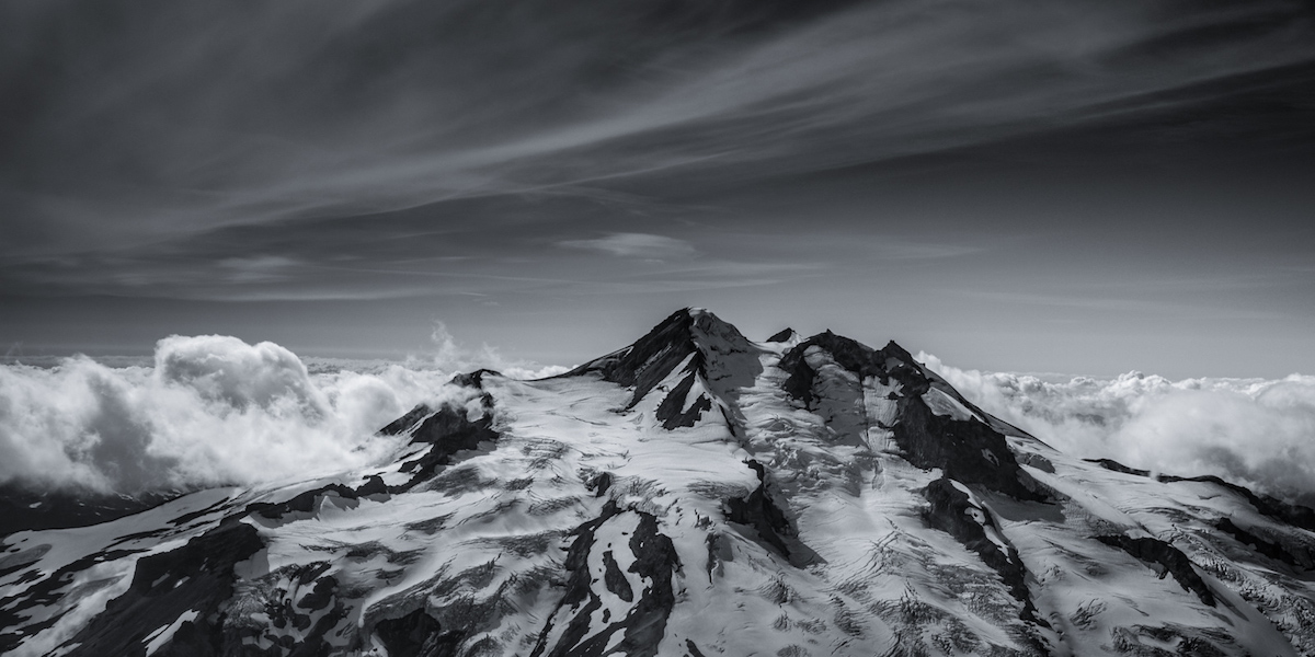

There always needs to be a deep respect for the mountains that surround you. Mountains will always let you know when they will allow you to climb them. This was the case when both Amar Andalkar and I decided it was time to head for the crown of the Cascades, Mt. Rainier. Winds can be a good friend on a hot summer day but they can also be your worst enemy when you are climbing a massive glaciated volcano that hovers over 7,000 feet above the surrounding mountains. Whether being tossed around by the winds or the cool breeze not allowing the snow to soften, it was obvious we would have to wait for the mountain to allow us to ski/ride it.
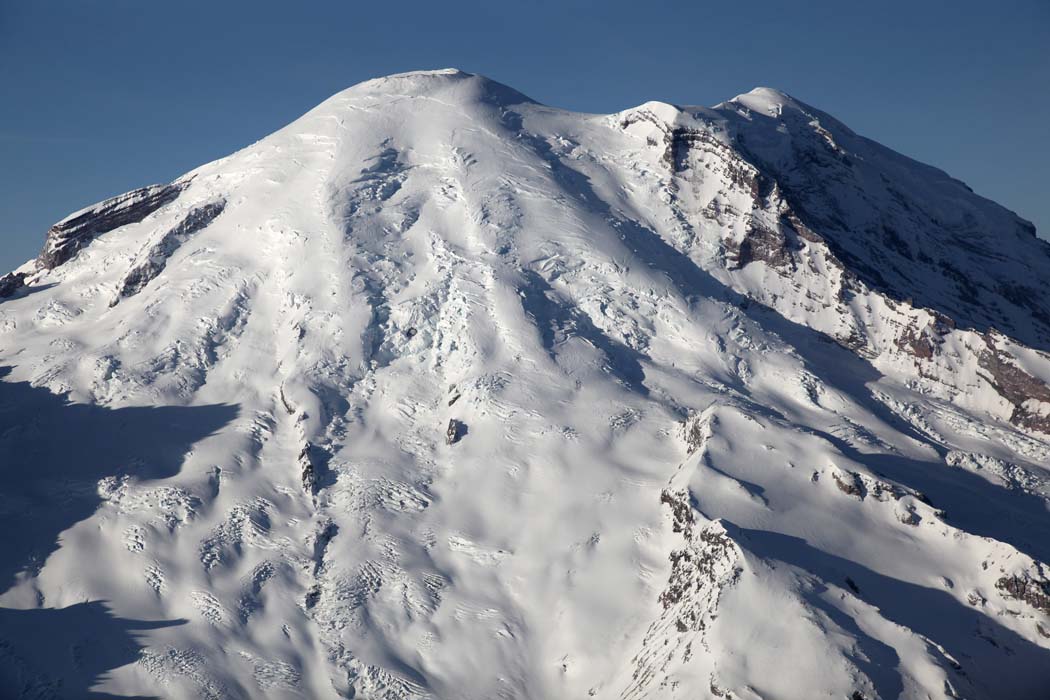
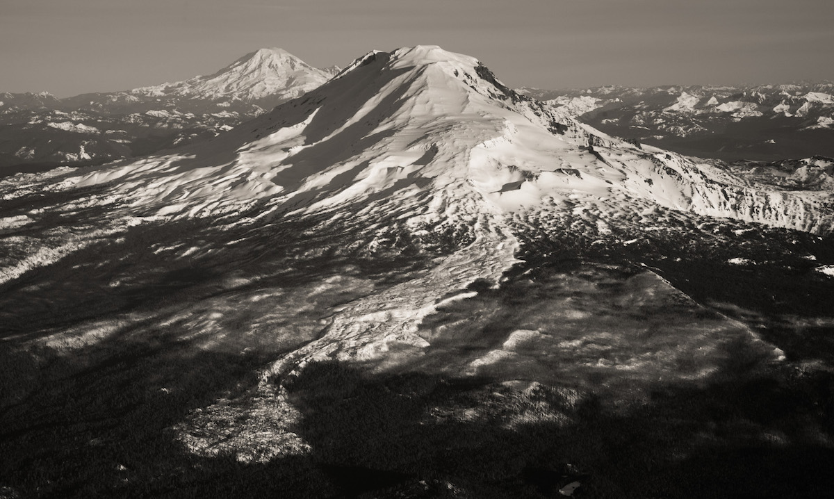
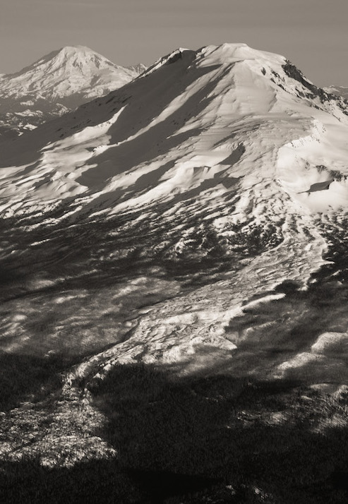
Amar is the type of person who puts every ounce of energy into whatever he does, so I was all ears when he told me that the forecasts for Mt. Shasta seemed much more favorable then Mt. Rainier’s. We made a group decision to go to the crown of the southern Cascades and ride the east-facing Hotlum Wintum route on Shasta while keeping a close eye on Rainier’s forecast and waiting for the winds to die down. That night we made the nine-hour journey to the base of Shasta. Amar slept in his comfy car while I was maliciously attacked by swarms of mosquitoes in my sleeping bag.

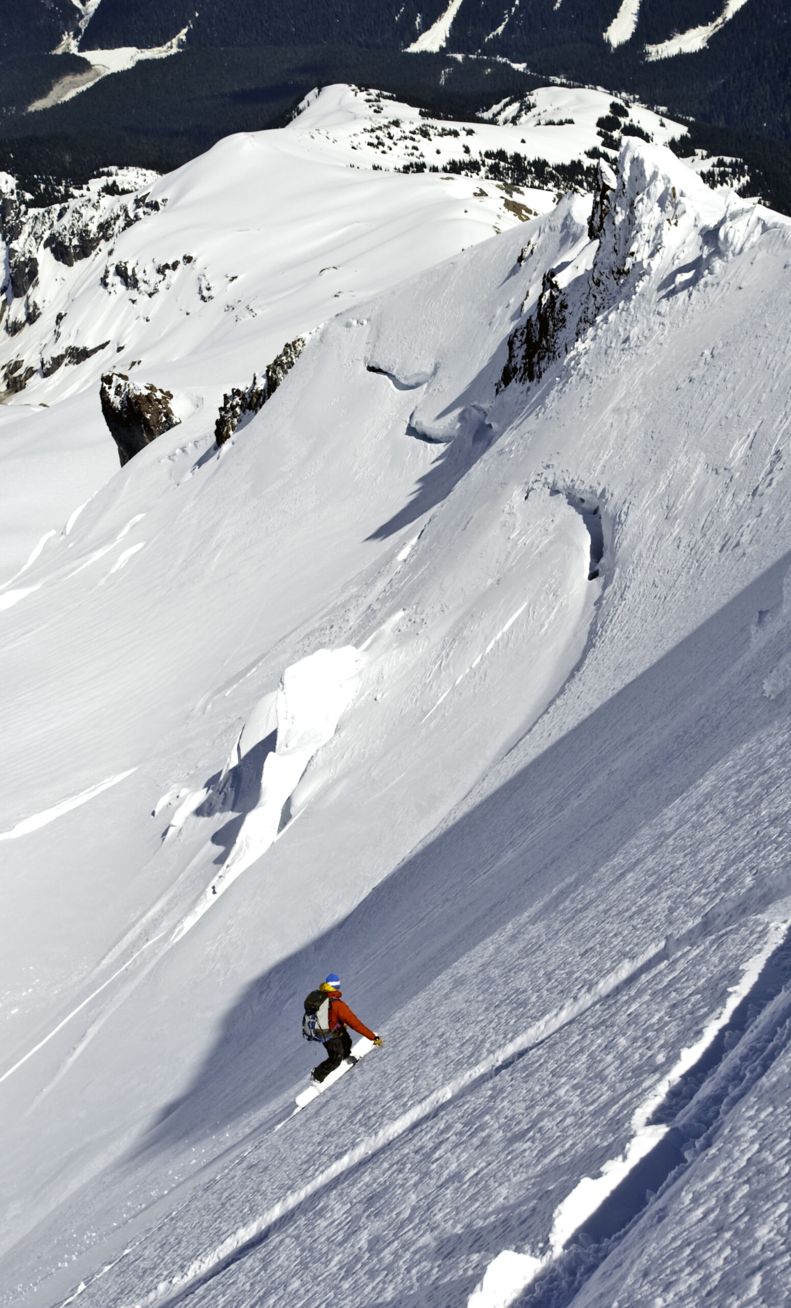
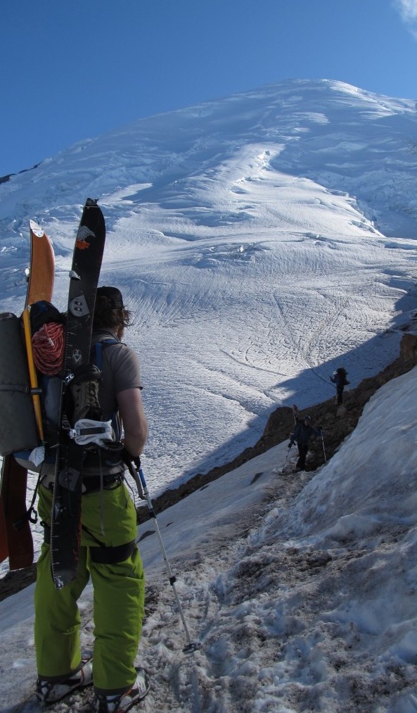
Twenty-four hours after arriving at Sea-Tac international airport I was in a car with Jessie Rowe driving 200 miles south. The plan was to ride Mt. Adams via the Avalanche Glacier Headwall. Being Washington’s second-tallest peak and one of the last places to find steep, smooth corn its a great early Summer descent. With a favorable forecast of two days of back-to-back sunshine we arrived at the Cold Springs campground at the early hour of 11:00 p.m. The parking lot was filled to the brim with climbers, hikers and skiers.
The silence of night was broken by the alarm going off at 6:00 a.m. we resorted to the snooze button for a few extra minutes of sleep. By 6:45, we were slowly moving and packing our bags for a long day. Our plan was to climb Mount Adams southern route before descending the Avalanche Glacier Headwall. From the moment I stepped on the trail, I was blown away by how much snow still lingered in the Cascades. It was the end of July, but felt like early June as we followed a solid path of boot prints. Before long we ditched the trail for a more direct path. The snow was firm as we skinned up, forcing me to use ski crampons. Once on the steeper slopes I switched to cramponing for the final 3,000-foot climb.
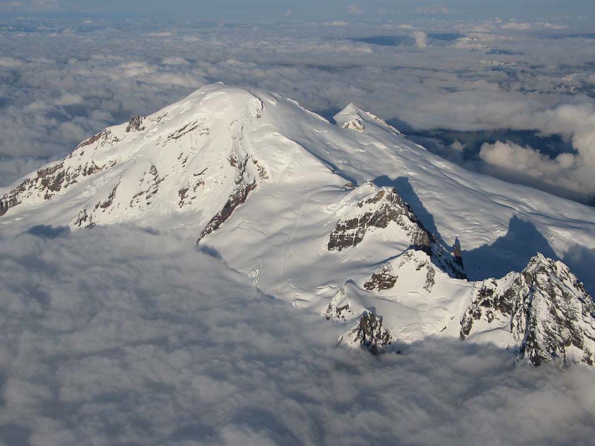
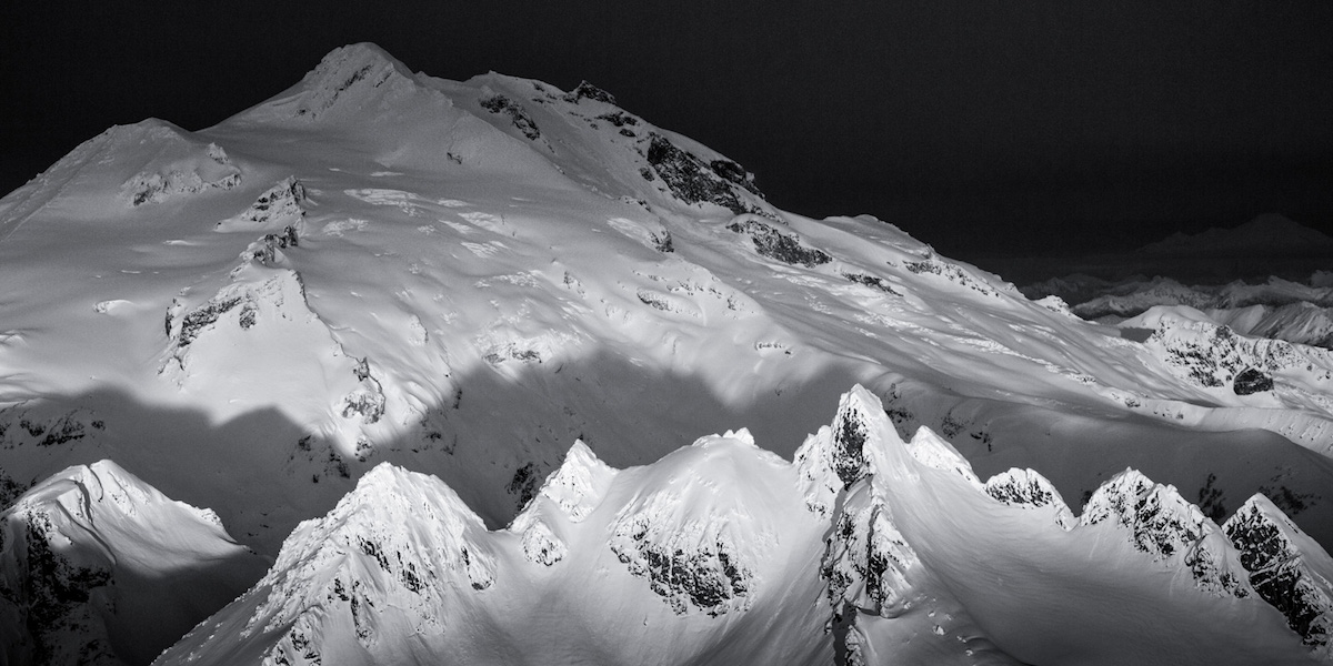
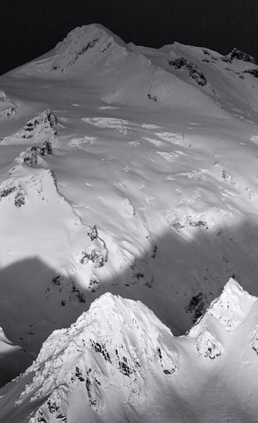
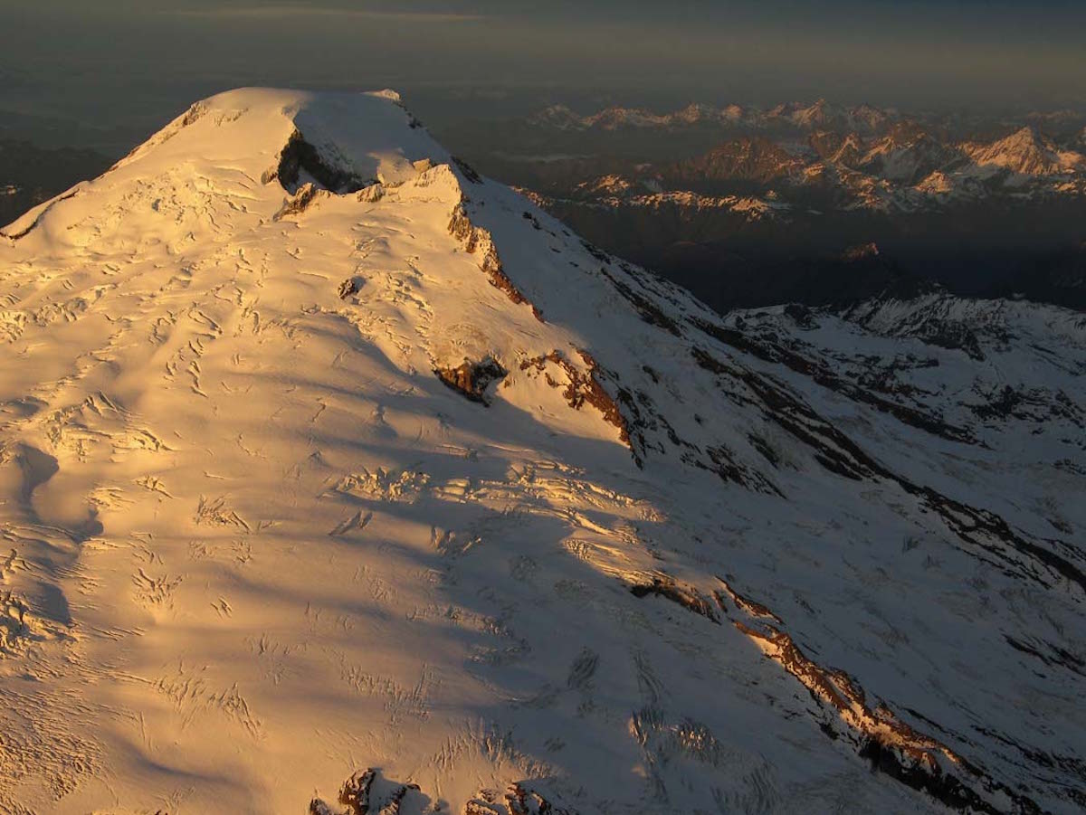
Mount Baker is the crown of the North Cascades. With a summit elevation of 10,781 feet it is the third highest peak in Washington State. What the volcano is famous for is its snowfall. Mount Baker holds the world record of over 1,140 inches in a singe season. There are 9 active glaciers within the … Read more
The Squak Glacier is located on the southeast slopes of Mount Baker. Being connected to the Easton Glacier it is popular for summer skiing. Being a high glacier it is possible to have good skiing late into August. Starting at 6,000 feet it runs all the way to the summit of Sherman Peak 4,000 feet. There is a lot of snowmobile activity Mid winter. Once the Park Butte trailhead melts out it is primarily used by skiers and climbers. Being connected to the high point of the North Cascades it offers great views and turns.
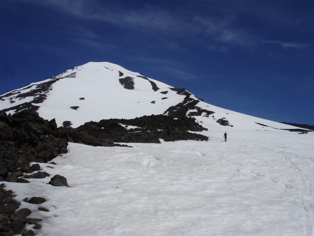
Mt Adams is the second largest Volcano in Washington State summiting at 12,276 feet. The standard route is up the non glaciated/technical south ridge which is always lively with activity on the weekends. Our crew consisted of five people Christy, Dustin, Jason and Josh Hummel and I. While normally it would make since to head up Adams in one day we decided to head up at a relaxed pace. Skinning in was uneventful other then the heat radiating from the sun. With a lack of wind our energy and motivation quickly drained away. Soon enough we were on the lower flanks of Adams. We chose to have a base camp somewhat in between the Mazama Glacier and the south ridge. This would reduce weight on the climb and take advantage of a snowless camping spot.
Skinning up the next morning was easy with only a few bare spots. We would have to transfer our skis over the nasty sharp volcanic rocks. By the time we made it up to the lunch counter we were back on the standard route. In front of us we could see people snowshoeing, bootpacking and skinning towards the false summit. Climbing up Pikers Peak we decided to bootpack once the slope became too steep but that never happened.
7/27/09
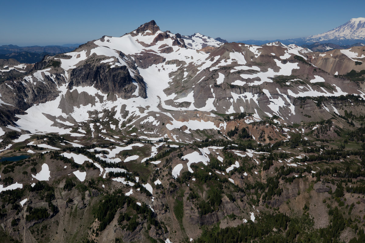
When at the summit of Crystal Mountain on a clear day there are a few peaks that dominate the southern skyline. The Goat rocks is one of those places that many have seen but few are aware of as its overshadowed by its better known companions Mt Adams and Mt Saint Helens. With huge alpine slopes, rock faces and north facing Glaciers it is a truly unique gem of the Southern Cascade landscape.
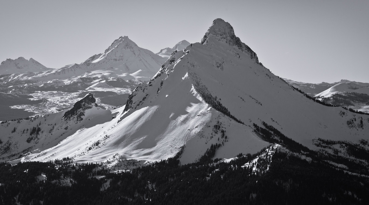
Mount Washington is one of the lesser known volcanoes in the Cascade Range. With a summit elevation of 7,795 feet it is the 30th highest peak of prominence. It is known as part of Oregon’s Matterhorns with massive erosion causing it to have a Matterhorn like look. Though questionable most people believe that it is an inactive volcano. The Mountains first summit was on August 26, 1923 by 6 boys from Bend. Mount Washington is located in Central Oregon off Santiam Pass with the nearest ski resort being Hoodoo. It can be accessed from the north by taking State Hwy. 20 to Forest Road 2690 before ending at Big Lake West Campground.
My fourth road trip to the Oregon Cascades started with 30 dollars in my bank account. A few days earlier I had received an email from Buell. He was willing to give me a few days work digging trenches for his business in exchange for some money. Soon enough I was driving south and on my way to Eugene. After two days of digging trenches I was back on the road and heading towards Mount Washington.