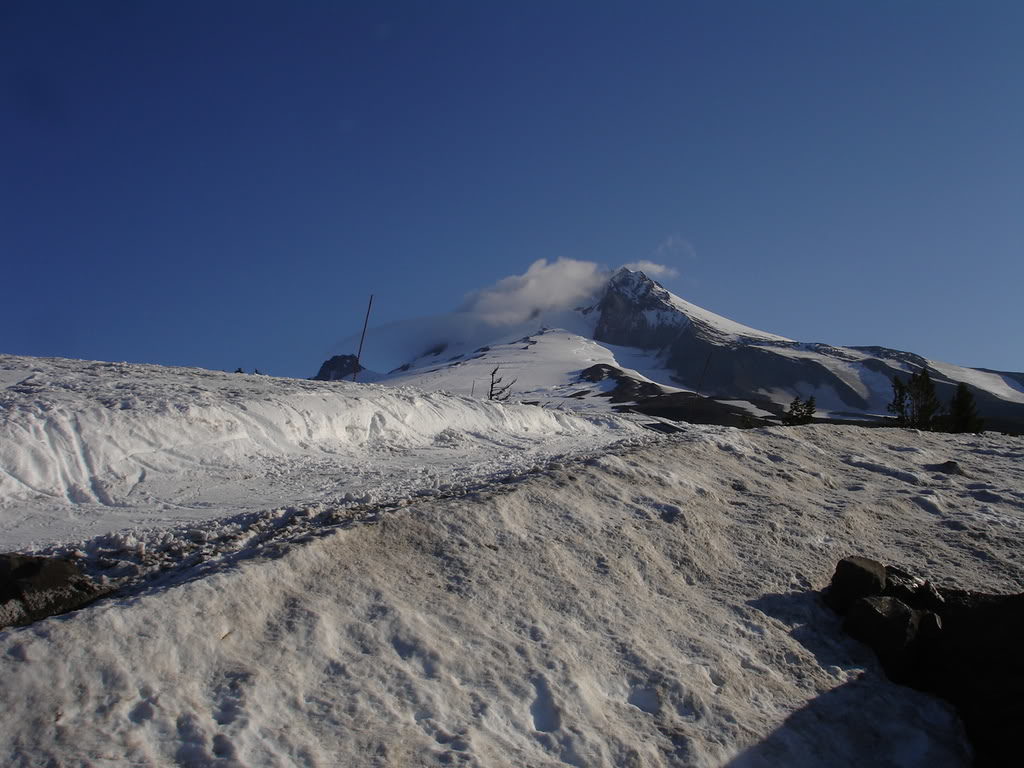
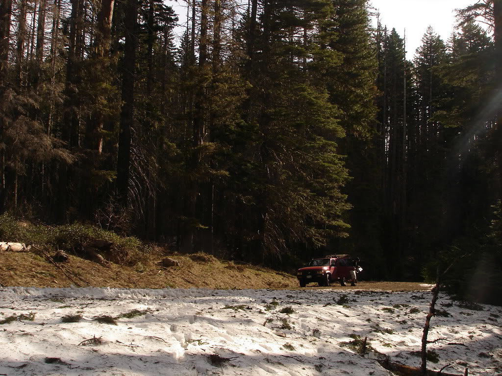
Glacier Peak is the most isolated volcano within the whole Cascade Range and gets little attention compared to its larger brothers. Earlier in the season I had made a goal to summit and ski all five volcanoes in Washington State realizing that the biggest challenge was going to be Glacier Peak on the Cool Glacier with an approach of at least 35 miles. Earlier in the Season I had spoken with someone knowledgeable about the area and he said that the road was closed because of flooding causing an extra few miles. Well after doing some research I found that the extra few miles was 6.5 each way making the total trip 48 miles.
Cascade volcanoes
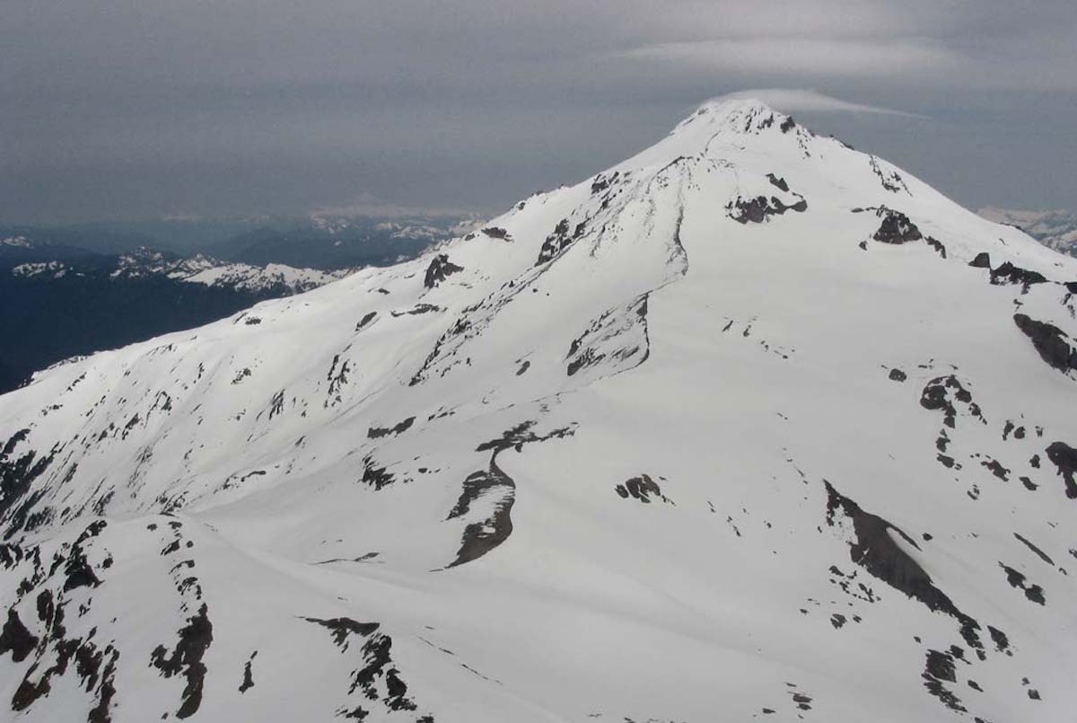
Emmons Glacier Summit Snowboard Descent
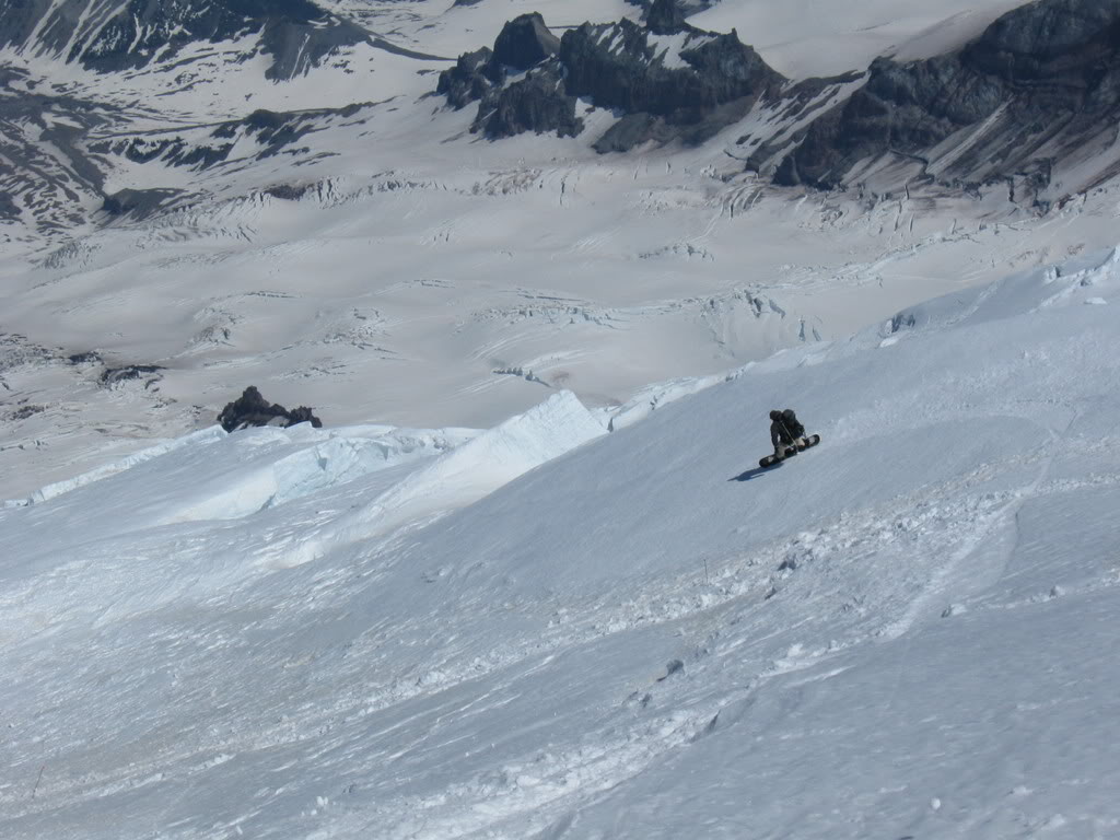
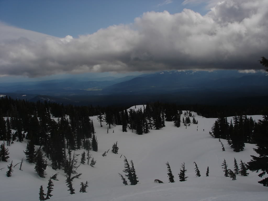
Emmons Glacier had always caught my eyes from Crystal Mountain ski resort. It just seemed like an endless descend being over 8,000 feet down to Glacier Basin after a hike over to the Interglacier. For many years I felt I didn’t have the skills for the semi technical line but over time I worked up on my skills. During the 2007 season I had a goal to ride all 5 Washington Volcanoes and this would be the home mountain.
Easton Glacier Route on Mount Baker
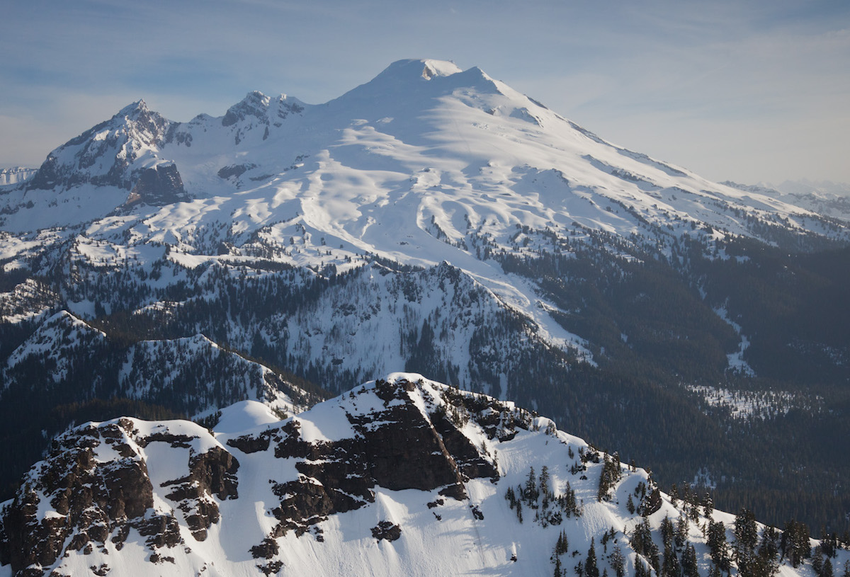
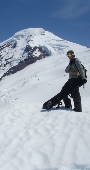
With the Weather forecasts looking promising for the weekend Scott and I decided to make a quick push for the Summit of Mt Baker at an elevation of 10781 ft. I had done the Colman Demming route before and wasn’t to impressed by the ride/traverse down so we decided to head for the Easton Glacier approach which had a much better fall line. During the winter/spring Easton is a snow park and is littered with snowmobiles so it keeps most climbers away.
The Southwest Chutes on Mount Adams
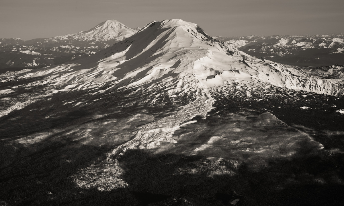
The Southwest Chutes on Mount Adams are some of the best steep skiing available on the Cascadian Volcanoes. With a straight forward and non technical ascent it is easy to get to the summit. Once there and with a small bit of route finding you can find yourself on top of the Southwest Chutes. Being a consistent 33 degrees for 3 thousand feet it is the perfect place to find early afternoon corn. Dropping off the Southwest side of Pikers Peak you don’t actually need to make your way to the summit. While the area can be skied all season the best time is June and early July but expect a lot of climbers and skiers. My plan for the season was to ride the 5 volcanoes of Washington and with Mount Saint Helens done it was time to head for the Southwest Chutes.
Leaving For Mount Adams and the Southwest Chutes
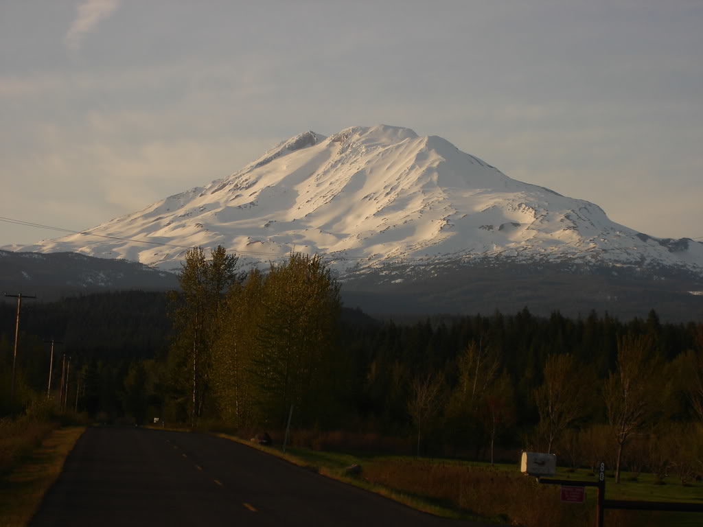
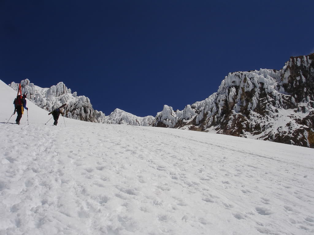
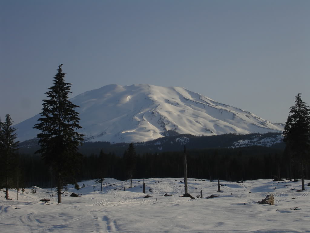
After a week of bad forecasts finally a weather window came together. With clear skies and no winds we made our way towards the base of Mount Adams. Leaving Seattle around 1 p.m. Dan, Kyle and I made plans to camp half way up the climb before summiting the next day. Making our way down we stopped by a store to grab some camping food and finally were making our last 10 miles towards the base. As we got closer we had a clear view of Mount Adams and the Southwest Chutes in the early afternoon sun. It was late May and they still had a thick winter snowpack.
The Old Chute on Mount Hood Ski Descent
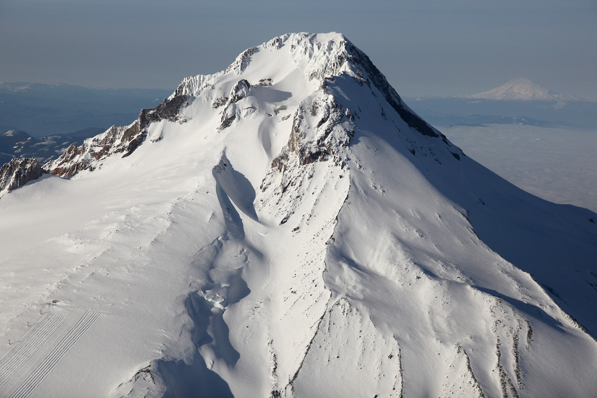
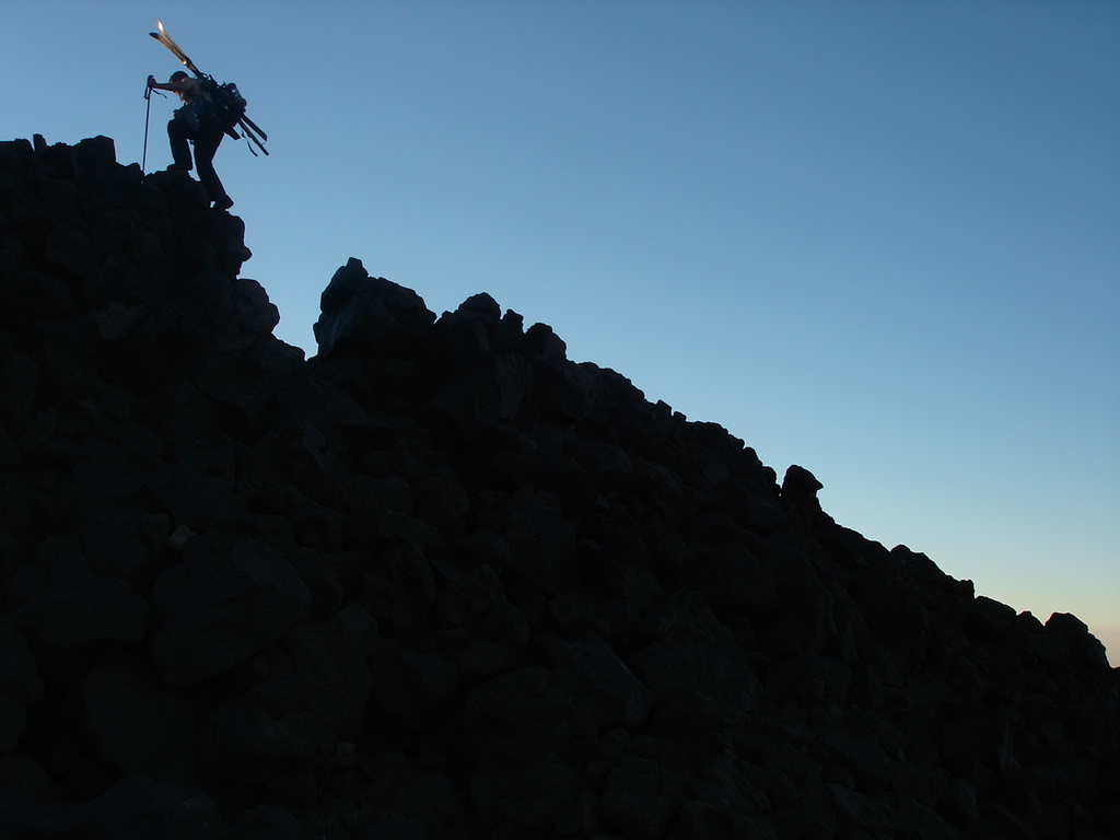
The Old Chute is by far the most popular route on Mount Hood. Starting at the Timberline Ski Resort parking lot at 5,900 feet it is a straightforward route to the summit. Being 11,239 feet the volcanoes is the highest peak in Oregon State and possibly the easiest access. That being said it is one of the most popular glacial climbs in the world being non technical with a road going half way up. The hardest section is the last 1,000 feet up the Old Chute or Hogsback Ridge.
This area can be dangerously busy especially on weekends with long lines walking up under loose rocks. A helmet is highly recommended as well as crampons and an ice axe but not necessary. From the summit it is a 5,300 foot ski run back to the parking lot. After spending two days up at Mount Adams we decided to head down to Mount Hood.
Arriving at the Timberline Parking Lot to Climb Mount Hood via the Old Chute
We arrived at the Timberline Parking Lot on Mount Hood around 9 p.m. By now it was raining hard and Dan, Kyle and I crammed into a small Mazda instead of setting up a tent. Though there wasn’t much space we were happy to stay dry as we quickly fell asleep.
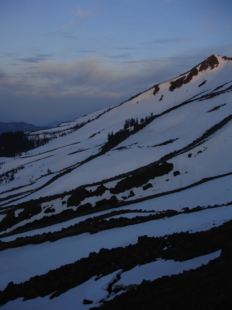
Waking up in the morning we were happy to see the front moved on and the sky was clear. Looking up Mount Hood there was a single cloud covering the Old Chute route. Knowing that soon it would burn off we decided to take our time getting ready. By now it was 7:30 in the morning and we decided to get breakfast at the Timberline Lodge. After a buffet breakfast we were skinning up the Palmer Glacier around 8:45 A.M.
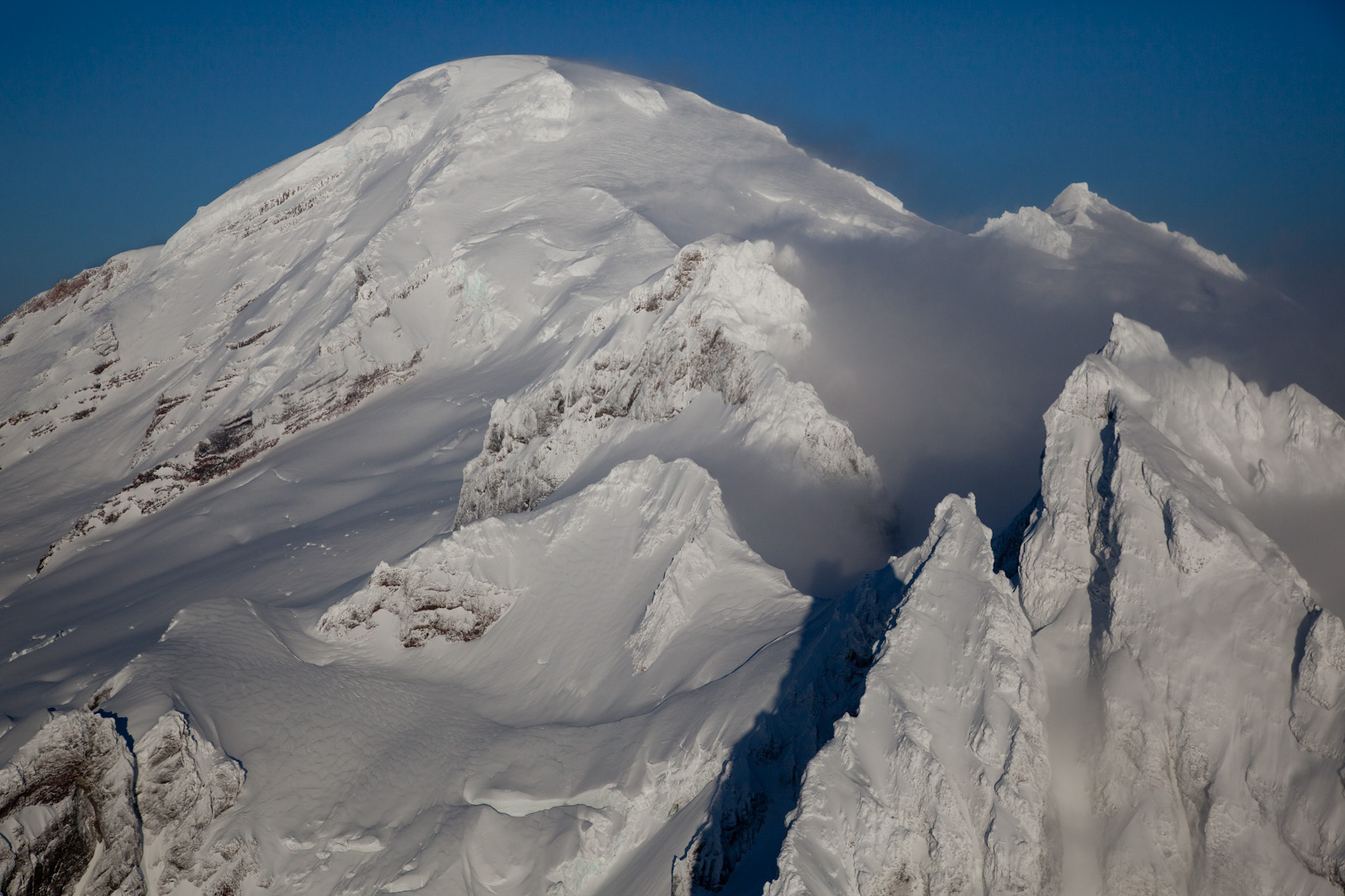
It was a quick climb and we made our way up the edge of the ski resort. Before long we were above the Palmer Chair and making our way to the upper sulfur vents. Climbing up we could see large amounts of rhime ice on the upper mountain rocks. It was a stark contrast to the blue skies and dark colored rocks. Though there wasn’t much winds the snow was still firm so we decided to hike instead of skin.

Monitor Ridge Ski Descent Mount Saint Helens
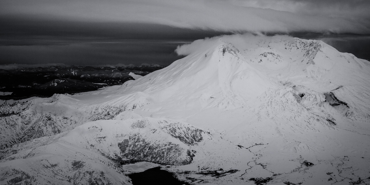
The Monitor Ridge Route is a popular climbing route on Mount Saint Helens. Being both non technical and the highest access it sees a lot of traffic once summer hits. Though the area doesn’t get plowed the Climbers Bivy trail starts at 3,800 feet. Being on the southern aspect and splitting between both SW and SE you can find great corn both early in the day or late in the afternoon. Best of all if the snowpack is low it is one of if not the longest ski descent on the Volcano at 6,100 vert. For the season I wanted to ride all 5 volcanoes of Washington State and this would be the first.
Approaching the Monitor Ridge Route
After a long drive we arrived at a dead end spot in the road around 1 A.M. We were surprised to see another car as most people climb via Marble Mountain Snowpark. Knowing we still had a few hours before it was light we decided to take a nap. The next morning we woke up with a clear view of Monitor Ridge in the distance. Though we were still a ways away from the base of the volcano it seemed like a clean route.
Worm Flow Route Ski on Mount Saint Helens
The Worm Flow Route on Mount Saint Helens is one a great place for a non technical ski tour. With a starting elevation of 2,700 feet and the Crater Rim above 8,300 it offers 5,500 vert of fall line skiing. With permits needed between May 15th and October 31st it is limited to only 100 people per day. Though you can find great turns in mid winter this place is best for Spring Skiing. Being a south facing slope with a relatively low elevation there is no wonder why it is usually the first volcano people climb withing the Cascade Range. With a solid 2 day weather window and no wind we decided to head up the Worm Flow Route before the annual permit season started.
It was a long 3 hours as we drove South from the big cities towards Mount Saint Helens. By now the ski resorts had all closed and we were still in the prime of winter conditions. With a thick snowpack in the high country we wanted to make the most out of it. Soon enough we arrived at the Marble Mountain Snowpark and pitched our tents. By now it was dark and we quickly made dinner before heading to our sleeping bags. Being that it was our first time climbing the Worm Flow Route we set our alarms for a predawn approach and were soon asleep.
Climbing Mount Saint Helens via the Worm Flow Route
We woke up to the brutal sound of the alarm going off. It was 5 a.m. and still pitch black as we quickly put our gear together. Soon enough we were making our way up the Swift Creek trail via headlamps. Making our way through the dark forest we anticipated a straight forward climb. Before long the it was light enough to see the Worms Flow Route above us. Being early in the morning we climbed with our boards on our packs making a quick ascent. Once we made our way past the last of the trees the early morning sun started lighting up the top of our route.
Revenge on Mt. Adams July 06
Revenge on Mt. Adams July 06
After failing our first attempt on summiting Adams Dan and Myself went back to finish what we started with plans of hitting the SW chutes. We made a early start at 2 AM at 6,000 feet and were at the lunch counter by sunrise
Dan hiking up some volcanic scree
Mt. Adams attempt April 06
Mt. Adams attempt April 06
A few days after Crystal shut down Dan, Bryan, Bryans friend josh and myself decided to make a early season attempt at Mt Adams as the promise of bluebird skies was too god to pass up.
When we started the day at around 3,000 feet we wanted to make it up to the Lunch counter to build base camp around 10’000 feet. At around 6,500 feet we noticed a cloud heading our way thinking nothing of it we kept moving