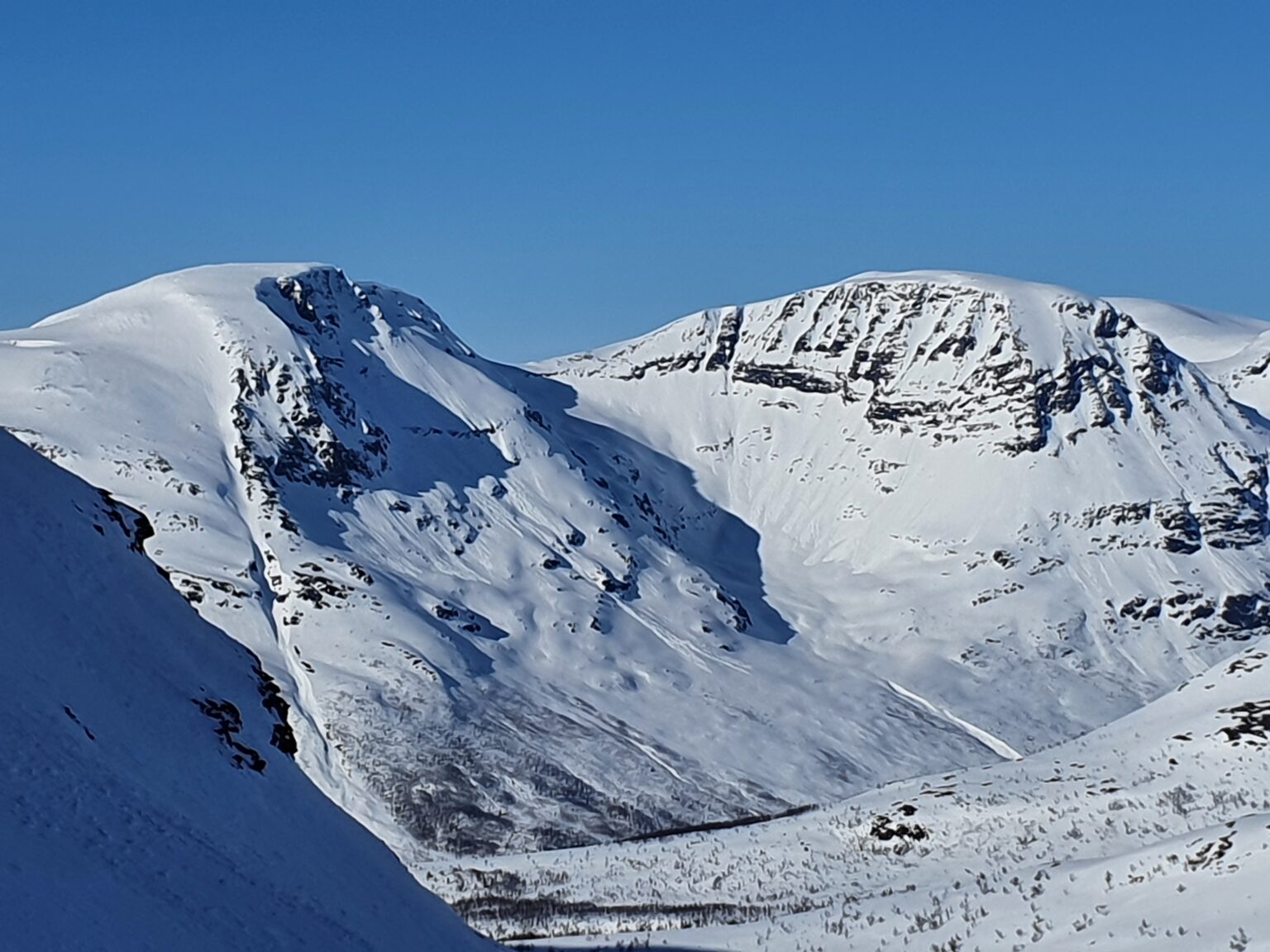
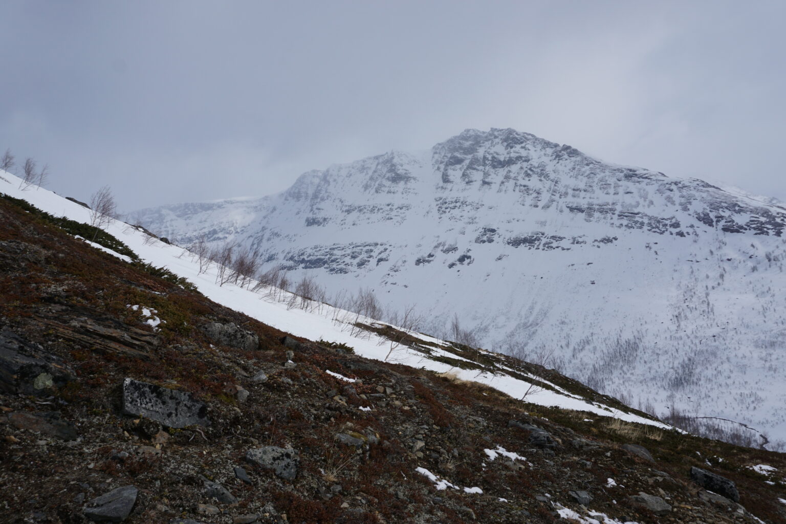
The South Gully on Tamokfjellet is a snow drainage that runs fall line from the summit all the way down to the Vassdalen Valley. This line is accessed from Camp Tamok at the base of the Finndalen valley and has a snowmobile road all the way to its base. With a starting elevation of 1,250 meters the feature itself is a little shy of 1,000 meters. Being a u shaped feature the South Gully of Tamokfjellet holds snow late into the ski season.
Looking at the South Gully of Tamokfjellet
Why the South Gully on Tamokfjellet
With a forecast calling for clouds heading from the SW Titti and I decided to head for the South chute of Tamokfjellet for two reasons 1st we were hoping that the slope would be in a rain shadow and have the best chance of being clear of clouds and 2nd if weather did come in we would have climbed up the chute and would easily be able to retrace our steps back down to Tamok Camp.
Heading Out on a Cloudy Day
We started our skin up the valley following a cleared out snowmobile trail. Though the forecast called for clouds somehow we were in the sun as we made our way south. By now it was still early May but the area was filled with a thick snowpack.
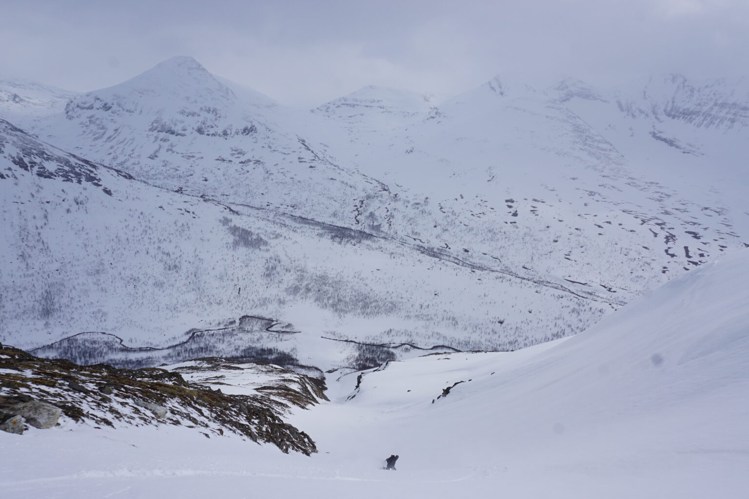
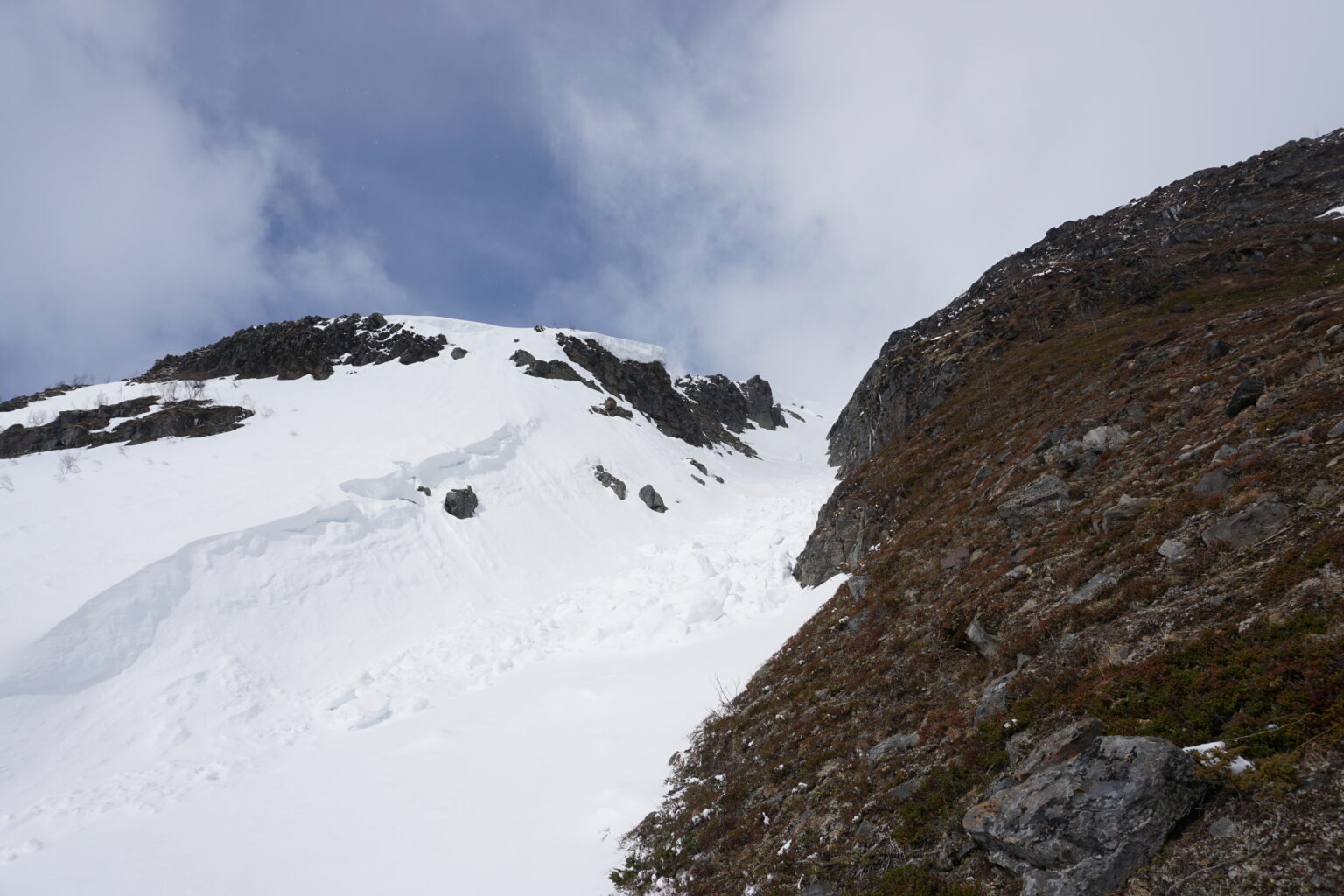
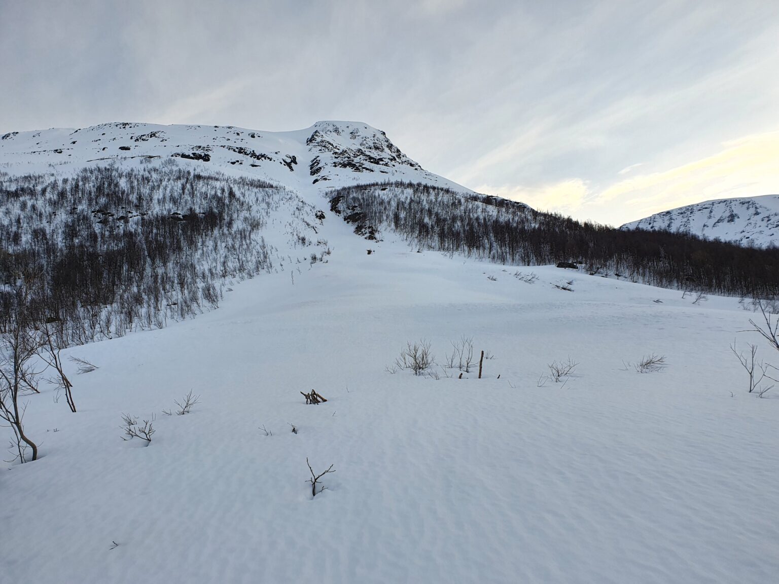
Heading 3 kilometres on the snow covered road we made it tot he base of the South Gully of Tamokfjellet. The route up looked direct as we could see most of the line. Putting our boards onto our packs we started climbing until arriving at a dry spot and rested for a few minutes while putting on our crampons.
Climbing up the South Gully on Tamokfjellet
The crux of the route was the bottom half with two steep rolls. Once above them the terrain started to mellow out with open slopes above us all the way to the top.
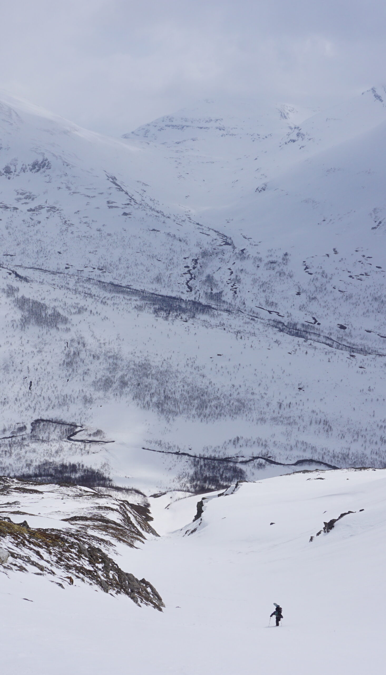
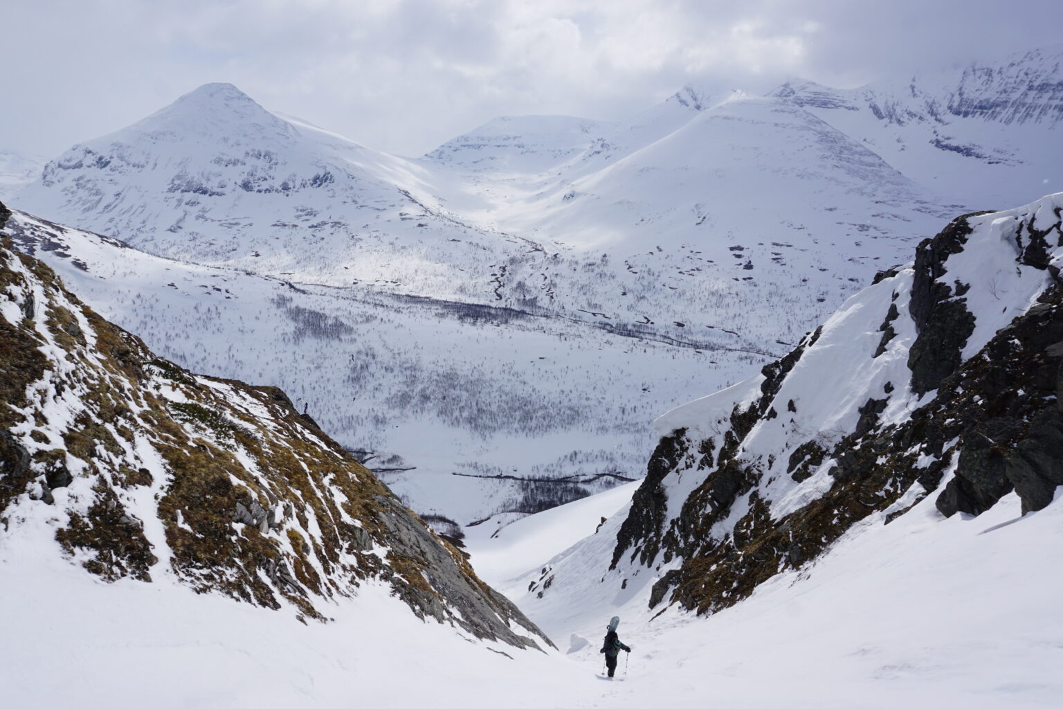
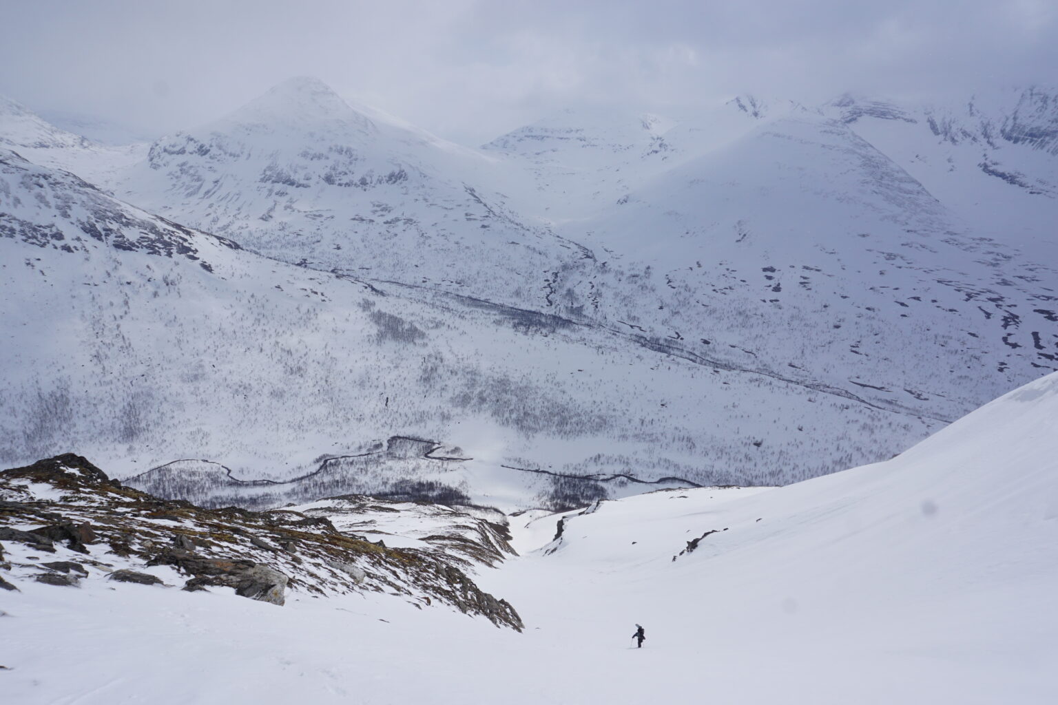
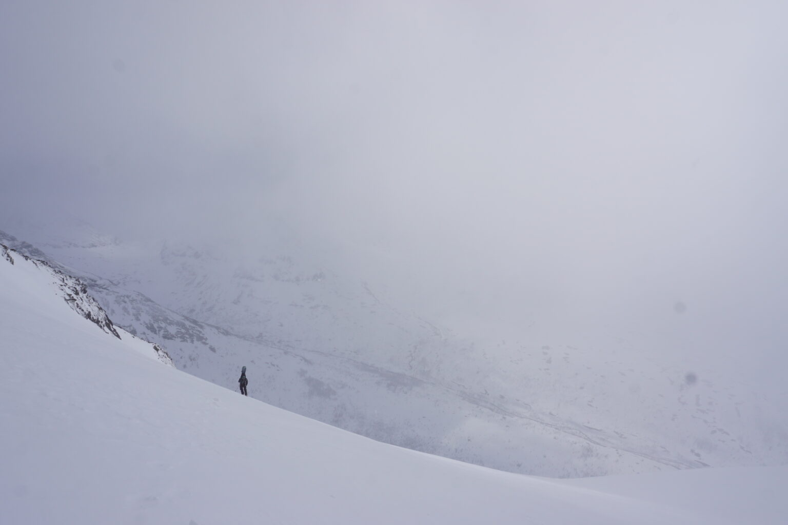
As we made our way up the clouds would come in and out. We were a bit concerned but the snow gradually improved with 15 cms of sheltered powder. Knowing there was a chance that we would be riding in a white out we were happy to know we could just follow our tracks back down.
Once we made it to the upper plateau we decided that heading to the true summit was a bad idea in case the clouds came in so we called it good and transitioned to board mode than waited a few minutes in hopes that a sucker hole would come and we could ride in bluebird conditions.
Snowboarding Down in Powder and Corn
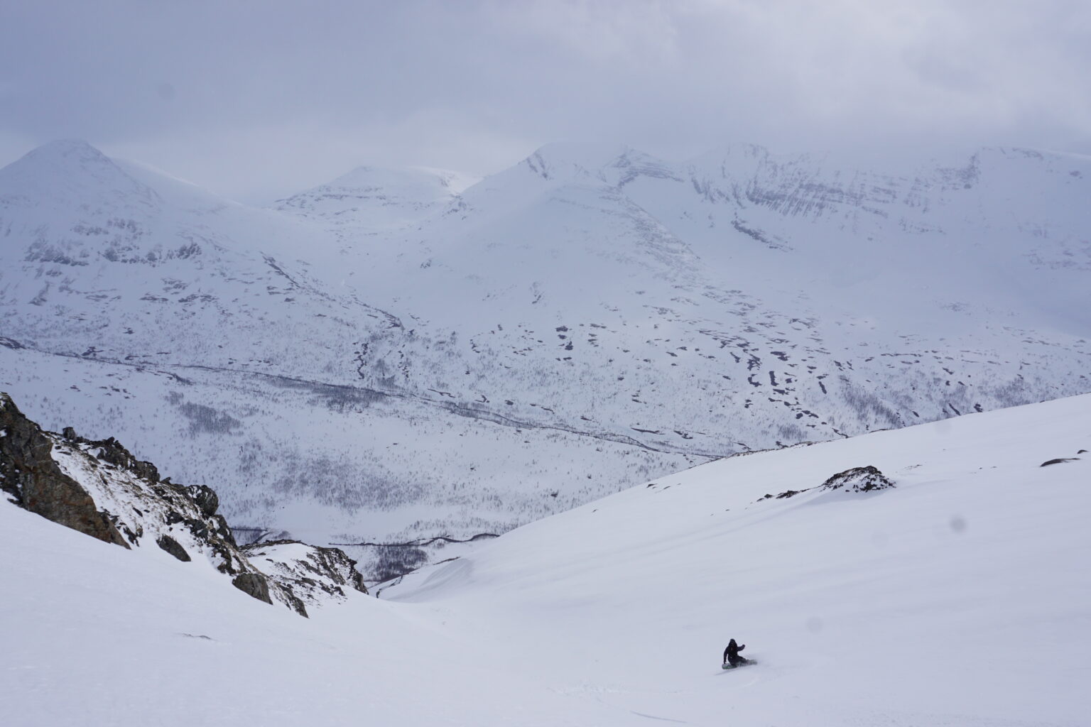
After around 10 minutes of waiting we decided to drop into the South Gully. I had not expected to find any new snow but there was enough to make the upper slope ride really good.
We broke the line up with a stopping point just above the steep sections of the gully. By now we could see down most of the line making open turns with the terrain features.
Once at the base of the line it was time to skin back on the flat road to Camp Tamok. Switching over we would occasionally look back up at the South Gully of Tamokfjellet. While we hadn’t expected much early in the day Titti and I felt like we had scored with our decision to head there.
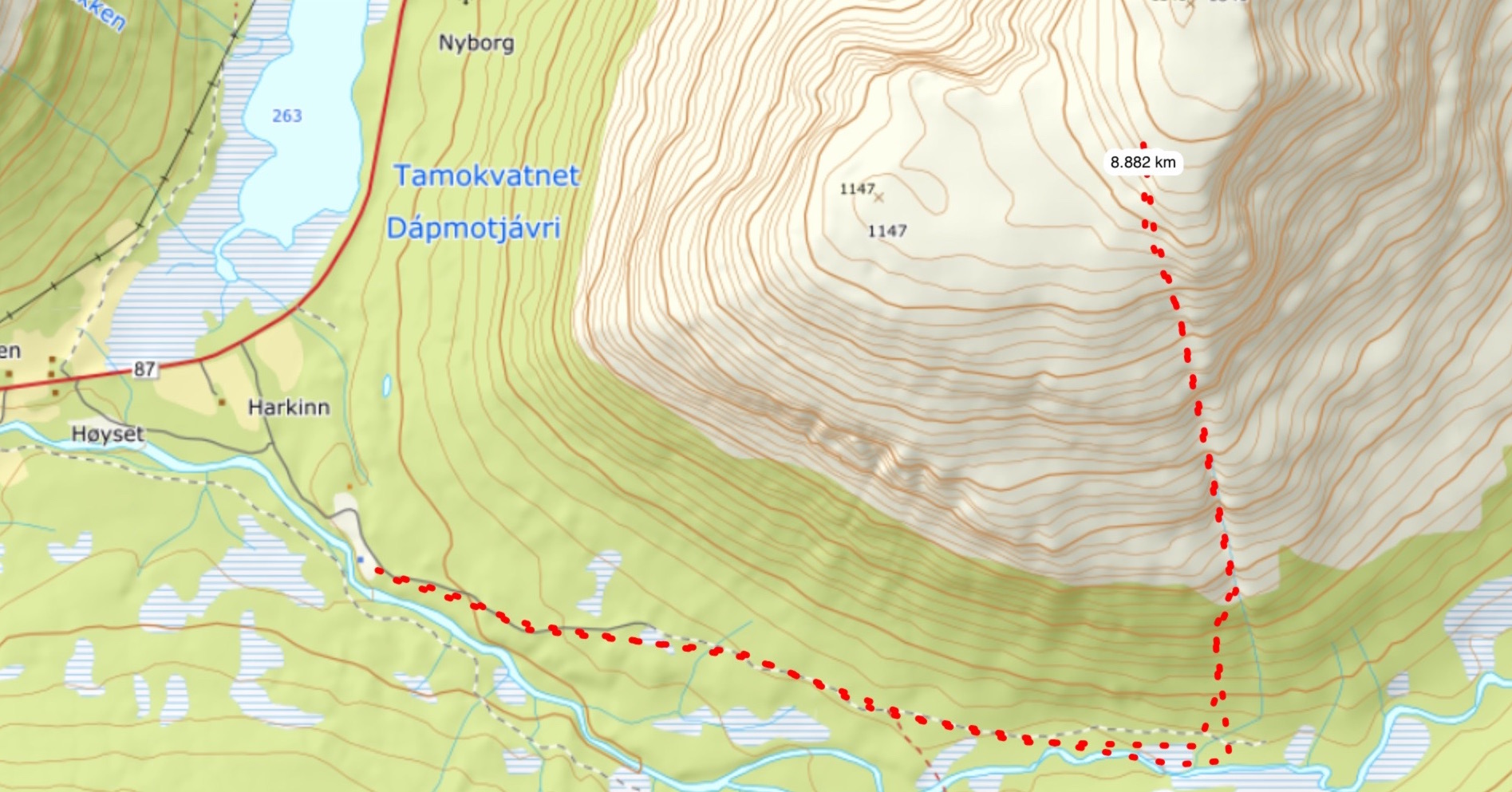
If you are interested in this ski tour here is the topo route below