Snowboarding the Interglacier in winter had always been a goal of mine. My usual experience was heading up once the White River Road had opened. Though I had ridden the area in powder conditions there is something about cold smoke powder. With the White River Road closed it would be a 16 mile skin in but we had Snowmobiles. With the sleds we would be able to make our way up to the White River Campground. Since it was the darkest time of the season it would be a cold and short day. But the rewards were riding the 4,000 foot line off the Interglacier in winter conditions all the way to Glacier Basin.
Heading up the White River Road
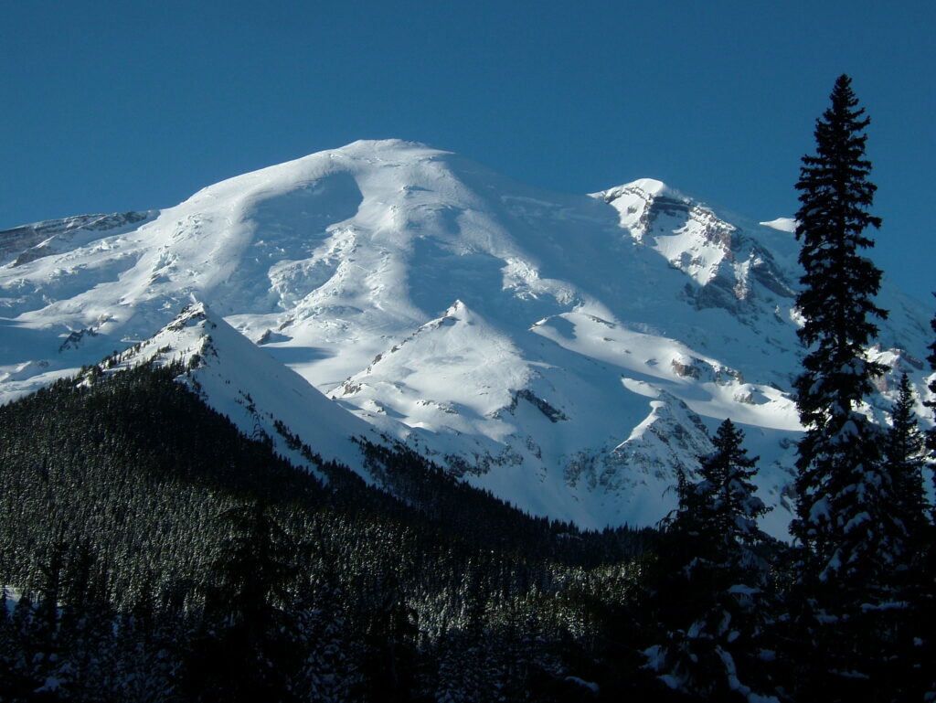
Sledding up the White River road was going smooth as we started in the morning. We were passing all the summer trail heads before making our way to the White River Bridge. Once at the bridge we had to stop. It was a jaw dropping view of Mount Rainier loaded with new snow. After snapping some photos it was time to get moving the last mile to the White River Campground.
Making our Way up the Glacier Basin Trail
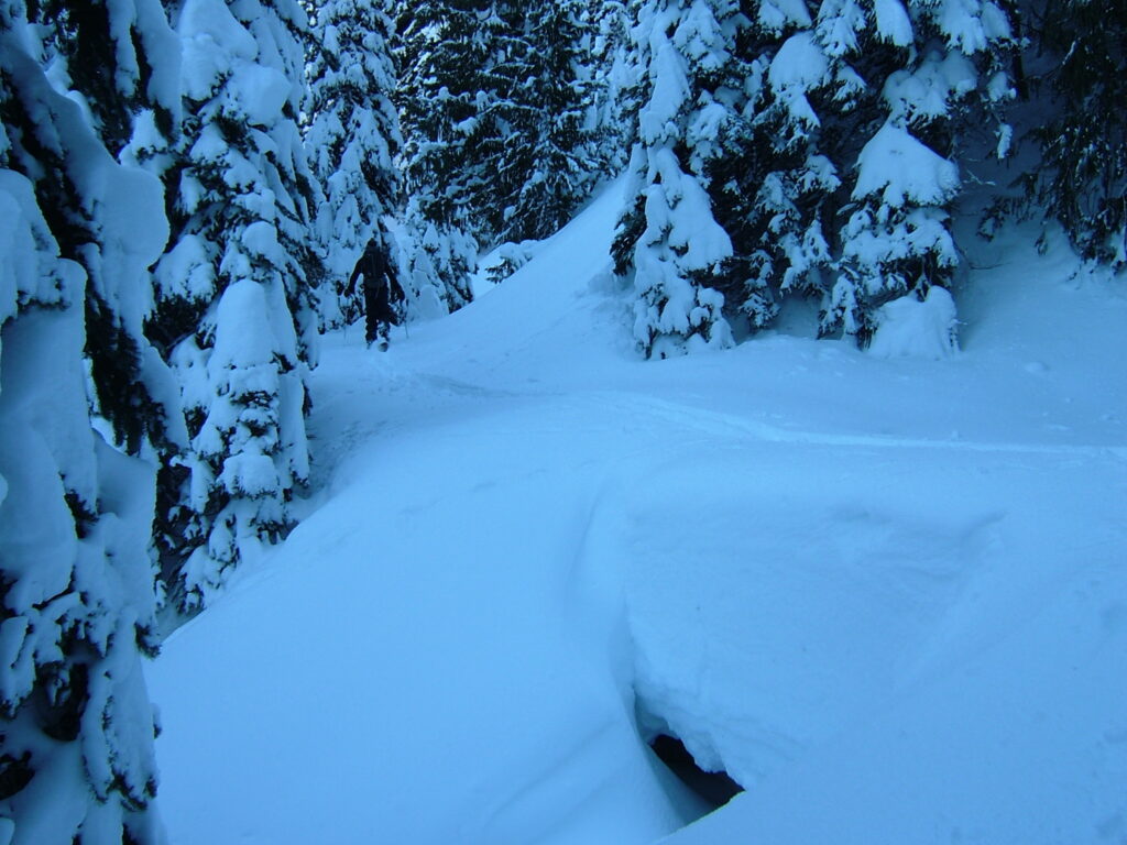
We arrived at White River campground around 9 a.m. quickly got our splitboards set up. After a few minute we got onto a skin track we had put in a few days earlier. The valley was cold as we started skinning in the shade through the old growth forest.
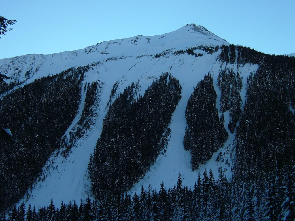
Soon we were passing by Goat Island Mountain and its massive North facing avalanche swaths. We looked up to see if we could see our tracks on it from a few days earlier but we were too far away. It is such a stunning and steep face with numerous options. The video for the trip can be found at the bottom of this post.
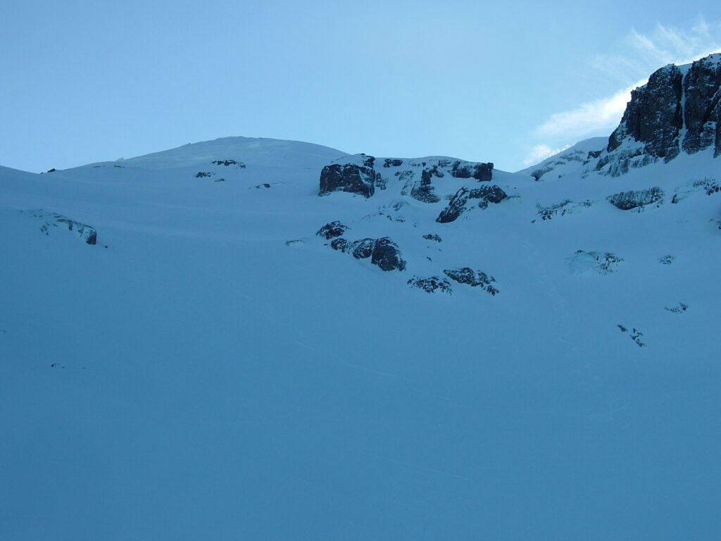
Skinning up Glacier Basin and the Interglacier in Winter Conditions
We broke track nonstop making it all the way into Glacier Basin at 11:00. As we made it into the valley the temperature seemed to drop dramatically. In front of us was the Northeast Couloir of Mount Ruth which we would ride a few days later.
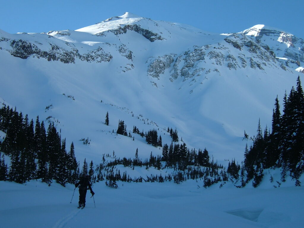
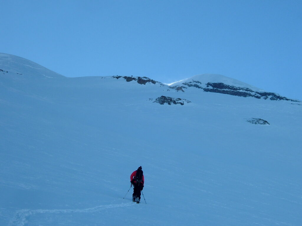
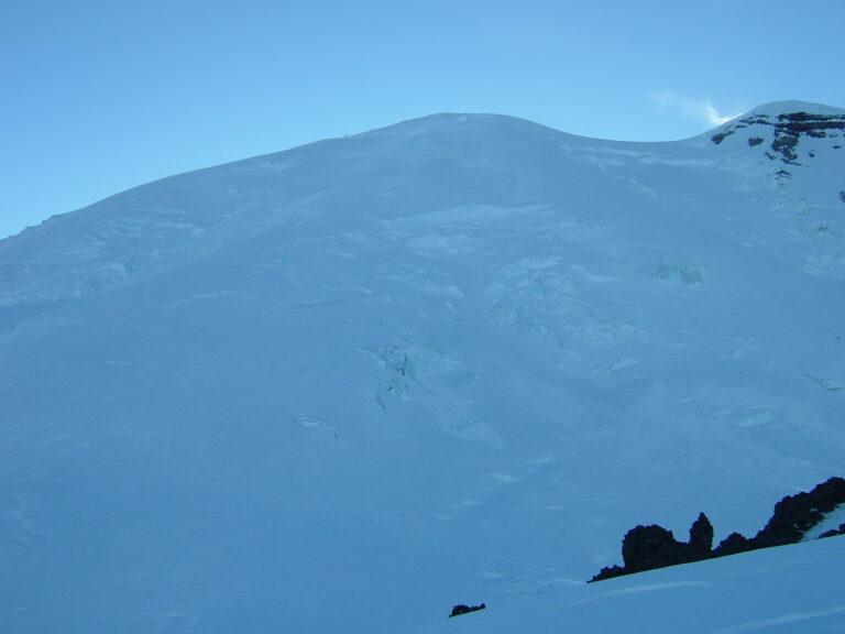
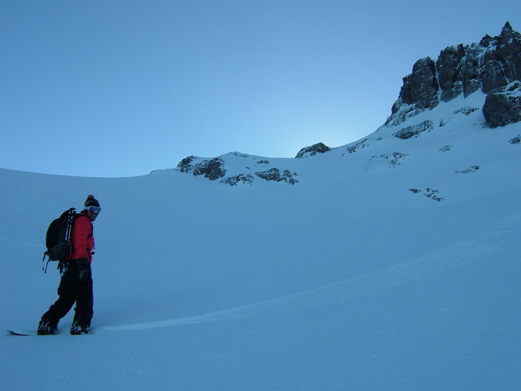
The snow was in great condition as we skinned directly up Interglacier. From our perspective it was hard to tell if the high point beyond us was the summit of Rainier or Steamboat Prow. It was a cold track up as we never really got into the sun, looking forward to make it back in the sun up top.
Standing on the Summit of the Interglacier
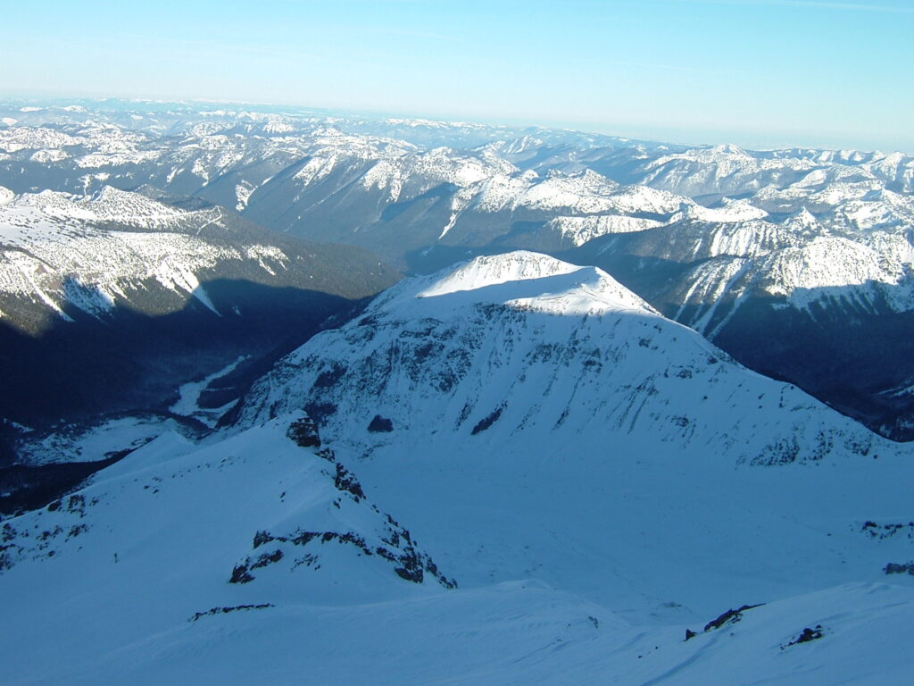
We were greeted by strong gusts making our way to Steamboat Prow at 2:30. Just enough time to take in the views of off the surrounding Cascades. In the photo below we could see the South face of the Third Burrough up front. Behind that was Mount Fremont and Skyskraper Peak. In the far background was the Dakobed Range on the right and Glacier Peak on the left.
Looking off to the Northeast was the Burroughs all the way to Sunrise Visitor Center in the Middle. On the right hand side was the Crystal Mountain Backcountry. In the far middle is the Mount Stuart area and to the left is the Mount Daniel and Hinman area.
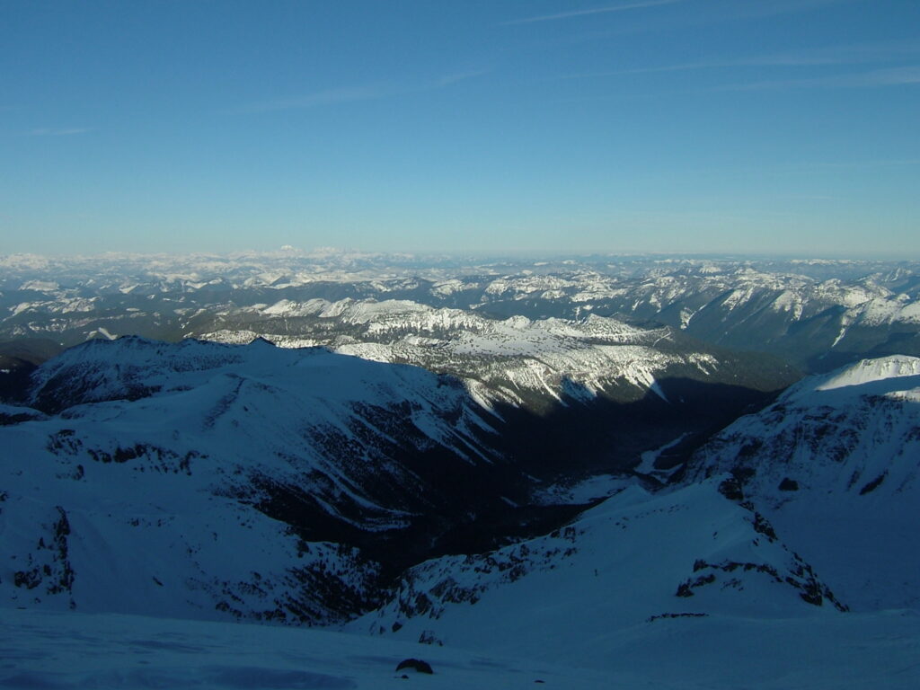
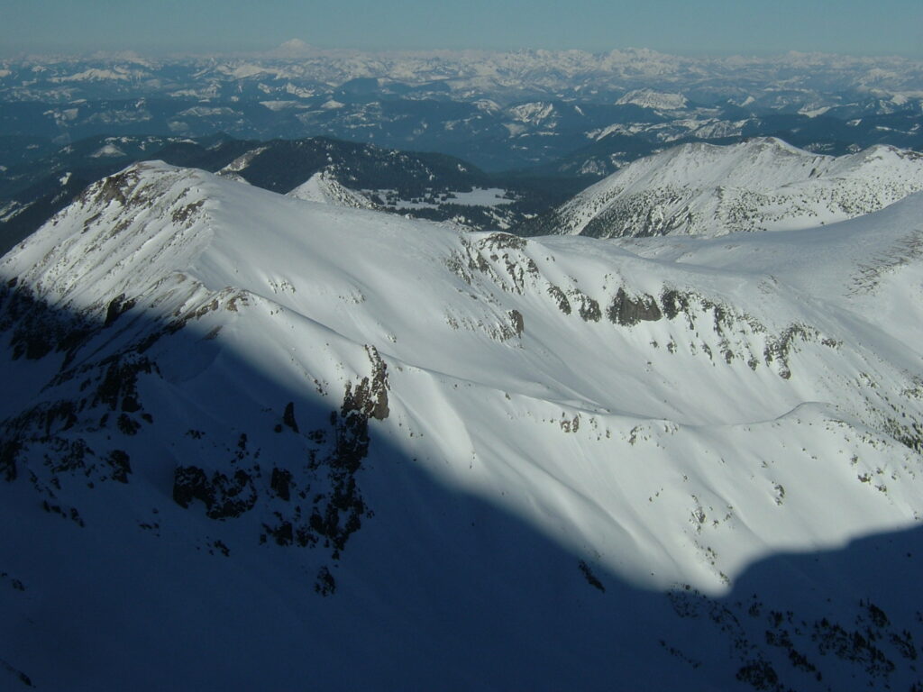
In this photo is Goat Island Mountain in the Middle which has a video below. On the right side is Tamanos Mountain, behind that in Governers Ridge. There was also the Crystal Mountain backcountry from Cayuse Pass to Crystal Mountain. The high point in the Middle is Shepard Peak.
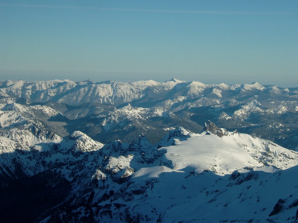
To the Southeast was the terrain from Paradise to Crystal Mountain. The shaded area on the bottom of the photo is the Sarvant Glacier area. The rocky outcropping is the Cowlitz Chimneys and in front of that is Ohanapecosh. In the far distance the high point is Mount Aix.
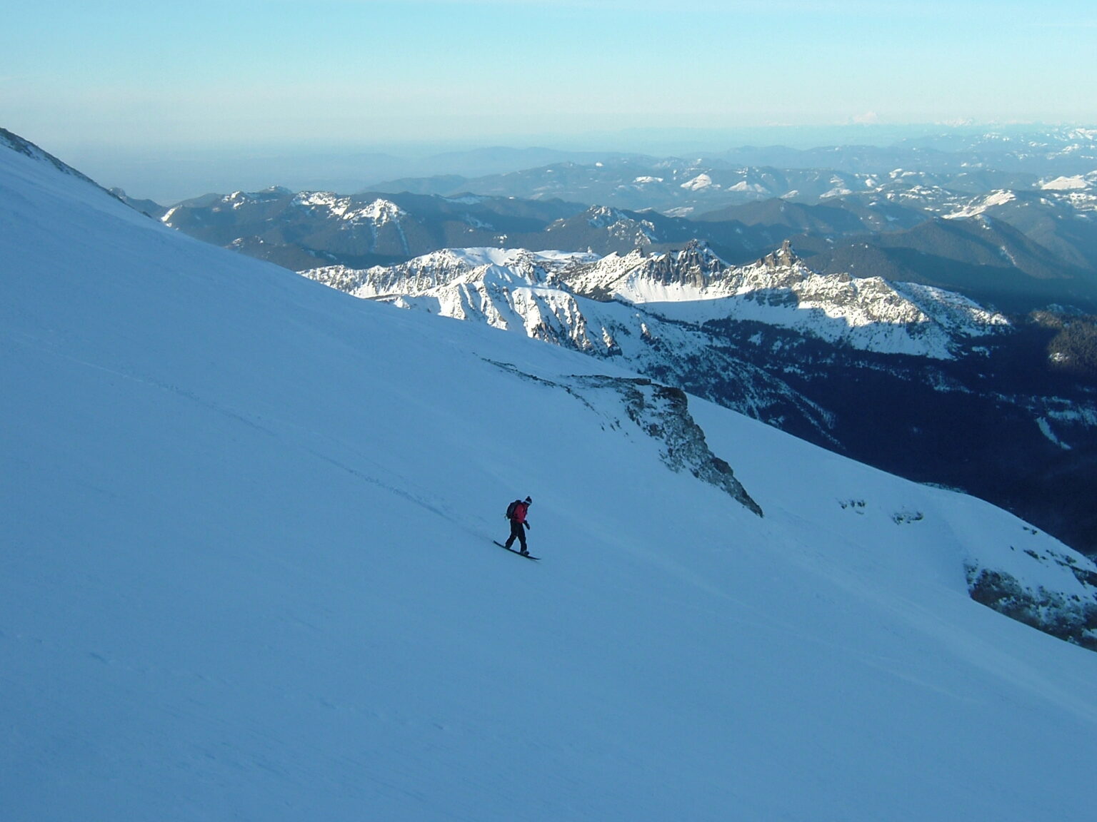
Snowboarding Down the Interglacier in Winter Conditions
Soon enough we had enough of the views and it was time to snowboard. While skinning up we had noticed that the gullies were sheltered from the wind and held the best snow. Dropping in we quickly confirmed our beliefs that riding the Interglacier in the winter was the way to go.
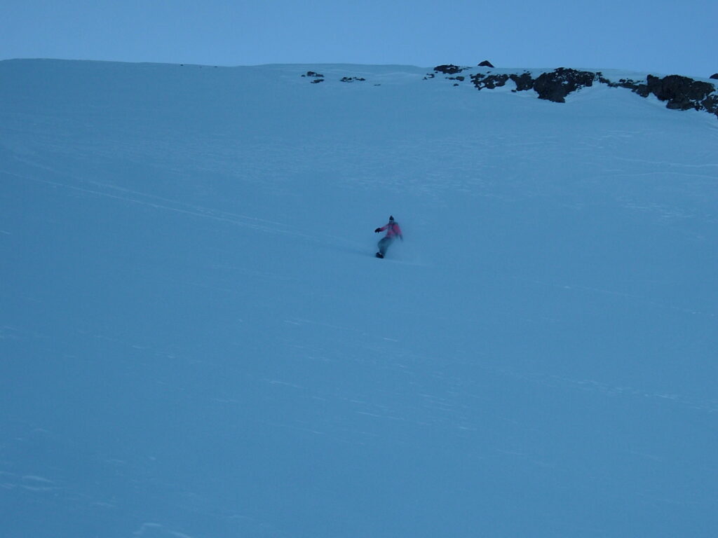
Every turn was amazing as we made our way down the scenic line. In the distance I could see the Moraine Park area that I would ride a few year later basking in the sun.
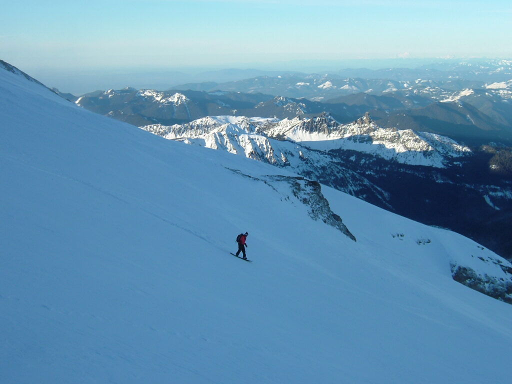
Before long we were riding the final steep pitch and still experiencing amazing snow. We could immediately tell that the temperature dropped once riding into the basin.
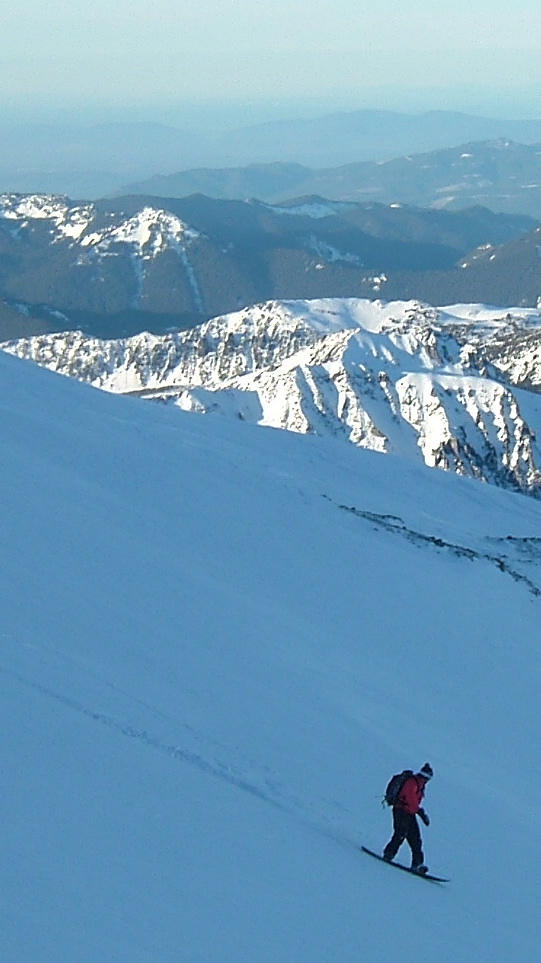
After a 5 minute run we were at the bottom of the basin with our thighs burning and a huge smile. We had scored big time but we knew not to get too excited. We still had a long exit ahead of us and were loosing light fast.
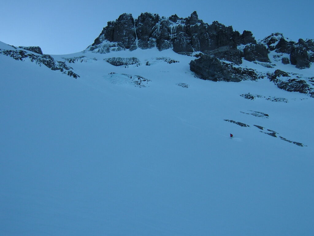
Looking back up the Interglacier there were now two snowboard tracks going down the main face. On the lower section we traversed to the right side where you can see the photo below.
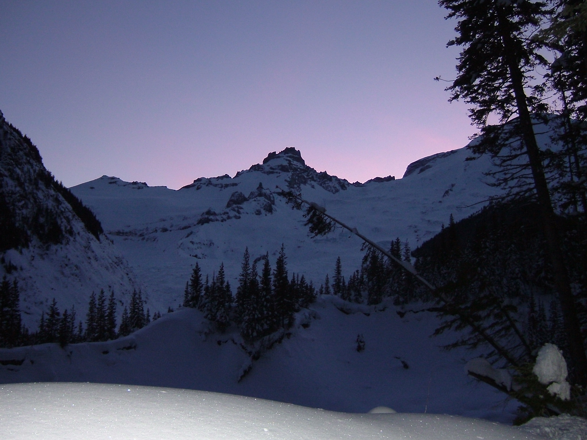
The Long Exit Down the Glacier Basin Trail
We rode all the way down to 5200 feet before crossing the river. With the new Glacier Basin Trail we were able to ride 80% of the way but had to occasionally bootpack in our own skintrack. As dusk hit, we said our goodbyes to Little Tahoma and Whitman Crest as the last view opened up
Back at the White River Campground it was time to get out the headlamps. We had taken advantage of all the daylight and it was time for the 16 mile ride back to the car park. Rushing down the road we finally made it back to the car and were heading back home. It was an amazing trip riding the Interglacier in Winter
Thank you for reading this trip riding the Interglacier in Winter and want to see more ski tours within Mount Rainier Backcountry check out this link