
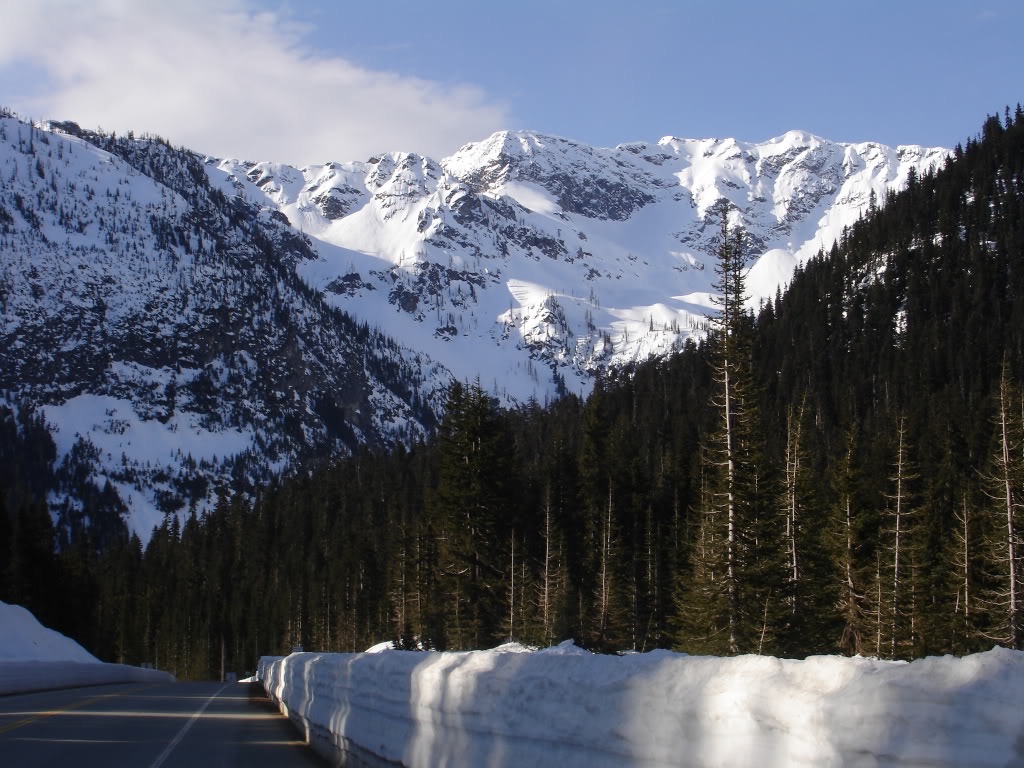
Frisco Mountain is one of the numerous options off of Rainy Pass to the southeast. While it would be a great ski during Midwinter the road doesn’t open until mid April. With Highway 20 just opening we made our way up the road and set up camp next to the snowpack. After riding Black Peak the previous day we were looking for another option in the area. Studing the map we decided that Frisco Mountain would be a great option. We would get to check out some new mountains right from camp. Being a nice looking northwest face hopefully we would also get some good turns all the way back to Highway 20.
Leaving Rainy Pass for Frisco Mountain
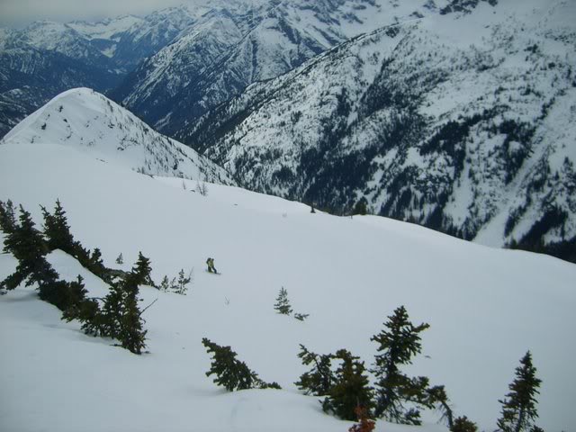
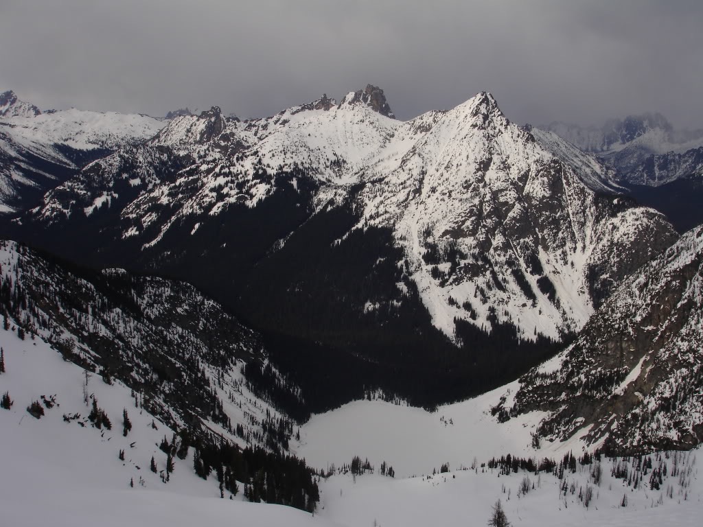
As we packed up our gear the terrain around Frisco Mountain was in clear view. It was our second day of touring off of Highway 20 and basically had no official plans. We had original wanted to check out Silver Star Mountain but someone had mentioned conditions were bad. Knowing that conditions were better in the Rainy Pass area we decided to stay local. With the sun lighting up the upper faces it was an obvious plan B.
We followed our route from the previous day skinning through the low elevation trees. Before long we crossed Ann Lake and were making our way up to Maple Pass. It was a relatively gentle climb as we soon made our way towards the ridge. To the west we had a clear view of our previous days route climbing Black Peak.
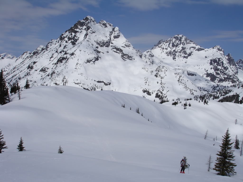
Arriving on Maple Pass we had a clear view to the south. A low summit of Frisco Peak had caught our attention as it looked like a nice ramp. At the moment we would have to descend low into Maple Creek if we wanted to get there. Instead we came up with a plan to head towards the Lyall Glacier. From there we would hopefully find a low col that would provide higher access to the satellite peak.
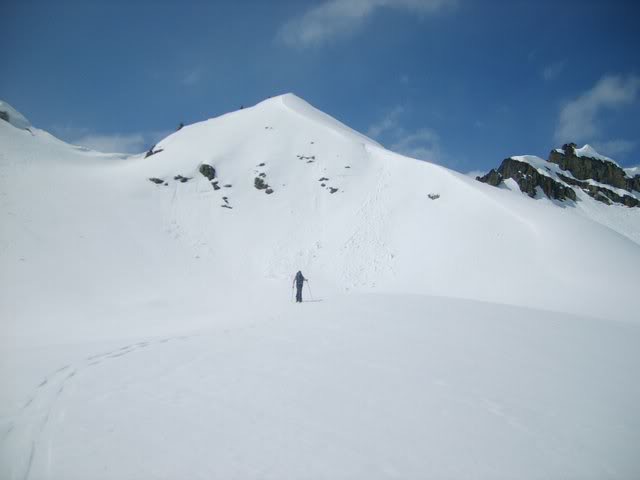
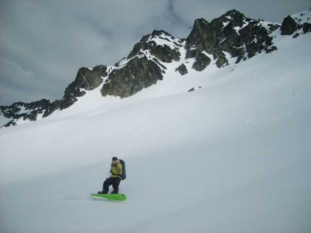
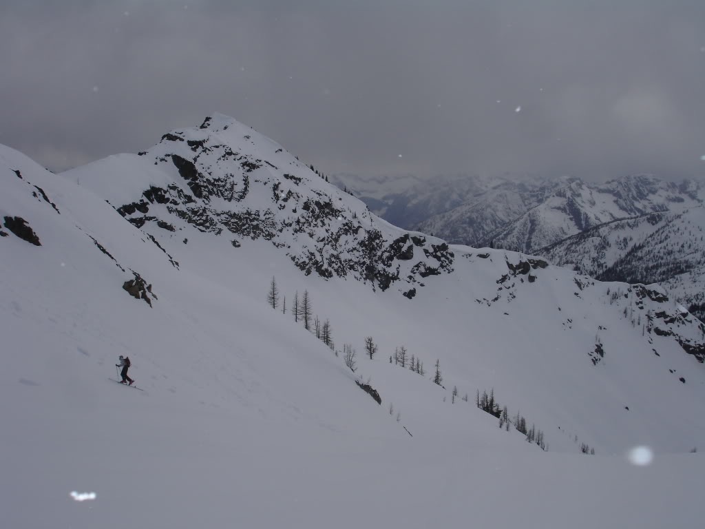
Getting Ready for our First Run of the Day
Arriving at the ridge of Frisco Peak we quickly realized that the col was too technical for our liking. Being both narrow and exposed we decided it made more sense to ride around it. Transitioning we looked toward the northeast. We would be able to drop a 1000 feet and hopefully be able to wrap around to a low col.
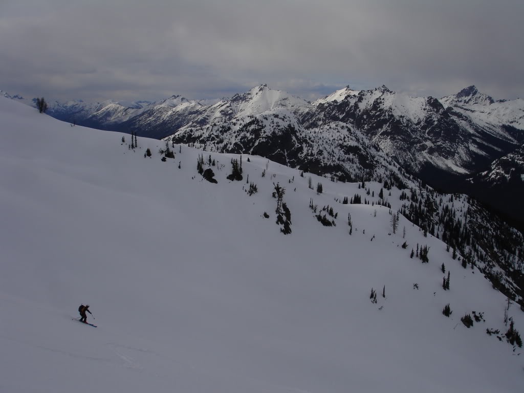
Dropping in we were happy to find steep and edgeable corn. We would ride fall line next to the cliffs over 1000 feet before transitioning. While it was the warm up run we had already made some fun turns.
Once we were low enough to easily skirt around the cliffs we made our way east. Walking toward the remnants of the Lyall Glacier we were happy to find mellow terrain. Looking at the terrain above us we spotted a low col and put of skis on our feet. From what we could tell it would be a smooth route all the way to the ridge above.
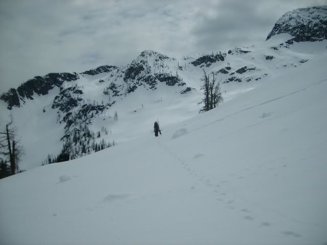
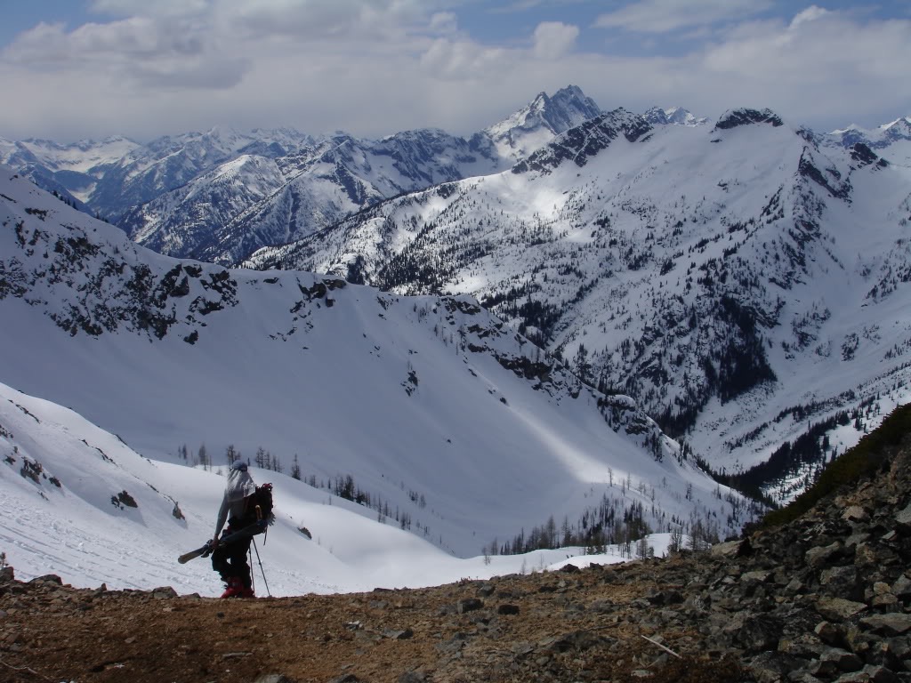
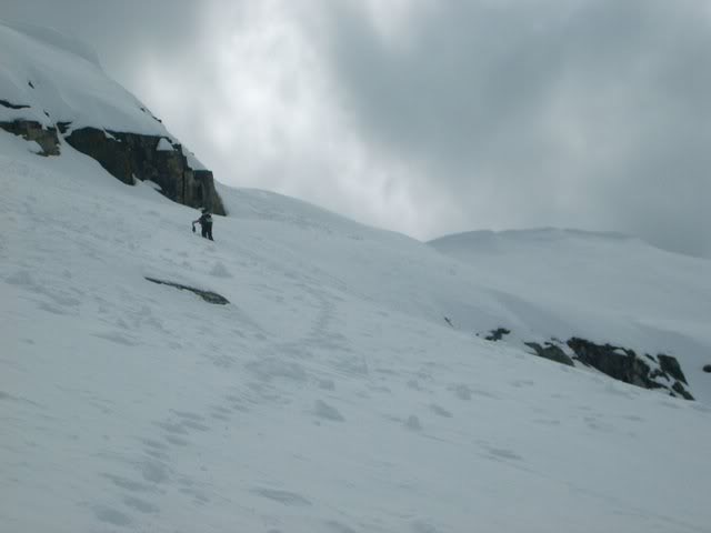
Heading up the Lyall Glacier on Frisco Mountain
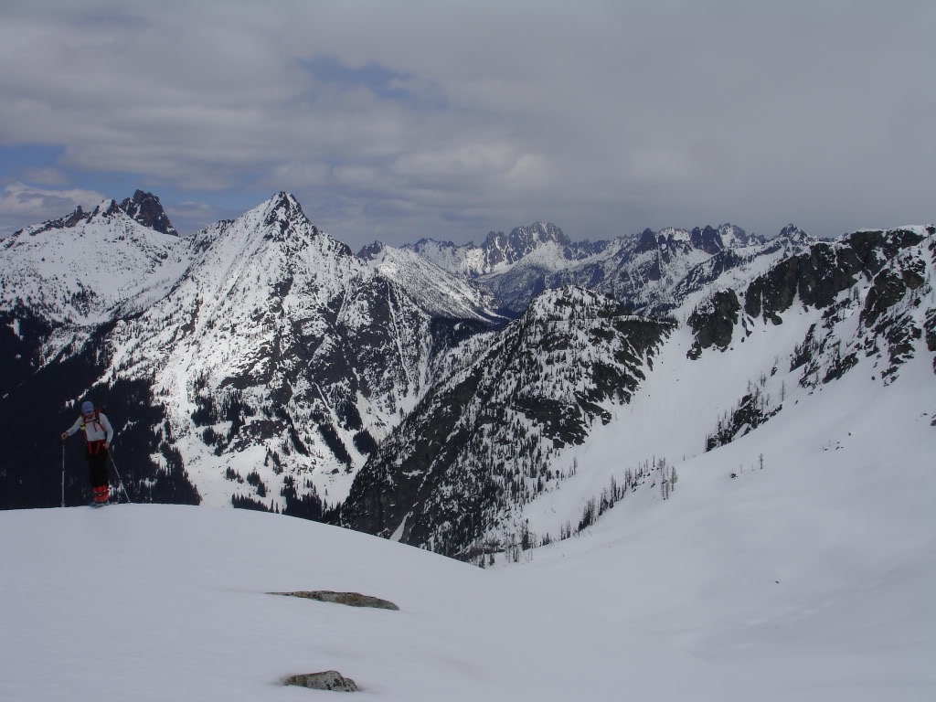
Skinning up we were taken back by the view of the North Cascades. Though I had been there a few times before this was a different perspective. From our vantage point we could see towards the mountains of Washington Pass. Though the clouds had started to move in we still had great visibility.
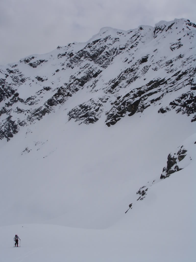
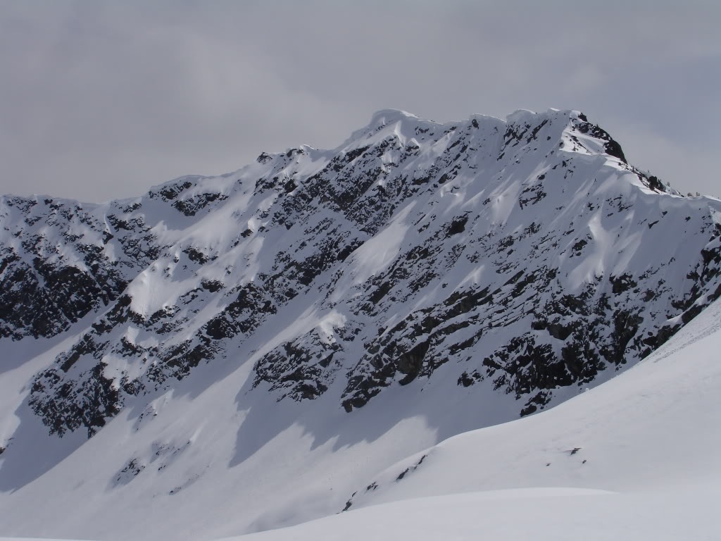
Skinning under the true summit of Frisco Mountain it became obvious there wasn’t much to ski there. The snow hung to the rocks off the steep glacier carved face. While stunning looking we wanted nothing to do with it.
Before long we were in the upper bowl and our col was in sight. There was a small but aesthetic pyramid in front of us as we made our way south. While not the true summit we would settle for it for our final run to the valley.
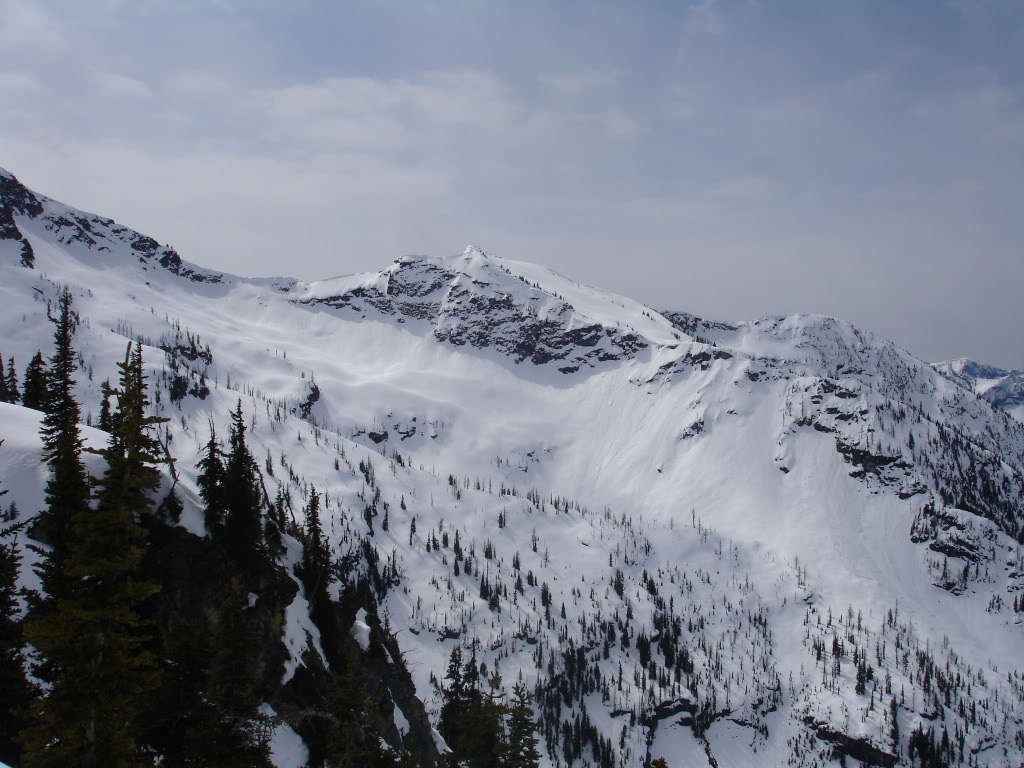
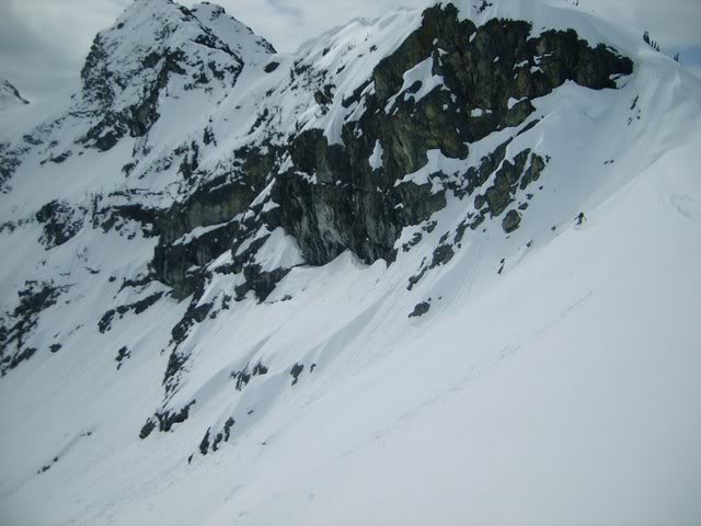
Looking back at Frisco Mountain the shadows made the ridges stand out. While there is potentially a chute in the middle we didn’t have a clear view. This was our chance to check out the terrain and make some turns. While we were game for steeper turns this was beyond our interest.
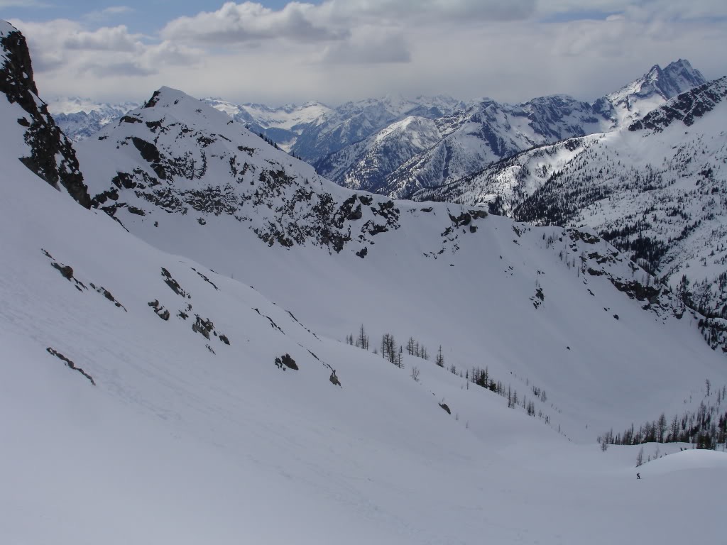
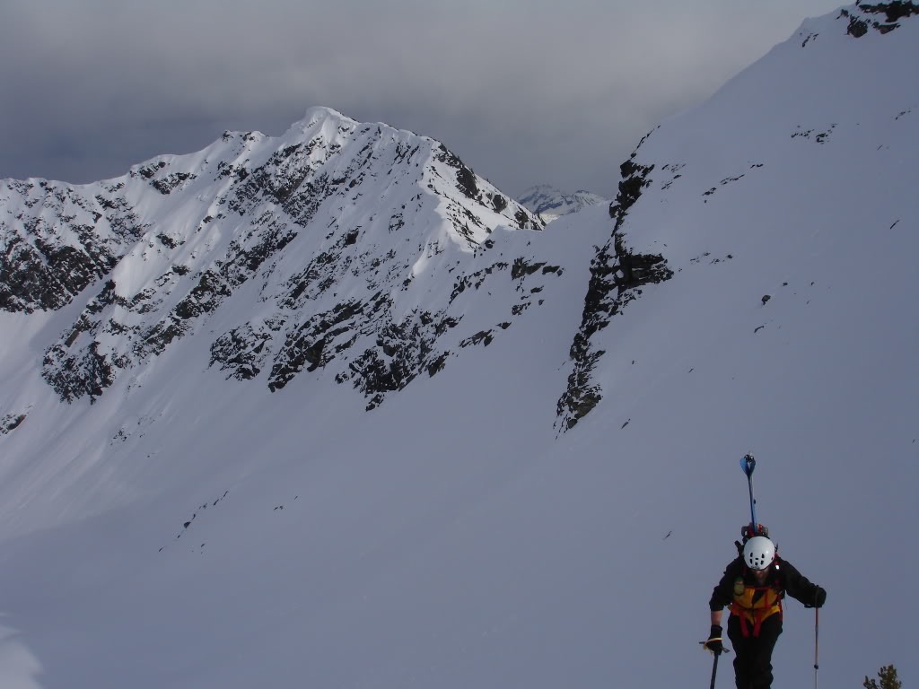
Our First View of our Destination
Standing on the col we had a clear view into Maple Creek Valley. There was some great potential for ski tours but not enough time. Our focus was on the ridge in front of us and we would make our way through the rock band. Though we could barely see Mount Goode in the distance that would have to be another trip all together.
Finally we had a clear view of the mountain that peaked our interest. We were happy that we had climbed the extra distance for an easier route. As we transitioned we came up with a game plan to climb the west ridge, After making our way through the lower rocks it seemed like an easy climb all the way to the summit.
Dropping in it was a mixture of traversing and snowboarding. We wanted to get as close as possible but I still wanted to make some turns. Dropping around 500 feet we were able to knock of a mile before transitioning.
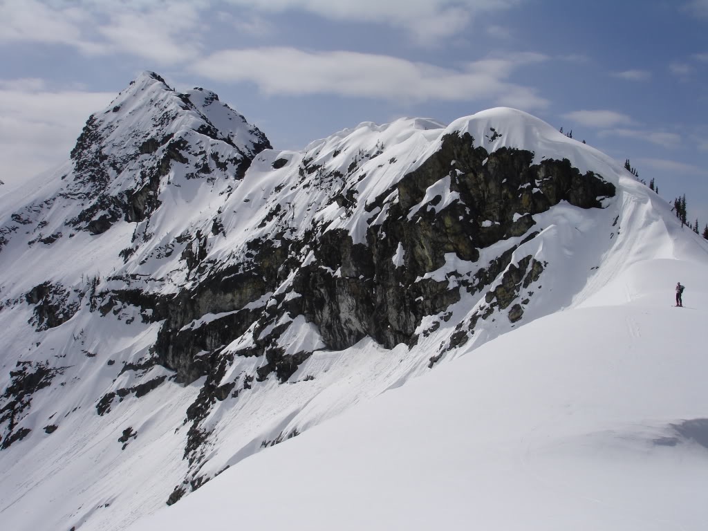
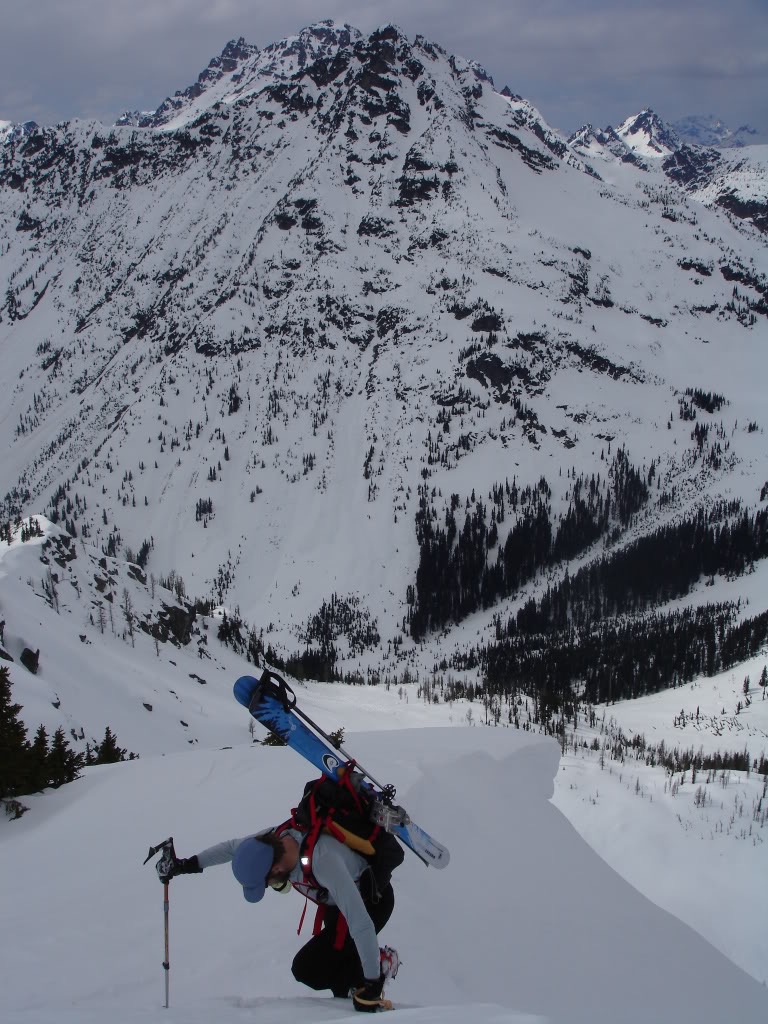
Back to Climbing on Frisco Mountain’s Satellite Peak
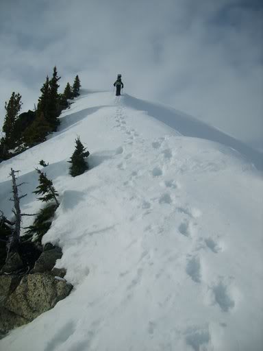
The moment we hit the base of the satellite peak we switched over to bootpacking. It was far too steep to skin and it would be faster in the long run. A step at a time we navigated through the rocks. While looking sketchy from a distance in the end it was simple and straightforward.
Once on the ridge we were happy to see that it was a smooth route. Behind us Corteo Peak rose 4,000 feet above the Maple Creek Valley as we kick stepped our way up. Finally we were on a mellow ridge and gaining elevation fast.
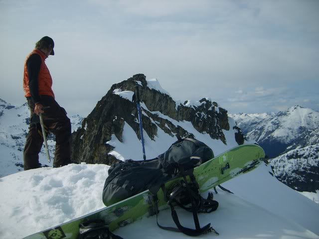
Before long we were standing on our summit and taking in the views. To the South we had a clear view of the North Cascades. Rising above the South Fork of Bridge Creek was McGregor Mountain and Bowan Mountain. It was an area I was unfamiliar with but looked like it offered great skiing.
Our Main Run of the Day Towards Maple Creek
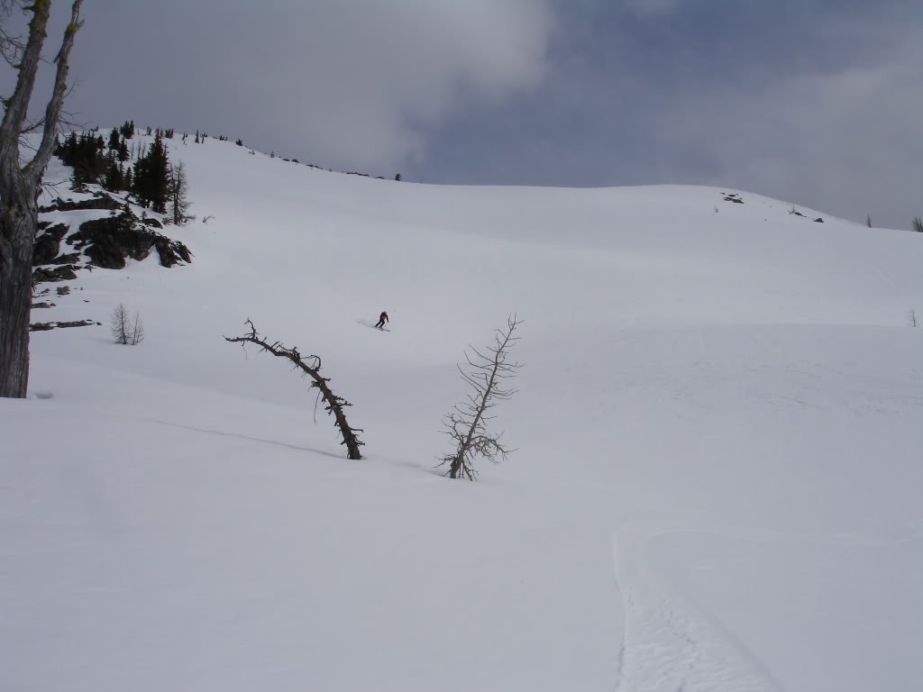
After soaking in the views for a while it was time to start riding. The beginning of the run would offer some nice mellow turns before the crux. As we dropped in we couldn’t help to feel small compared to the landscape in every direction.
Being an open slope it almost felt misleading. If we hadn’t climbed the route we would of have though it was a mellow shoulder the whole way down. We were lazily taking turns through the cloud filtered snow in a wide open space.
Soon enough it was time to get off of the ridge and ride into the northeast bowl. While it wasn’t steep for long we knew we had some rocks to deal with. After a small traverse we spotted our line and prepared to find a route between the rocks below.
Riding down we were easily able to go between the rocks before the slope opened up. Know the we could ride as long as the snow was good with a mellow traverse. We would have to retrace our route into the bowl but decided to head down lower into the valley.
Back to Skinning up Frisco Mountain via the Col
Once in the main gully it was time to start skinning back up to the col. Putting on the skins we made a mellow track through the terrain towards our low col. Behind us and to the south was our satellite peak now with two tracks coming off it. We were able to ride well over a 1.500 feet offering 3 different styles of terrain. First it was a nice mellow ramp. Secondly it was dodging rocks off the steep ridge. Then it was wide open slopes as far as we wanted to go.
Back at the ridge of Fisco Peak we started climbing up the west ride. We had spotted the Pyramid originally when going to the col and knew it would take us past the flats. With our boards on our packs we made the final bootpack of the trip.
By now it was getting later in the day and shade was covering the upper slopes. Within an hour we would be back at the car and looking towards our tracks.
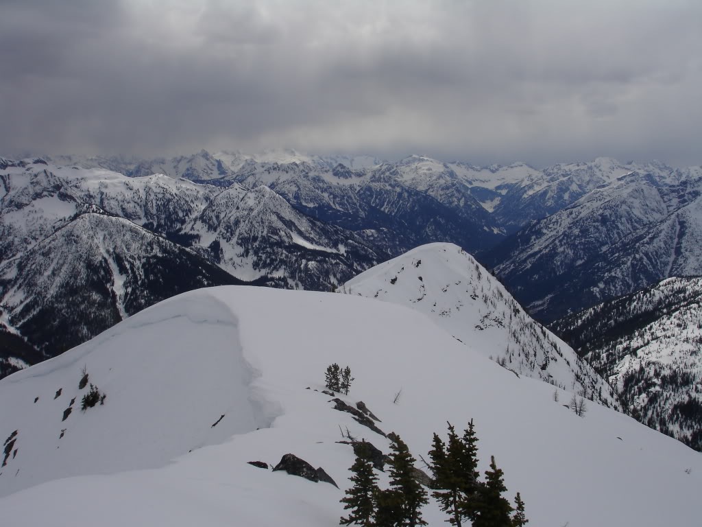
Arriving at the Summit for our Last Run of the Day
Before long we were on our last summit being a western ridge of Frisco Peak. It had been a great day checking out the scenery of the North Cascades. Though it had only been two days out there we felt like we knew the scenery better.
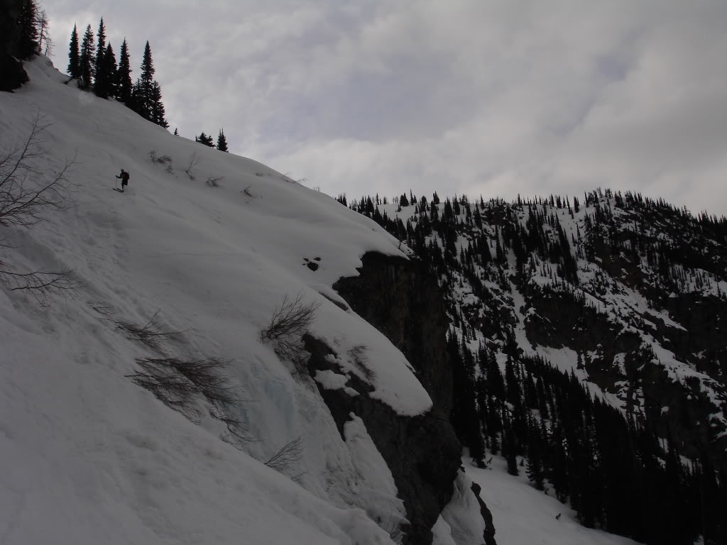
Below us was our final run down to Highway 20. In front we could see a mellow line but it seemed to drop dramatically to Rainy Lake. We knew there was a cliff in there according to topographical lines. The plan was to check out if we could find a way through. If we couldn’t we would just have to climb back over Maple Pass and ride down the way we came.
Riding Down to Rainy Pass and Highway 20
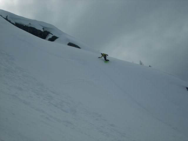
Soon enough we were making turns down the Lyall Glacier bowl of Frisco Mountain. While the light was flat the terrain was easy to work with. It was still soft corn which made for fast riding.
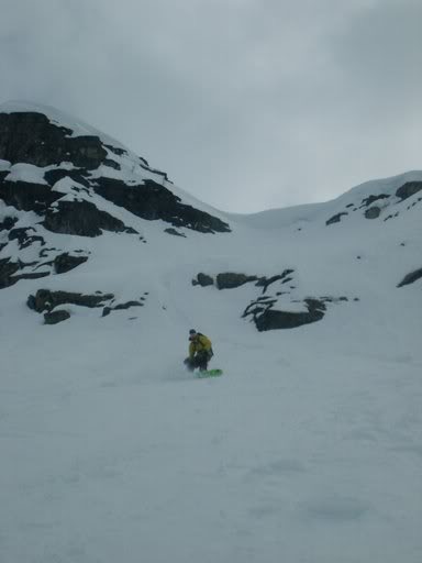
Before long we were at the crux of the route and looking for a way through. There was an obvious ramp that went across into the open bowl as we traversed onto it. Riding between icicles and cliff bands we were happy that the snow was edgeable.
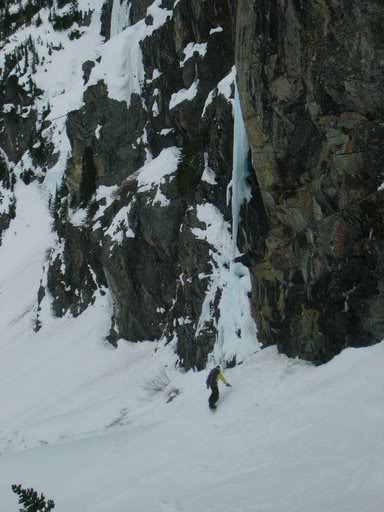
A few a few stressful seconds we finally made our way over to the open slopes below. We had found a route to ride all the way to Rainy Lake. Now we just had some mellow terrain between us and the car.
Skinning across the lake we had a clear view of Frisco Mountain. We were fortunate that we had found a way through the massive cliff band. By now the sky was darkening quickly but it didn’t matter. We were only minutes away from the car and would soon be driving back to civilization.
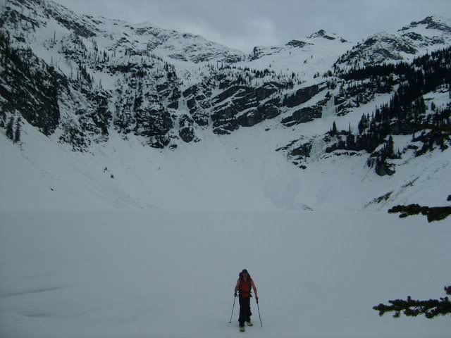
Back at the Car on Rainy Pass after riding Frisco Mountain
Arriving at the car we were happy with the both of the tours we had done. While one trip was focused on summiting a peak this one was all about seeing the scenery. A trip at a time I was falling more in love with the North Cascades. I knew I would return soon for another wild adventure.
Thank you for reading this trip on Frisco Mountain. If you want to see more ski tours within the the Highway 20 corridor check out this link.
and for a full and text only list of all Trip Reports Click Here